


Millington Place, Newark to Greenfields Close, Newark
- 6,7 km
- 28 m
- 12 m
- Newark on Trent, Anglia, Zjednoczone Królestwo Wielkiej Brytanii

Odkrywaj mapę z 316 trasami rowerowymi i szlakami w pobliżu Newark on Trent, stworzonymi przez naszą społeczność.
Portret regionu
Znajdź odpowiednią trasę rowerową dla siebie w Newark on Trent – mamy tam 316 tras do odkrycia. Większość osób wybiera się tutaj na rower w miesiącach Maj i Czerwiec.
16 378 km
Zarejestrowany dystans
316
Trasy rowerowe
25 376
Populacja
Wspólnota
Od naszej społeczności
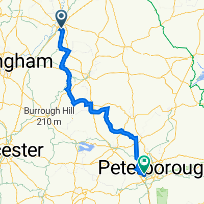
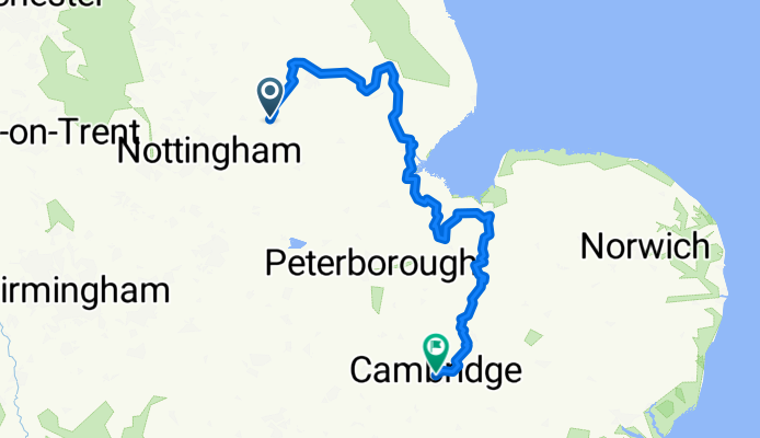
Trasa rowerowa w Newark on Trent, Anglia, Zjednoczone Królestwo Wielkiej Brytanii
Trasa rowerowa w Newark on Trent, Anglia, Zjednoczone Królestwo Wielkiej Brytanii
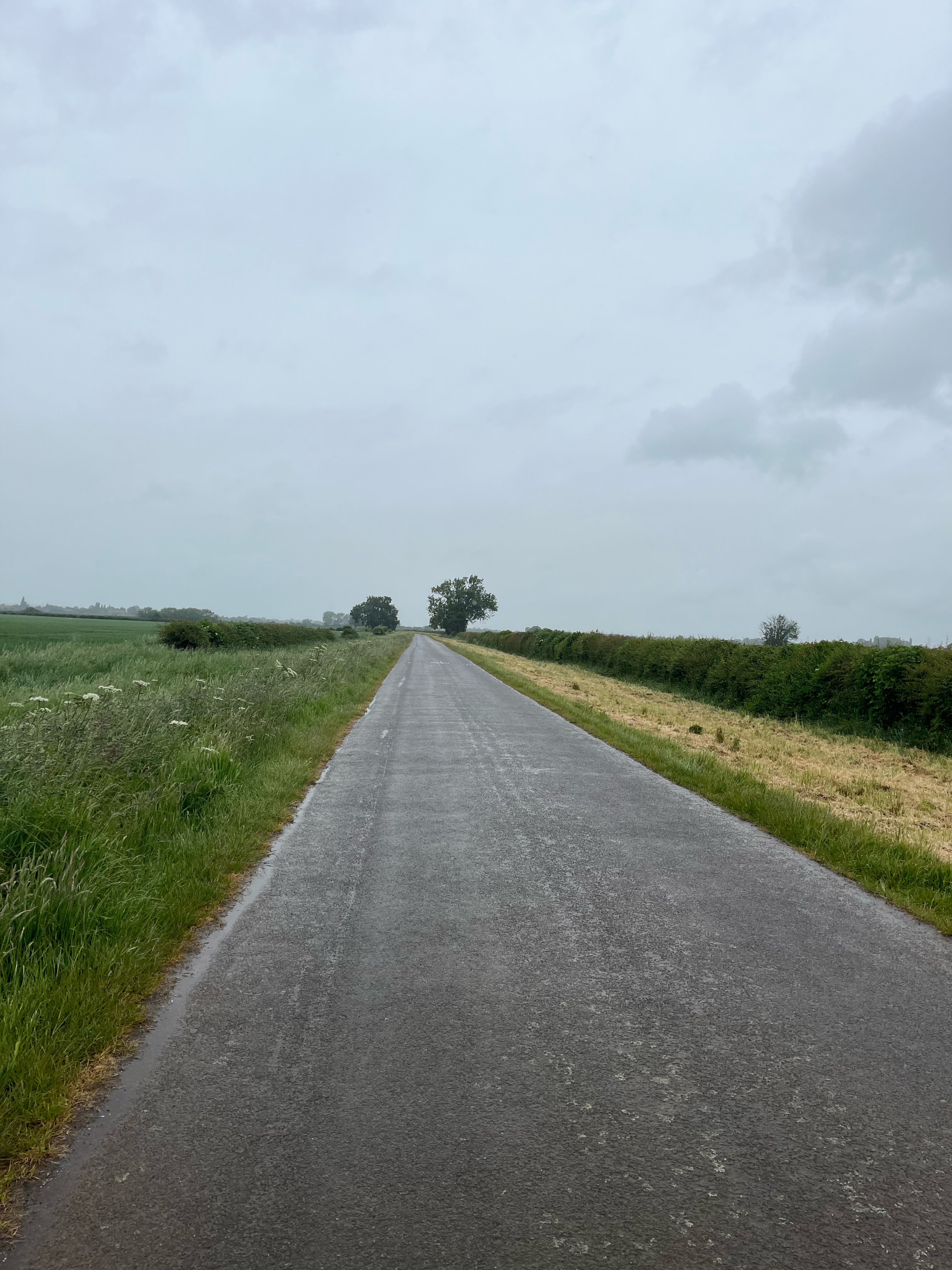
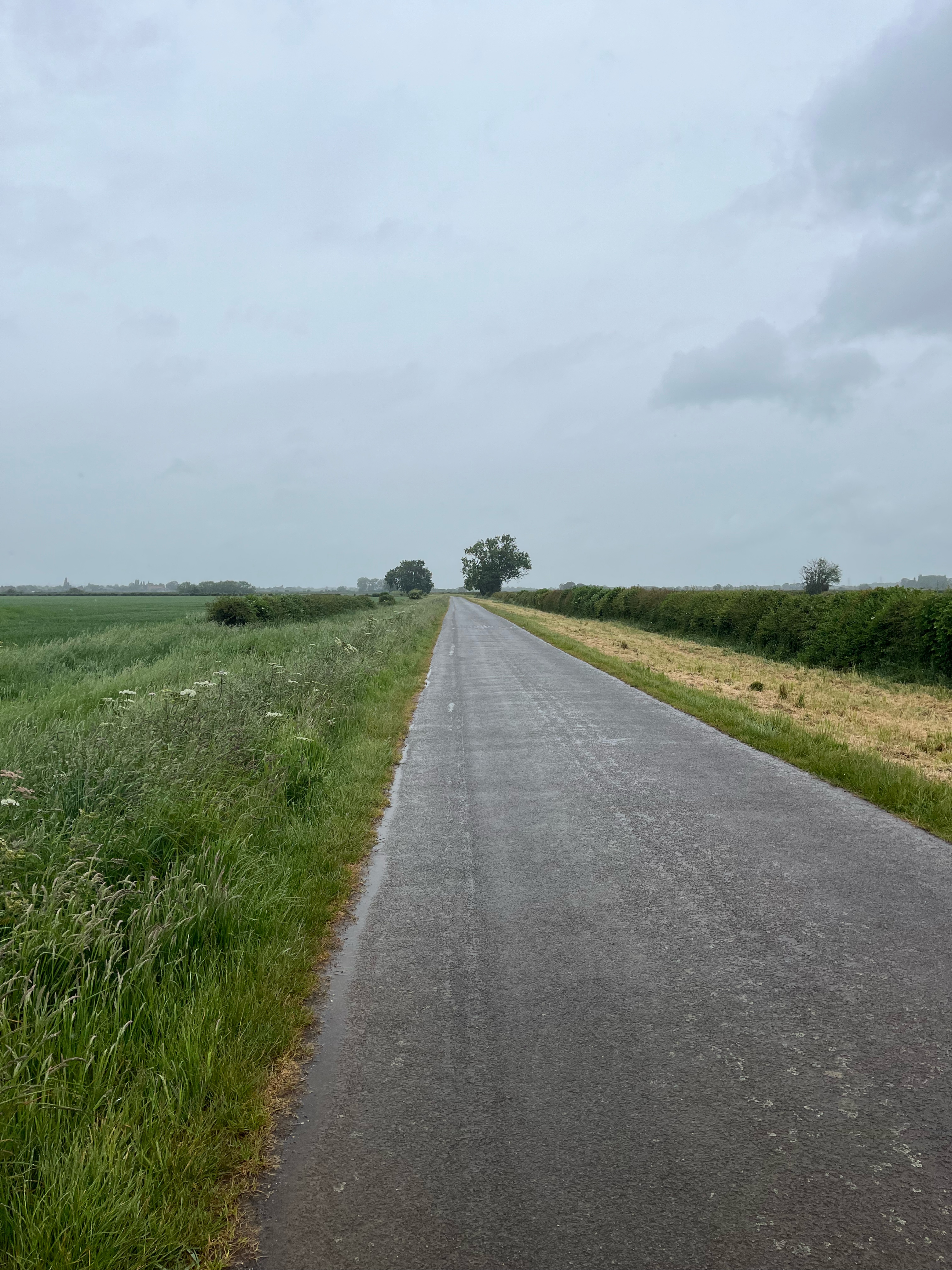
Trasa rowerowa w Newark on Trent, Anglia, Zjednoczone Królestwo Wielkiej Brytanii
Trasa rowerowa w Newark on Trent, Anglia, Zjednoczone Królestwo Wielkiej Brytanii