

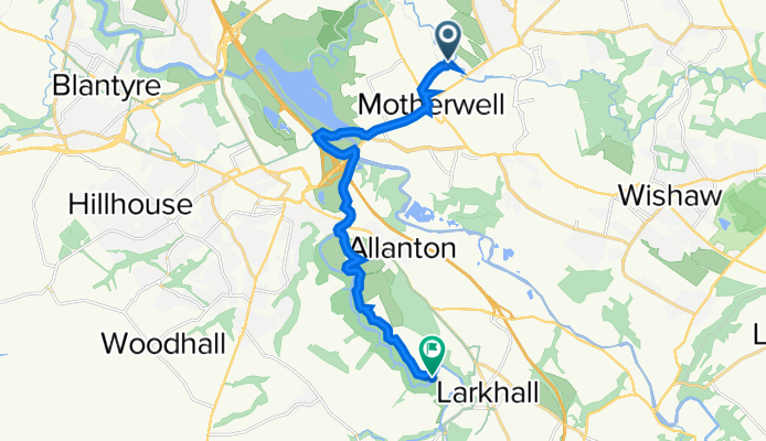

Prospect Hill Road 6 to Merry Street 545
- 3,4 km
- 36 m
- 32 m
- Motherwell, Szkocja, Zjednoczone Królestwo Wielkiej Brytanii

Znajdź odpowiednią trasę rowerową dla siebie w Motherwell – mamy tam 134 tras do odkrycia. Większość osób wybiera się tutaj na rower w miesiącach Kwiecień i Sierpień.
Zarejestrowany dystans
Trasy rowerowe
Populacja
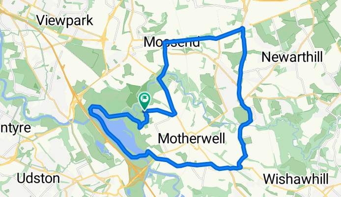
Trasa rowerowa w Motherwell, Szkocja, Zjednoczone Królestwo Wielkiej Brytanii
Trasa rowerowa w Motherwell, Szkocja, Zjednoczone Królestwo Wielkiej Brytanii


Trasa rowerowa w Motherwell, Szkocja, Zjednoczone Królestwo Wielkiej Brytanii
Trasa rowerowa w Motherwell, Szkocja, Zjednoczone Królestwo Wielkiej Brytanii


