stanwick lakes
- 6,7 km
- 425 m
- 473 m
- Higham Ferrers, Anglia, Zjednoczone Królestwo Wielkiej Brytanii

Odkrywaj mapę z 34 trasami rowerowymi i szlakami w pobliżu Higham Ferrers, stworzonymi przez naszą społeczność.
Portret regionu
Znajdź odpowiednią trasę rowerową dla siebie w Higham Ferrers – mamy tam 34 tras do odkrycia. Większość osób wybiera się tutaj na rower w miesiącu Lipiec.
948 km
Zarejestrowany dystans
34
Trasy rowerowe
6222
Populacja
Wspólnota
Od naszej społeczności
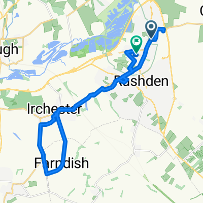
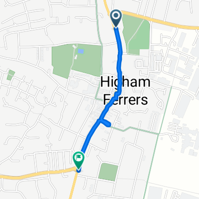
Trasa rowerowa w Higham Ferrers, Anglia, Zjednoczone Królestwo Wielkiej Brytanii
Trasa rowerowa w Higham Ferrers, Anglia, Zjednoczone Królestwo Wielkiej Brytanii
Trasa rowerowa w Higham Ferrers, Anglia, Zjednoczone Królestwo Wielkiej Brytanii
Trasa rowerowa w Higham Ferrers, Anglia, Zjednoczone Królestwo Wielkiej Brytanii