Bovey Tracey na rowerze
Odkrywaj mapę z 202 trasami rowerowymi i szlakami w pobliżu Bovey Tracey, stworzonymi przez naszą społeczność.
Portret regionu
Poznaj Bovey Tracey
Znajdź odpowiednią trasę rowerową dla siebie w Bovey Tracey – mamy tam 202 tras do odkrycia. Większość osób wybiera się tutaj na rower w miesiącach Lipiec i Wrzesień.
7560 km
Zarejestrowany dystans
202
Trasy rowerowe
4615
Populacja
Wspólnota
Najaktywniejsi użytkownicy w Bovey Tracey
Od naszej społeczności
Najlepsze trasy rowerowe w Bovey Tracey i okolicach
Haytor Loop
Trasa rowerowa w Bovey Tracey, Anglia, Zjednoczone Królestwo Wielkiej Brytanii
- 47,8 km
- Dystans
- 722 m
- Przewyższenia
- 721 m
- Spadek
Dartmoor
Trasa rowerowa w Bovey Tracey, Anglia, Zjednoczone Królestwo Wielkiej Brytanii
- 31,1 km
- Dystans
- 580 m
- Przewyższenia
- 580 m
- Spadek
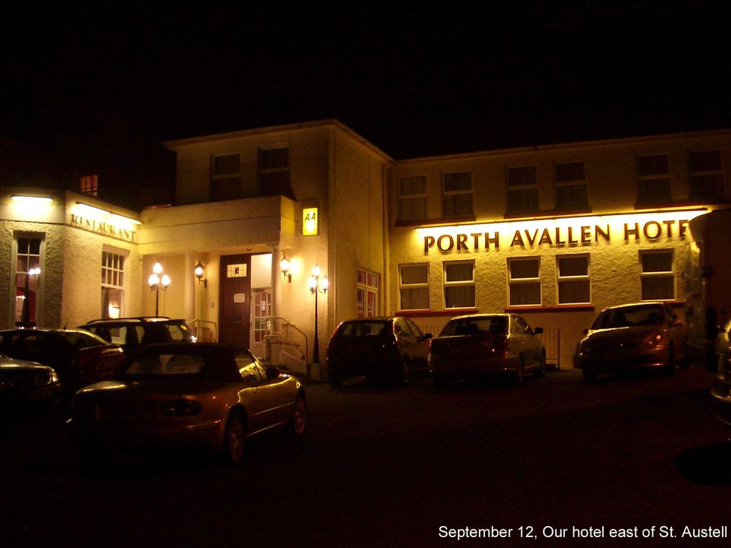
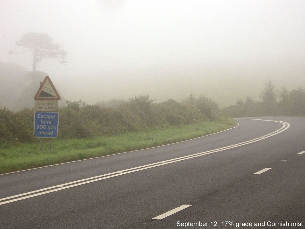
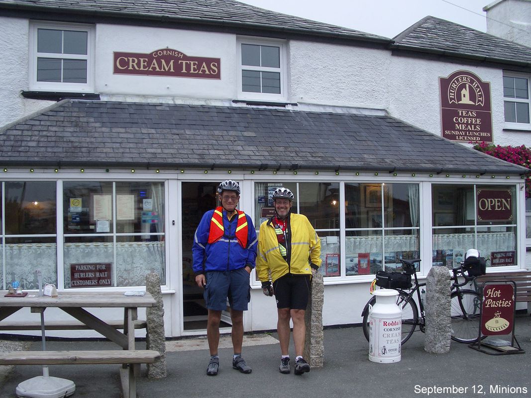
Day 12, 67 miles from Moretonhamstead to Carlyon Bay
Trasa rowerowa w Bovey Tracey, Anglia, Zjednoczone Królestwo Wielkiej Brytanii
- 106,9 km
- Dystans
- 1707 m
- Przewyższenia
- 1848 m
- Spadek
Haytor - Okehampton circular route
Trasa rowerowa w Bovey Tracey, Anglia, Zjednoczone Królestwo Wielkiej Brytanii
- 111,3 km
- Dystans
- 1556 m
- Przewyższenia
- 1756 m
- Spadek
Odkryj więcej tras
 Pound Street 36, Moretonhampstead to Primrose Drive 46
- Dystans
- 23,8 km
- Przewyższenia
- 90 m
- Spadek
- 244 m
- Lokalizacja
- Bovey Tracey, Anglia, Zjednoczone Królestwo Wielkiej Brytanii
 Dartmoor Hills
- Dystans
- 95,8 km
- Przewyższenia
- 2184 m
- Spadek
- 2140 m
- Lokalizacja
- Bovey Tracey, Anglia, Zjednoczone Królestwo Wielkiej Brytanii
 POSSIBLE 2ND DARTMOOR (START BOVEY TRACEY)
- Dystans
- 55,3 km
- Przewyższenia
- 805 m
- Spadek
- 806 m
- Lokalizacja
- Bovey Tracey, Anglia, Zjednoczone Królestwo Wielkiej Brytanii
 Moretonhampstead-Lakes
- Dystans
- 24,9 km
- Przewyższenia
- 465 m
- Spadek
- 465 m
- Lokalizacja
- Bovey Tracey, Anglia, Zjednoczone Królestwo Wielkiej Brytanii
 Swallow Barn, Newton Abbot to Centenary Way, Newton Abbot
- Dystans
- 3,2 km
- Przewyższenia
- 10 m
- Spadek
- 13 m
- Lokalizacja
- Bovey Tracey, Anglia, Zjednoczone Królestwo Wielkiej Brytanii
 Circular route Bovey Tracey to Widecombe & back
- Dystans
- 30,2 km
- Przewyższenia
- 531 m
- Spadek
- 526 m
- Lokalizacja
- Bovey Tracey, Anglia, Zjednoczone Królestwo Wielkiej Brytanii
 Circular route. Bovey Tracey to Hound Tor & back.
- Dystans
- 27,8 km
- Przewyższenia
- 457 m
- Spadek
- 451 m
- Lokalizacja
- Bovey Tracey, Anglia, Zjednoczone Królestwo Wielkiej Brytanii
 Wray Valley Trail
- Dystans
- 11,4 km
- Przewyższenia
- 214 m
- Spadek
- 35 m
- Lokalizacja
- Bovey Tracey, Anglia, Zjednoczone Królestwo Wielkiej Brytanii


