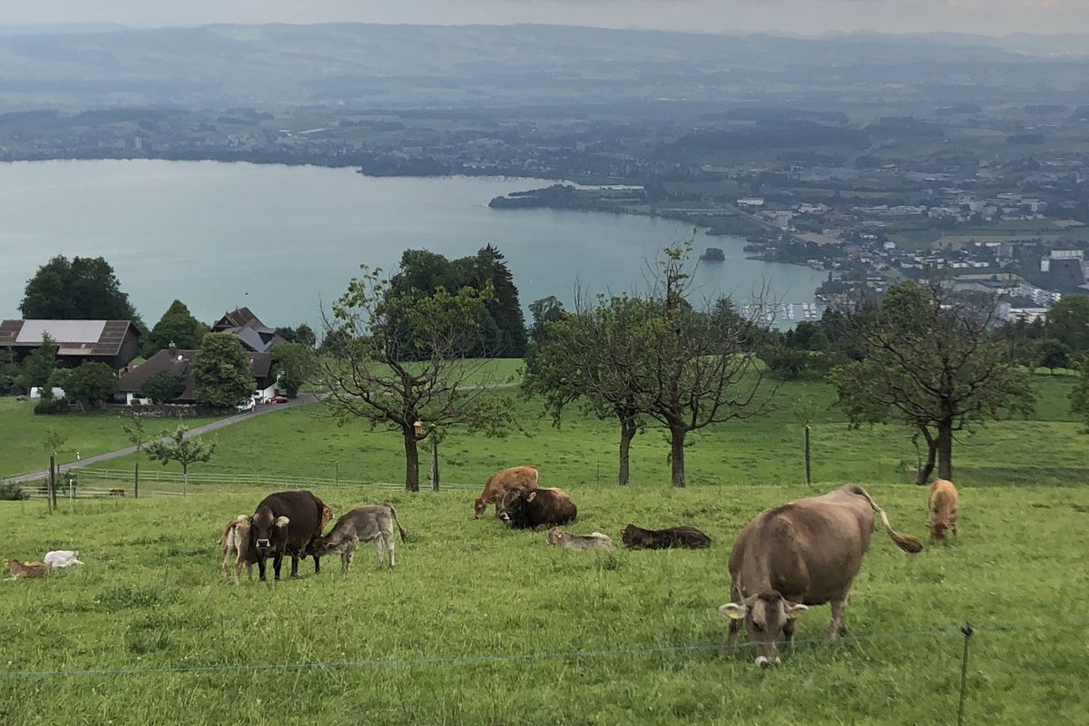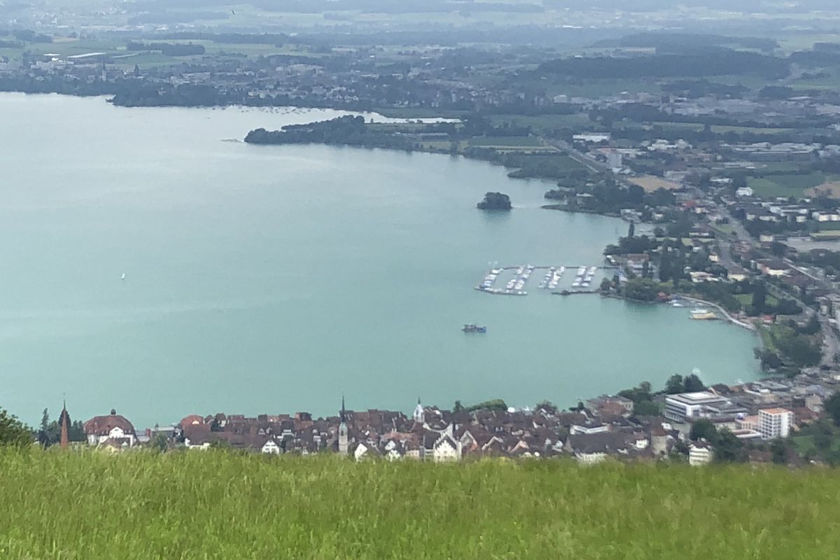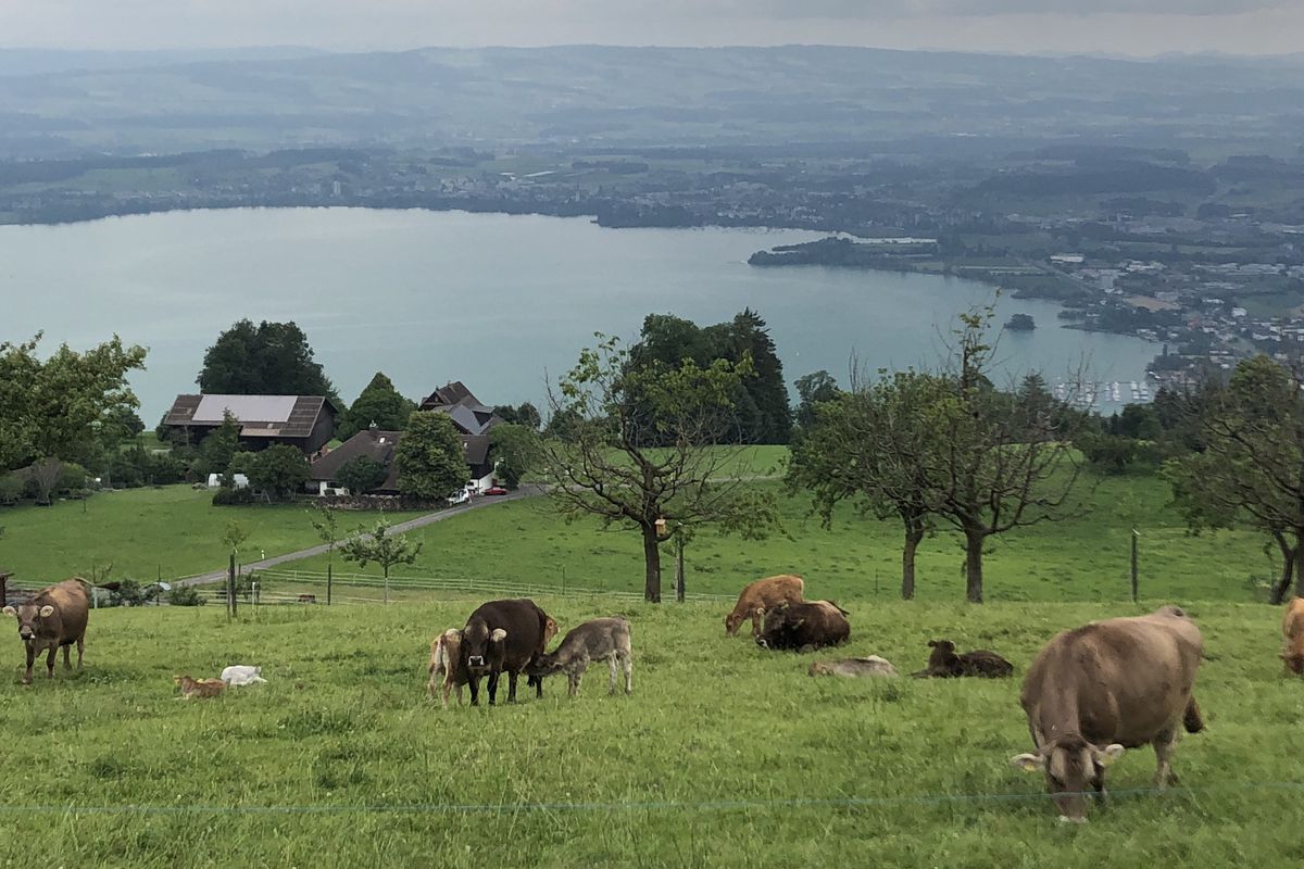
Zug na rowerze
Odkrywaj mapę z 1049 trasami rowerowymi i szlakami w pobliżu Zug, stworzonymi przez naszą społeczność.
Portret regionu
Poznaj Zug
Znajdź odpowiednią trasę rowerową dla siebie w Zug – mamy tam 1 049 tras do odkrycia. Większość osób wybiera się tutaj na rower w miesiącach Kwiecień i Maj.
52 640 km
Zarejestrowany dystans
1049
Trasy rowerowe
23 435
Populacja
Wspólnota
Najaktywniejsi użytkownicy w Zug
Starannie wybrane trasy
Odkryj Zug dzięki tym kolekcjom
Wycieczka
Od naszej społeczności
Najlepsze trasy rowerowe w Zug i okolicach
Lengthy Sunday Route In Zug
Trasa rowerowa w Zug, Zug, Szwajcaria
- 13,8 km
- Dystans
- 769 m
- Przewyższenia
- 770 m
- Spadek
Zug - Around the Rigi - Zug
Trasa rowerowa w Zug, Zug, Szwajcaria
- 80,7 km
- Dystans
- 687 m
- Przewyższenia
- 684 m
- Spadek
Zug - Albishorn - Affoltern - Zug
Trasa rowerowa w Zug, Zug, Szwajcaria
- 45,4 km
- Dystans
- 735 m
- Przewyższenia
- 734 m
- Spadek
Odkryj więcej tras
 Route to Seestrasse 2, 6300 Zug
- Dystans
- 37,5 km
- Przewyższenia
- 293 m
- Spadek
- 296 m
- Lokalizacja
- Zug, Zug, Szwajcaria
 Zug - Schweikhof retour
- Dystans
- 23,1 km
- Przewyższenia
- 337 m
- Spadek
- 338 m
- Lokalizacja
- Zug, Zug, Szwajcaria
 Zug-Rigi Rund
- Dystans
- 78,3 km
- Przewyższenia
- 548 m
- Spadek
- 554 m
- Lokalizacja
- Zug, Zug, Szwajcaria
 Zugersee Training
- Dystans
- 36,5 km
- Przewyższenia
- 273 m
- Spadek
- 275 m
- Lokalizacja
- Zug, Zug, Szwajcaria
 Um den Zugersee 38Km
- Dystans
- 37,8 km
- Przewyższenia
- 163 m
- Spadek
- 170 m
- Lokalizacja
- Zug, Zug, Szwajcaria
 Zugerberg
- Dystans
- 14,9 km
- Przewyższenia
- 559 m
- Spadek
- 556 m
- Lokalizacja
- Zug, Zug, Szwajcaria
 Zugerberg Up+Down
- Dystans
- 15,2 km
- Przewyższenia
- 595 m
- Spadek
- 595 m
- Lokalizacja
- Zug, Zug, Szwajcaria
 Wildspitz Mit Downhill Ürzlebode
- Dystans
- 46,3 km
- Przewyższenia
- 1199 m
- Spadek
- 1196 m
- Lokalizacja
- Zug, Zug, Szwajcaria
Trasy z Zug
Jednodniowa wycieczka rowerowa od
Z Zug do Lucerna


