Szwajcaria na rowerze
Odkrywaj mapę z 229 343 trasami rowerowymi i szlakami w Szwajcaria, stworzonymi przez naszą społeczność.
Portret regionu
Poznaj Szwajcaria
Znajdź odpowiednią trasę rowerową dla siebie w Szwajcaria – mamy tam 229 343 tras do odkrycia. Większość osób wybiera się tutaj na rower w miesiącach Czerwiec i Lipiec.
15 691 425 km
Zarejestrowany dystans
229 343
Trasy rowerowe
7,6 milionów
Populacja
Wspólnota
Najaktywniejsi użytkownicy w Szwajcaria
Starannie wybrane trasy
Odkryj Szwajcaria dzięki tym kolekcjom
Wycieczka
Od naszej społeczności
Najlepsze trasy rowerowe w Szwajcaria
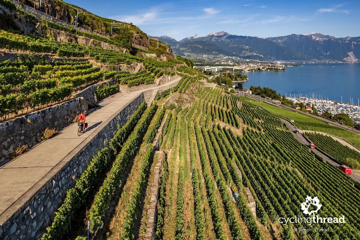
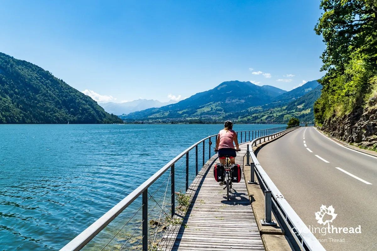
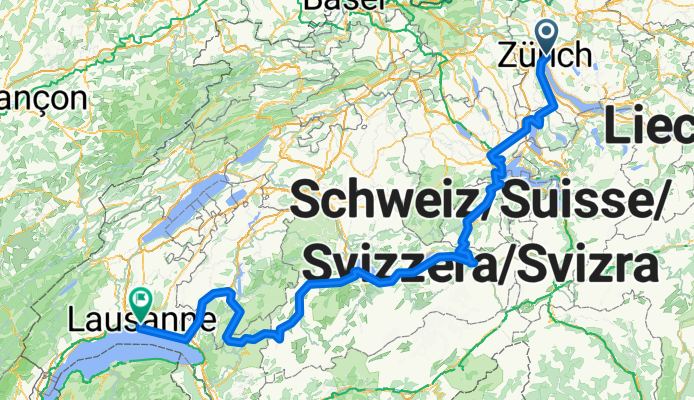
Lakes Route - Zurich to Lausanne
Trasa rowerowa w Zürich (Kreis 6) / Oberstrass, Zurych, Szwajcaria
- 341,3 km
- Dystans
- 5957 m
- Przewyższenia
- 5992 m
- Spadek
Wies, Speicher nach Unterschlatt, Appenzell Schlatt
Trasa rowerowa w Speicher, Appenzell Ausserrhoden, Szwajcaria
- 14,1 km
- Dystans
- 233 m
- Przewyższenia
- 353 m
- Spadek
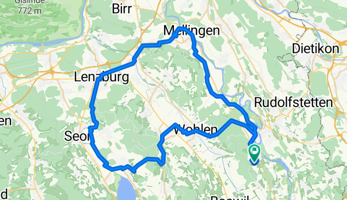
Bremgarten-Mellingen-Lenzburg-Seengen-Bremgarten
Trasa rowerowa w Bremgarten, Argowia, Szwajcaria
- 53,7 km
- Dystans
- 688 m
- Przewyższenia
- 700 m
- Spadek
Unterschlatt, Appenzell Schlatt nach Wies, Speicher
Trasa rowerowa w Haslen, Appenzell Innerrhoden, Szwajcaria
- 29 km
- Dystans
- 657 m
- Przewyższenia
- 528 m
- Spadek
Odkryj więcej tras
 Frachtstrasse to Salzkottener Straße
- Dystans
- 797,7 km
- Przewyższenia
- 11 746 m
- Spadek
- 12 103 m
- Lokalizacja
- Kloten / Holberg, Zurych, Szwajcaria
 Via Spuondas, St. Moritz nach Via Roticcio, Vicosoprano
- Dystans
- 37,1 km
- Przewyższenia
- 435 m
- Spadek
- 1151 m
- Lokalizacja
- Silvaplana, Gryzonia, Szwajcaria
 Flughafenstrasse to Flughafenstraße
- Dystans
- 569 km
- Przewyższenia
- 9237 m
- Spadek
- 10 364 m
- Lokalizacja
- Kloten / Holberg, Zurych, Szwajcaria
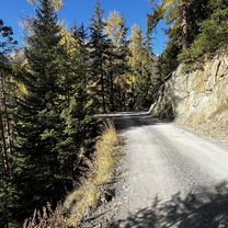 Sur Prassuoir, Lavin nach Via Spuondas, St. Moritz
- Dystans
- 52,1 km
- Przewyższenia
- 916 m
- Spadek
- 529 m
- Lokalizacja
- Zernez, Gryzonia, Szwajcaria
 De Place du Château à Rue de l'Industrie
- Dystans
- 36 km
- Przewyższenia
- 545 m
- Spadek
- 700 m
- Lokalizacja
- Vallorbe, Vaud, Szwajcaria
 Dorfplatz, Sarnen nach Bahnhofstrasse, Meiringen
- Dystans
- 33,7 km
- Przewyższenia
- 803 m
- Spadek
- 675 m
- Lokalizacja
- Sarnen, Obwalden, Szwajcaria
 bviuztegj
- Dystans
- 50,9 km
- Przewyższenia
- 886 m
- Spadek
- 907 m
- Lokalizacja
- Dietikon / Almend, Zurych, Szwajcaria
 Lange Radrunde durch Plaffeien
- Dystans
- 37,1 km
- Przewyższenia
- 930 m
- Spadek
- 930 m
- Lokalizacja
- Oberschrot, Fryburg, Szwajcaria
Zobacz, gdzie ludzie jeżdżą na rowerze w Szwajcaria
Popularne regiony do jazdy na rowerze w Szwajcaria


