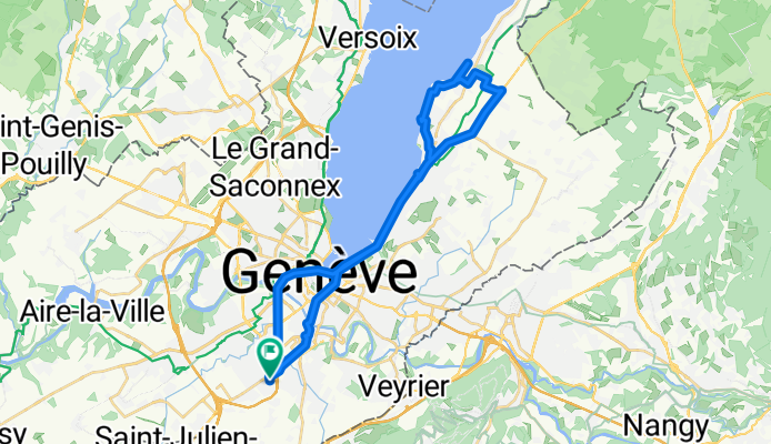
Plan-les-Ouates na rowerze
Odkrywaj mapę z 289 trasami rowerowymi i szlakami w pobliżu Plan-les-Ouates, stworzonymi przez naszą społeczność.
Portret regionu
Poznaj Plan-les-Ouates
Znajdź odpowiednią trasę rowerową dla siebie w Plan-les-Ouates – mamy tam 289 tras do odkrycia. Większość osób wybiera się tutaj na rower w miesiącach Maj i Sierpień.
12 988 km
Zarejestrowany dystans
289
Trasy rowerowe
10 540
Populacja
Wspólnota
Najaktywniejsi użytkownicy w Plan-les-Ouates
Starannie wybrane trasy
Odkryj Plan-les-Ouates dzięki tym kolekcjom
Wycieczka
Wycieczka
Od naszej społeczności
Najlepsze trasy rowerowe w Plan-les-Ouates i okolicach
Tour du Canton GE - 25.09.2010
Trasa rowerowa w Plan-les-Ouates, Genewa, Szwajcaria
- 54,6 km
- Dystans
- 459 m
- Przewyższenia
- 459 m
- Spadek
TALPO 1
Trasa rowerowa w Plan-les-Ouates, Genewa, Szwajcaria
- 71,2 km
- Dystans
- 360 m
- Przewyższenia
- 360 m
- Spadek
Salève Pitons
Trasa rowerowa w Plan-les-Ouates, Genewa, Szwajcaria
- 46,5 km
- Dystans
- 1015 m
- Przewyższenia
- 1024 m
- Spadek
Chemin de la Milice, Plan-les-Ouates à Route du Camp, Plan-les-Ouates
Trasa rowerowa w Plan-les-Ouates, Genewa, Szwajcaria
- 34,5 km
- Dystans
- 201 m
- Przewyższenia
- 199 m
- Spadek
Odkryj więcej tras
 Col De Saxel From PLO
- Dystans
- 64 km
- Przewyższenia
- 905 m
- Spadek
- 905 m
- Lokalizacja
- Plan-les-Ouates, Genewa, Szwajcaria
 Tours du Vuach
- Dystans
- 74,8 km
- Przewyższenia
- 727 m
- Spadek
- 724 m
- Lokalizacja
- Plan-les-Ouates, Genewa, Szwajcaria
 Variant On Tour Du Vuache (Bower)
- Dystans
- 74,3 km
- Przewyższenia
- 674 m
- Spadek
- 673 m
- Lokalizacja
- Plan-les-Ouates, Genewa, Szwajcaria
 Romontschia 1
- Dystans
- 531 km
- Przewyższenia
- 5029 m
- Spadek
- 5349 m
- Lokalizacja
- Plan-les-Ouates, Genewa, Szwajcaria
 De Route du Vélodrome 22, Plan-les-Ouates à Route du Vélodrome 22, Plan-les-Ouates
- Dystans
- 101,8 km
- Przewyższenia
- 553 m
- Spadek
- 551 m
- Lokalizacja
- Plan-les-Ouates, Genewa, Szwajcaria
 Col de la Faucille, Valserine, Fort Ecluse ,PLO
- Dystans
- 107,8 km
- Przewyższenia
- 1302 m
- Spadek
- 1298 m
- Lokalizacja
- Plan-les-Ouates, Genewa, Szwajcaria
 palettes-ups
- Dystans
- 10,8 km
- Przewyższenia
- 99 m
- Spadek
- 70 m
- Lokalizacja
- Plan-les-Ouates, Genewa, Szwajcaria
 De Route du Vélodrome 54, Plan-les-Ouates à Route du Vélodrome 26, Plan-les-Ouates
- Dystans
- 94 km
- Przewyższenia
- 621 m
- Spadek
- 617 m
- Lokalizacja
- Plan-les-Ouates, Genewa, Szwajcaria
Trasy z Plan-les-Ouates
Jednodniowa wycieczka rowerowa od
Z Plan-les-Ouates do Cranves-Sales


