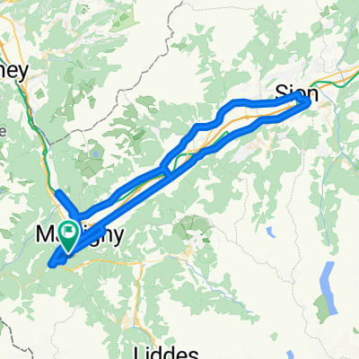
Martigny-Combe na rowerze
Odkrywaj mapę z 174 trasami rowerowymi i szlakami w pobliżu Martigny-Combe, stworzonymi przez naszą społeczność.
Portret regionu
Poznaj Martigny-Combe
Znajdź odpowiednią trasę rowerową dla siebie w Martigny-Combe – mamy tam 174 tras do odkrycia. Większość osób wybiera się tutaj na rower w miesiącach Czerwiec i Sierpień.
19 386 km
Zarejestrowany dystans
174
Trasy rowerowe
1731
Populacja
Wspólnota
Najaktywniejsi użytkownicy w Martigny-Combe
Starannie wybrane trasy
Odkryj Martigny-Combe dzięki tym kolekcjom
Wycieczka
Wycieczka
Od naszej społeczności
Najlepsze trasy rowerowe w Martigny-Combe i okolicach
Tour de France 2009, Etappe 16 - 159,0 km
Trasa rowerowa w Martigny-Combe, Valais, Szwajcaria
- 158,8 km
- Dystans
- 4155 m
- Przewyższenia
- 3153 m
- Spadek
Trevor - Champex and Planche
Trasa rowerowa w Martigny-Combe, Valais, Szwajcaria
- 51,3 km
- Dystans
- 1740 m
- Przewyższenia
- 1740 m
- Spadek
Startup Route des Grandes Alpes
Trasa rowerowa w Martigny-Combe, Valais, Szwajcaria
- 40 km
- Dystans
- 1360 m
- Przewyższenia
- 834 m
- Spadek
WA_4_Forclaz_Martigny_VEVEY
Trasa rowerowa w Martigny-Combe, Valais, Szwajcaria
- 71,3 km
- Dystans
- 103 m
- Przewyższenia
- 1225 m
- Spadek
Odkryj więcej tras
 MontBlancTour5Tag
- Dystans
- 14 km
- Przewyższenia
- 1107 m
- Spadek
- 935 m
- Lokalizacja
- Martigny-Combe, Valais, Szwajcaria
 Route de la Forclaz, Martigny-Croix nach Chemin du Glacier de Taconnaz, Chamonix-Mont-Blanc
- Dystans
- 35,6 km
- Przewyższenia
- 658 m
- Spadek
- 964 m
- Lokalizacja
- Martigny-Combe, Valais, Szwajcaria
 VTT MONT BLANC Vllorcine Albertville
- Dystans
- 432,8 km
- Przewyższenia
- 8172 m
- Spadek
- 8462 m
- Lokalizacja
- Martigny-Combe, Valais, Szwajcaria
 2017 ALPS Etapa 7 - Le Grand St Bernanrd
- Dystans
- 108,8 km
- Przewyższenia
- 2888 m
- Spadek
- 2896 m
- Lokalizacja
- Martigny-Combe, Valais, Szwajcaria
 Champex and Val Ferret
- Dystans
- 62,9 km
- Przewyższenia
- 1722 m
- Spadek
- 1722 m
- Lokalizacja
- Martigny-Combe, Valais, Szwajcaria
 Trevor Big Ride route
- Dystans
- 60,7 km
- Przewyższenia
- 2167 m
- Spadek
- 2167 m
- Lokalizacja
- Martigny-Combe, Valais, Szwajcaria
 Trevor Base Route
- Dystans
- 93,3 km
- Przewyższenia
- 715 m
- Spadek
- 715 m
- Lokalizacja
- Martigny-Combe, Valais, Szwajcaria
 Trevor - Planche loop up the steep side
- Dystans
- 29,2 km
- Przewyższenia
- 931 m
- Spadek
- 931 m
- Lokalizacja
- Martigny-Combe, Valais, Szwajcaria


