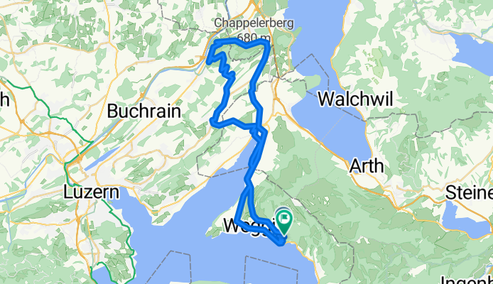
- 90,2 km
- 881 m
- 1048 m
- Sempach, Lucerna, Szwajcaria

Lucerna na rowerze
Odkrywaj mapę z 9179 trasami rowerowymi i szlakami w Lucerna, stworzonymi przez naszą społeczność.
Portret regionu
Poznaj Lucerna
Znajdź odpowiednią trasę rowerową dla siebie w Lucerna – mamy tam 9 179 tras do odkrycia. Większość osób wybiera się tutaj na rower w miesiącach Maj i Lipiec.
563 694 km
Zarejestrowany dystans
9179
Trasy rowerowe
Wspólnota
Najaktywniejsi użytkownicy w Lucerna
Starannie wybrane trasy
Odkryj Lucerna dzięki tym kolekcjom
- Wycieczka
- Wycieczka
- Wycieczka
Od naszej społeczności
Najlepsze trasy rowerowe w Lucerna
Moderate Route
Trasa rowerowa w Weggis, Lucerna, Szwajcaria
- 42,9 km
- Dystans
- 1090 m
- Przewyższenia
- 1182 m
- Spadek
Melchsee+Ächerlipass
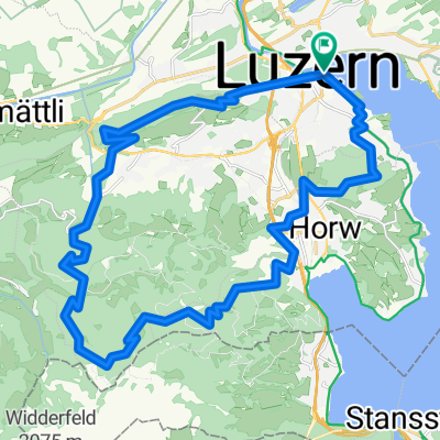
Trasa rowerowa w Horw, Lucerna, Szwajcaria
- 79,1 km
- Dystans
- 1542 m
- Przewyższenia
- 1542 m
- Spadek
Oberkirch Cycling
Trasa rowerowa w Oberkirch, Lucerna, Szwajcaria
- 18,9 km
- Dystans
- 33 m
- Przewyższenia
- 27 m
- Spadek
Garmin FENIX7S PRO SOLAR®
Odkryj więcej tras
- TTCH_08
- Gufferiweg nach Kulmweg
- 12,7 km
- 1580 m
- 287 m
- Weggis, Lucerna, Szwajcaria
- Gufferiweg nach Rigi Kulm
- 12,6 km
- 1580 m
- 287 m
- Weggis, Lucerna, Szwajcaria
- Fräki
- 32 km
- 1247 m
- 1245 m
- Lucerna, Lucerna, Szwajcaria
- Langsame Fahrt in Schötz
- 35,4 km
- 420 m
- 362 m
- Schötz, Lucerna, Szwajcaria
- Rundereise 20170510
- 81,1 km
- 369 m
- 369 m
- Buchrain, Lucerna, Szwajcaria
- Schutz, Grosswangen nach Schutz, Grosswangen
- 33,4 km
- 416 m
- 413 m
- Grosswangen, Lucerna, Szwajcaria
- From Lucerne to Bellinzona
- 188,3 km
- 5372 m
- 5592 m
- Lucerna, Lucerna, Szwajcaria
Regiony rowerowe w Lucerna
Zobacz, gdzie ludzie jeżdżą na rowerze w Szwajcaria


