
Pottenstein na rowerze
Odkrywaj mapę z 424 trasami rowerowymi i szlakami w pobliżu Pottenstein, stworzonymi przez naszą społeczność.
Portret regionu
Poznaj Pottenstein
Znajdź odpowiednią trasę rowerową dla siebie w Pottenstein – mamy tam 424 tras do odkrycia. Większość osób wybiera się tutaj na rower w miesiącach Czerwiec i Sierpień.
15 545 km
Zarejestrowany dystans
424
Trasy rowerowe
5501
Populacja
Wspólnota
Najaktywniejsi użytkownicy w Pottenstein


Starannie wybrane trasy
Odkryj Pottenstein dzięki tym kolekcjom
Wycieczka
Od naszej społeczności
Najlepsze trasy rowerowe w Pottenstein i okolicach

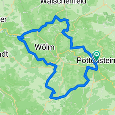
Unterwegs_Püttlachtal
Trasa rowerowa w Pottenstein, Bawaria, Niemcy
- 27,4 km
- Dystans
- 562 m
- Przewyższenia
- 563 m
- Spadek

Püttlachtal_zur_Hohenmirsberger_Platte_BT13
Trasa rowerowa w Pottenstein, Bawaria, Niemcy
- 21,6 km
- Dystans
- 422 m
- Przewyższenia
- 422 m
- Spadek

pottenstein_hohenmirsberg_schneiderloch_hasslach
Trasa rowerowa w Pottenstein, Bawaria, Niemcy
- 23 km
- Dystans
- 483 m
- Przewyższenia
- 497 m
- Spadek

Dolomitsteilwände, Grotten und Höhlen
Trasa rowerowa w Pottenstein, Bawaria, Niemcy
- 15,9 km
- Dystans
- 341 m
- Przewyższenia
- 338 m
- Spadek
Odkryj więcej tras
 Vorschlag 2
- Dystans
- 46,1 km
- Przewyższenia
- 642 m
- Spadek
- 644 m
- Lokalizacja
- Pottenstein, Bawaria, Niemcy
 Pottenstein -> Erlangen (Rücktour) - Samstag 29.08.09
- Dystans
- 53,3 km
- Przewyższenia
- 505 m
- Spadek
- 682 m
- Lokalizacja
- Pottenstein, Bawaria, Niemcy
 Schiem-a-no.de: Tour2/Pottenstein – Weiße Marter
- Dystans
- 39,1 km
- Przewyższenia
- 618 m
- Spadek
- 620 m
- Lokalizacja
- Pottenstein, Bawaria, Niemcy
 KleinePot Pottenstein
- Dystans
- 18,1 km
- Przewyższenia
- 352 m
- Spadek
- 350 m
- Lokalizacja
- Pottenstein, Bawaria, Niemcy
 Pottenstein-Waldcafe-Aussichtsturm
- Dystans
- 7,3 km
- Przewyższenia
- 206 m
- Spadek
- 209 m
- Lokalizacja
- Pottenstein, Bawaria, Niemcy
 Pottenstein mtb
- Dystans
- 36,8 km
- Przewyższenia
- 684 m
- Spadek
- 692 m
- Lokalizacja
- Pottenstein, Bawaria, Niemcy
 Mehrtagestour Fränkische Schweiz 4.Tag
- Dystans
- 42,2 km
- Przewyższenia
- 823 m
- Spadek
- 822 m
- Lokalizacja
- Pottenstein, Bawaria, Niemcy
 St2163 nach Bernheck
- Dystans
- 16,2 km
- Przewyższenia
- 360 m
- Spadek
- 356 m
- Lokalizacja
- Pottenstein, Bawaria, Niemcy