Märkisches Viertel na rowerze
Odkrywaj mapę z 383 trasami rowerowymi i szlakami w pobliżu Märkisches Viertel, stworzonymi przez naszą społeczność.
Portret regionu
Poznaj Märkisches Viertel
Znajdź odpowiednią trasę rowerową dla siebie w Märkisches Viertel – mamy tam 383 tras do odkrycia. Większość osób wybiera się tutaj na rower w miesiącach Maj i Czerwiec.
7563 km
Zarejestrowany dystans
383
Trasy rowerowe
35 230
Populacja
Wspólnota
Najaktywniejsi użytkownicy w Märkisches Viertel
Od naszej społeczności
Najlepsze trasy rowerowe w Märkisches Viertel i okolicach
Bagger- & Köppchensee
Trasa rowerowa w Märkisches Viertel, Land Berlin, Niemcy
- 16,3 km
- Dystans
- 61 m
- Przewyższenia
- 61 m
- Spadek
👍🏻Vom Mv über Spandau aufs Land nach Seeburg👍🏻
Trasa rowerowa w Märkisches Viertel, Land Berlin, Niemcy
- 23,7 km
- Dystans
- 64 m
- Przewyższenia
- 66 m
- Spadek
Mauerweg / Tegeler Fließ
Trasa rowerowa w Märkisches Viertel, Land Berlin, Niemcy
- 10,9 km
- Dystans
- 46 m
- Przewyższenia
- 54 m
- Spadek
mittenmang, reinickendorf-schöneberg
Trasa rowerowa w Märkisches Viertel, Land Berlin, Niemcy
- 18,1 km
- Dystans
- 29 m
- Przewyższenia
- 37 m
- Spadek
Odkryj więcej tras
 hausrunde, glienicke, schildow,schönfließ
- Dystans
- 23,2 km
- Przewyższenia
- 59 m
- Spadek
- 59 m
- Lokalizacja
- Märkisches Viertel, Land Berlin, Niemcy
 Rund um Lübars
- Dystans
- 12,6 km
- Przewyższenia
- 90 m
- Spadek
- 87 m
- Lokalizacja
- Märkisches Viertel, Land Berlin, Niemcy
 Mauerradweg-Flughafen Tempelhof
- Dystans
- 50 km
- Przewyższenia
- 80 m
- Spadek
- 79 m
- Lokalizacja
- Märkisches Viertel, Land Berlin, Niemcy
 Finsterwalder Straße 16, Berlin nach Markscheiderstraße 30–32, Berlin
- Dystans
- 3,1 km
- Przewyższenia
- 14 m
- Spadek
- 16 m
- Lokalizacja
- Märkisches Viertel, Land Berlin, Niemcy
 Senftenberger Ring 10, Berlin nach Senftenberger Ring 10, Berlin
- Dystans
- 5 km
- Przewyższenia
- 26 m
- Spadek
- 27 m
- Lokalizacja
- Märkisches Viertel, Land Berlin, Niemcy
 Senftenberger Ring 8, Berlin nach Senftenberger Ring 10, Berlin
- Dystans
- 2,2 km
- Przewyższenia
- 0 m
- Spadek
- 0 m
- Lokalizacja
- Märkisches Viertel, Land Berlin, Niemcy
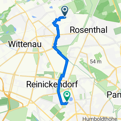 Senftenberger Ring 48, Berlin nach Vierwaldstätter Weg 7, Berlin
- Dystans
- 6,5 km
- Przewyższenia
- 20 m
- Spadek
- 22 m
- Lokalizacja
- Märkisches Viertel, Land Berlin, Niemcy
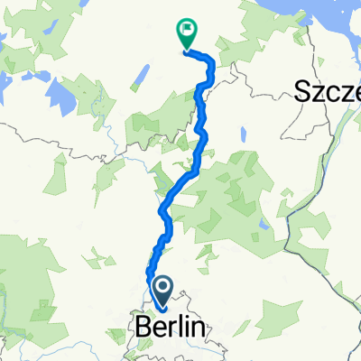 Eichhorster Weg 46–48, Berlin nach Eichhorster Straße 24, Friedland
- Dystans
- 146,9 km
- Przewyższenia
- 732 m
- Spadek
- 711 m
- Lokalizacja
- Märkisches Viertel, Land Berlin, Niemcy


