Tour in die Vergangenheit von Micha und Stefan
- 70,2 km
- 875 m
- 834 m
- Grafengehaig, Bawaria, Niemcy

Odkrywaj mapę z 20 trasami rowerowymi i szlakami w pobliżu Grafengehaig, stworzonymi przez naszą społeczność.
Portret regionu
Znajdź odpowiednią trasę rowerową dla siebie w Grafengehaig – mamy tam 20 tras do odkrycia.
611 km
Zarejestrowany dystans
20
Trasy rowerowe
1026
Populacja
Wspólnota
Od naszej społeczności
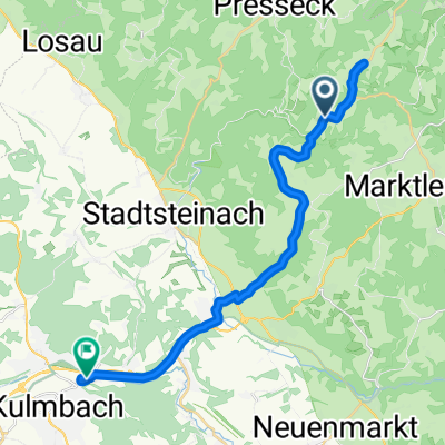
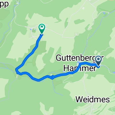
Trasa rowerowa w Grafengehaig, Bawaria, Niemcy
Trasa rowerowa w Grafengehaig, Bawaria, Niemcy
Trasa rowerowa w Grafengehaig, Bawaria, Niemcy