Garrel na rowerze
Odkrywaj mapę z 311 trasami rowerowymi i szlakami w pobliżu Garrel, stworzonymi przez naszą społeczność.
Portret regionu
Poznaj Garrel
Znajdź odpowiednią trasę rowerową dla siebie w Garrel – mamy tam 311 tras do odkrycia. Większość osób wybiera się tutaj na rower w miesiącach Lipiec i Sierpień.
20 047 km
Zarejestrowany dystans
311
Trasy rowerowe
12 273
Populacja
Wspólnota
Najaktywniejsi użytkownicy w Garrel
Od naszej społeczności
Najlepsze trasy rowerowe w Garrel i okolicach
Ahlhorner Teiche 16
Trasa rowerowa w Garrel, Dolna Saksonia, Niemcy
- 16,4 km
- Dystans
- 56 m
- Przewyższenia
- 57 m
- Spadek
Garrel - Entdeckertour mit dem Rad
Trasa rowerowa w Garrel, Dolna Saksonia, Niemcy
- 21,1 km
- Dystans
- 23 m
- Przewyższenia
- 21 m
- Spadek
Alleenroute - Rundtour im Erholungsgebiet Thülsfelder Talsperre
Trasa rowerowa w Garrel, Dolna Saksonia, Niemcy
- 32 km
- Dystans
- 32 m
- Przewyższenia
- 34 m
- Spadek
Odkryj więcej tras
 Am Stausee 10, Friesoythe do Breslauer Straße 5, Garrel
- Dystans
- 36,4 km
- Przewyższenia
- 7 m
- Spadek
- 27 m
- Lokalizacja
- Garrel, Dolna Saksonia, Niemcy
 Thülsfelder Talsperr Tour
- Dystans
- 38,1 km
- Przewyższenia
- 80 m
- Spadek
- 79 m
- Lokalizacja
- Garrel, Dolna Saksonia, Niemcy
 Garrel-Bösel-Edewecht-Petersdorf-Garrel
- Dystans
- 51,6 km
- Przewyższenia
- 32 m
- Spadek
- 32 m
- Lokalizacja
- Garrel, Dolna Saksonia, Niemcy
 Garrel-Athen-Brindisi-Garrel
- Dystans
- 6297,1 km
- Przewyższenia
- 5508 m
- Spadek
- 5508 m
- Lokalizacja
- Garrel, Dolna Saksonia, Niemcy
 Thülsfelder Talsperre - Harriersand
- Dystans
- 78,2 km
- Przewyższenia
- 33 m
- Spadek
- 53 m
- Lokalizacja
- Garrel, Dolna Saksonia, Niemcy
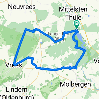
 Thule
Thule- Dystans
- 15,8 km
- Przewyższenia
- 4 m
- Spadek
- 12 m
- Lokalizacja
- Garrel, Dolna Saksonia, Niemcy
 Garrel
- Dystans
- 20,9 km
- Przewyższenia
- 29 m
- Spadek
- 26 m
- Lokalizacja
- Garrel, Dolna Saksonia, Niemcy
 Roslaes Höhe 28, Garrel nach Roslaes Höhe 24, Garrel
- Dystans
- 36 km
- Przewyższenia
- 53 m
- Spadek
- 56 m
- Lokalizacja
- Garrel, Dolna Saksonia, Niemcy


