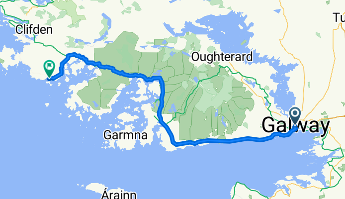
- 58 km
- 411 m
- 439 m
- Clifden, Connacht, Irlandia

Irlandia na rowerze
Odkrywaj mapę z 12 992 trasami rowerowymi i szlakami w Irlandia, stworzonymi przez naszą społeczność.
Portret regionu
Poznaj Irlandia
Ireland is an island nation on Europe’s western border, where there are many wonderful cycling routes that you can explore with the help of the bike route planner. The Republic of Ireland takes up 80 percent of this landmass, while a big part of the country is part of the . Ireland is mainly known for its rows of lush, green fields and rocky cliffs and is also called “the emerald island”. This diverse, slightly hilly landscape makes the island the perfect place for cyclists. You pass mystic ledges, gentle hills and idyllic villages while riding. The interior of the country is rather flat, whereas there are more challenging ascents in the West. Even small elevations offer cyclists beautiful panoramic views of valleys and the sea.
958 918 km
Zarejestrowany dystans
12 992
Trasy rowerowe
4,6 milionów
Populacja
Starannie wybrane trasy
Odkryj Irlandia dzięki tym kolekcjom
- Oficjalny tour
Tralee to Fenit Greenway
3 trasy
- Oficjalny tour
- Oficjalny tour
Grand Canal Greenway
3 trasy
Od naszej społeczności
Najlepsze trasy rowerowe w Irlandia
Saint Patrick's Place to Saint Patrick's Hill
Trasa rowerowa w Cork, Munster, Irlandia
- 8,2 km
- Dystans
- 107 m
- Przewyższenia
- 185 m
- Spadek
Route to Saint Patrick's Hill
Trasa rowerowa w Killumney, Munster, Irlandia
- 18,9 km
- Dystans
- 132 m
- Przewyższenia
- 242 m
- Spadek
Route from Saint Patrick's Hill
Trasa rowerowa w Cork, Munster, Irlandia
- 18,9 km
- Dystans
- 221 m
- Przewyższenia
- 214 m
- Spadek
Route from Headford Road
Trasa rowerowa w Galway, Connacht, Irlandia
- 89,5 km
- Dystans
- 379 m
- Przewyższenia
- 437 m
- Spadek
Odkryj więcej tras
- Dog's Bay to Letterfrack
- Route from MacCurtain Street 33/34
- 44,4 km
- 283 m
- 279 m
- Cork, Munster, Irlandia
- Grosvenor Lodge to Grosvenor Lodge
- 26,4 km
- 576 m
- 636 m
- Rathmines, Leinster, Irlandia
- Dublin to Limerick 2of2 (88 miles)
- 140,6 km
- 1110 m
- 1142 m
- Athlone, Leinster, Irlandia
- Dublin to Limerick 1of2 (84 miles)
- 135,7 km
- 346 m
- 321 m
- Dublin, Leinster, Irlandia
- Donegal - Ballybofey
- 58,3 km
- 621 m
- 546 m
- Donegal, Ulster, Irlandia
- Route from Grosvenor Lodge
- 20,5 km
- 735 m
- 329 m
- Rathmines, Leinster, Irlandia
- Moderate route
- 11,1 km
- 118 m
- 437 m
- Ballyboden, Leinster, Irlandia
Najważniejsze momenty
- The Great Western Greenway is the Republic of Ireland’s longest car-free cycling route and leads from Westport to Achill in the county of Mayo.
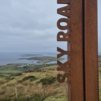
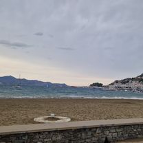
- Discover Ireland’s dramatic coast by bike. Steep cliffs, golden, sandy beaches and rocky headlands provide a wonderful panorama.
Wskazówki
- Drive on the left side like the cars.
- The Irish weather is known to be moody. Clothes-wise, you need to be prepared for all eventualities: A reflecting jacket, a helmet and good lights are recommended.
- Don’t ask the Irish about rainbows, goblins or gold treasures - the joke has gotten old.
Zobacz, gdzie ludzie jeżdżą na rowerze w Irlandia


