
Vitrolles na rowerze
Odkrywaj mapę z 81 trasami rowerowymi i szlakami w pobliżu Vitrolles, stworzonymi przez naszą społeczność.
Portret regionu
Poznaj Vitrolles
Znajdź odpowiednią trasę rowerową dla siebie w Vitrolles – mamy tam 81 tras do odkrycia. Większość osób wybiera się tutaj na rower w miesiącach Kwiecień i Maj.
10 289 km
Zarejestrowany dystans
81
Trasy rowerowe
38 591
Populacja
Wspólnota
Najaktywniejsi użytkownicy w Vitrolles


Od naszej społeczności
Najlepsze trasy rowerowe w Vitrolles i okolicach
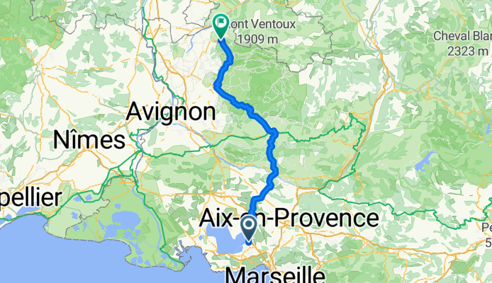
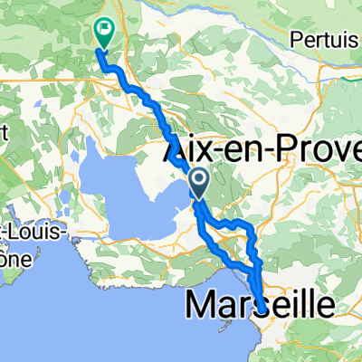
Marseille to Romain
Trasa rowerowa w Vitrolles, Prowansja-Alpy-Lazurowe Wybrzeże, Francja
- 138,3 km
- Dystans
- 1481 m
- Przewyższenia
- 1267 m
- Spadek
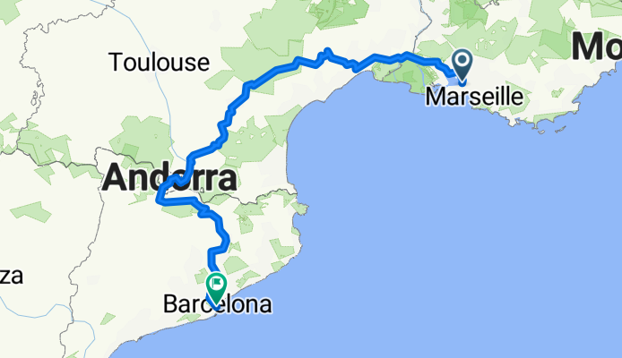
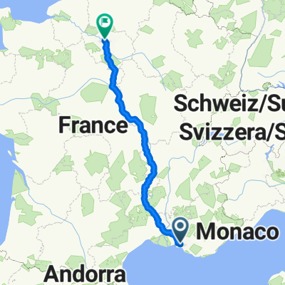
Marseille-Barcelona
Trasa rowerowa w Vitrolles, Prowansja-Alpy-Lazurowe Wybrzeże, Francja
- 809,4 km
- Dystans
- 5469 m
- Przewyższenia
- 5437 m
- Spadek
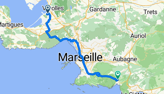
Flughafen Marseille - Cassis
Trasa rowerowa w Vitrolles, Prowansja-Alpy-Lazurowe Wybrzeże, Francja
- 53 km
- Dystans
- 616 m
- Przewyższenia
- 522 m
- Spadek

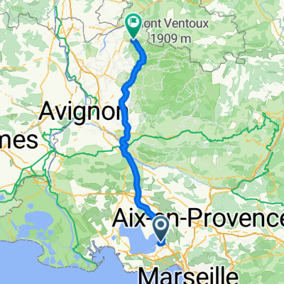
Easter 2018 Eurovelo 8
Trasa rowerowa w Vitrolles, Prowansja-Alpy-Lazurowe Wybrzeże, Francja
- 278,7 km
- Dystans
- 1224 m
- Przewyższenia
- 1220 m
- Spadek
Odkryj więcej tras
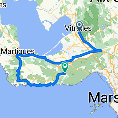
 Etappe 27 Vitrolles - Giens
- Dystans
- 128,6 km
- Przewyższenia
- 1100 m
- Spadek
- 1105 m
- Lokalizacja
- Vitrolles, Prowansja-Alpy-Lazurowe Wybrzeże, Francja
 Marseille to Romain Easy
- Dystans
- 111,4 km
- Przewyższenia
- 609 m
- Spadek
- 399 m
- Lokalizacja
- Vitrolles, Prowansja-Alpy-Lazurowe Wybrzeże, Francja
 Vitrolles - Marseille 02
- Dystans
- 100,1 km
- Przewyższenia
- 1334 m
- Spadek
- 1347 m
- Lokalizacja
- Vitrolles, Prowansja-Alpy-Lazurowe Wybrzeże, Francja
 eyguiéres/lamanon
- Dystans
- 140,6 km
- Przewyższenia
- 661 m
- Spadek
- 648 m
- Lokalizacja
- Vitrolles, Prowansja-Alpy-Lazurowe Wybrzeże, Francja
 sommer 2017
- Dystans
- 871,5 km
- Przewyższenia
- 1896 m
- Spadek
- 1980 m
- Lokalizacja
- Vitrolles, Prowansja-Alpy-Lazurowe Wybrzeże, Francja
 Mariagne-Niolon
- Dystans
- 57 km
- Przewyższenia
- 502 m
- Spadek
- 488 m
- Lokalizacja
- Vitrolles, Prowansja-Alpy-Lazurowe Wybrzeże, Francja
 210329_Vitroles_Redonne
- Dystans
- 58,6 km
- Przewyższenia
- 379 m
- Spadek
- 383 m
- Lokalizacja
- Vitrolles, Prowansja-Alpy-Lazurowe Wybrzeże, Francja
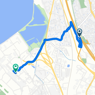 aeroport Marseille
- Dystans
- 3 km
- Przewyższenia
- 8 m
- Spadek
- 80 m
- Lokalizacja
- Vitrolles, Prowansja-Alpy-Lazurowe Wybrzeże, Francja