
Tallard na rowerze
Odkrywaj mapę z 121 trasami rowerowymi i szlakami w pobliżu Tallard, stworzonymi przez naszą społeczność.
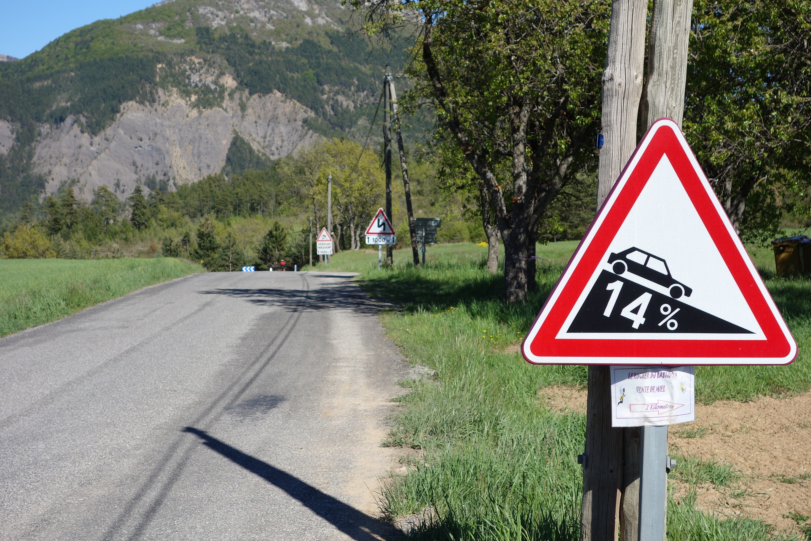
Portret regionu
Poznaj Tallard
Znajdź odpowiednią trasę rowerową dla siebie w Tallard – mamy tam 121 tras do odkrycia. Większość osób wybiera się tutaj na rower w miesiącach Lipiec i Sierpień.
12 265 km
Zarejestrowany dystans
121
Trasy rowerowe
1839
Populacja
Wspólnota
Najaktywniejsi użytkownicy w Tallard


Od naszej społeczności
Najlepsze trasy rowerowe w Tallard i okolicach


2016 Ride Day 73 - Clamensane Circle to Route du Temps
Trasa rowerowa w Tallard, Prowansja-Alpy-Lazurowe Wybrzeże, Francja
Wonderful ride only partly up the Route du Temps due to my wife's having had too little sleep last night. Great climb with excellent views.
- 59,7 km
- Dystans
- 773 m
- Przewyższenia
- 774 m
- Spadek


2016 Ride Day 72 - Clamensane Circle through Col des Sagnes
Trasa rowerowa w Tallard, Prowansja-Alpy-Lazurowe Wybrzeże, Francja
This was a fantastic ride with all roads being zero or low traffic with superb scenery. Highly recommend.
- 74,4 km
- Dystans
- 963 m
- Przewyższenia
- 964 m
- Spadek

Tallard (col des guereins)
Trasa rowerowa w Tallard, Prowansja-Alpy-Lazurowe Wybrzeże, Francja
col de foureyrasse
col des guérins
col du villar
- 36,5 km
- Dystans
- 771 m
- Przewyższenia
- 771 m
- Spadek

Tour de Barcelona dzień 17
Trasa rowerowa w Tallard, Prowansja-Alpy-Lazurowe Wybrzeże, Francja
<span style="font-size: 13.5pt; line-height: 115%;">La Saulce – </span><span style="font-size: 11pt; line-height: 115%; font-weight: normal;">(D1085-D22-D722)</span><span style="font-size: 13.5pt; line-height: 115%; font-weight: normal;"> – Rourebeau – La Polet </span><span style="font-size: 11pt; line-height: 115%; font-weight: normal;">(D722-D1085-D4085)</span><span style="font-size: 13.5pt; line-height: 115%; font-weight: normal;"> – SISTERON – La Peyrouse – Les Bons Enfants </span><span style="font-size: 11pt; line-height: 115%; font-weight: normal;">(D4085-N85)</span><span style="font-size: 13.5pt; line-height: 115%; font-weight: normal;"> – Chateau-Arnoux-Saint-Auban </span><span style="font-size: 11pt; line-height: 115%; font-weight: normal;">(D4096)</span><span style="font-size: 13.5pt; line-height: 115%; font-weight: normal;"> – Peyrius – </span><span style="font-size: 11pt; line-height: 115%; font-weight: normal;">(D12)</span><span style="font-size: 13.5pt; line-height: 115%; font-weight: normal;"> – FORCALUQIER </span><span style="font-size: 11pt; line-height: 115%; font-weight: normal;">(D4100)</span><span style="font-size: 13.5pt; line-height: 115%; font-weight: normal;"> – Mane – Cereste – La Begude </span><span style="font-size: 11pt; line-height: 115%; font-weight: normal;">(D900) </span><span style="font-size: 13.5pt; line-height: 115%; font-weight: normal;">– Le Grifon – APT </span><span style="font-size: 11pt; line-height: 115%; font-weight: normal;">(D900)</span><span style="font-size: 11pt; line-height: 115%;"> </span><span style="font-size: 13.5pt; line-height: 115%;">– Brzeg Fosse de Rabas<o:p></o:p></span>
- 126,1 km
- Dystans
- 367 m
- Przewyższenia
- 747 m
- Spadek
Odkryj więcej tras
 Tappa 4 FaunTour2k22
- Dystans
- 81,8 km
- Przewyższenia
- 561 m
- Spadek
- 719 m
- Lokalizacja
- Tallard, Prowansja-Alpy-Lazurowe Wybrzeże, Francja
 gap
gap- Dystans
- 12,8 km
- Przewyższenia
- 703 m
- Spadek
- 703 m
- Lokalizacja
- Tallard, Prowansja-Alpy-Lazurowe Wybrzeże, Francja
 La Motte du Caire-Digne les Bains
- Dystans
- 82,8 km
- Przewyższenia
- 1169 m
- Spadek
- 1269 m
- Lokalizacja
- Tallard, Prowansja-Alpy-Lazurowe Wybrzeże, Francja
 Stäfa - Tarifa Stage #7 Monetier Allemont - Avignon
- Dystans
- 165,6 km
- Przewyższenia
- 1872 m
- Spadek
- 2404 m
- Lokalizacja
- Tallard, Prowansja-Alpy-Lazurowe Wybrzeże, Francja
 étape 4
- Dystans
- 42 km
- Przewyższenia
- 778 m
- Spadek
- 617 m
- Lokalizacja
- Tallard, Prowansja-Alpy-Lazurowe Wybrzeże, Francja
 **07-V. Tallard - Pic de Gleize (170 Km)
- Dystans
- 170 km
- Przewyższenia
- 3974 m
- Spadek
- 2884 m
- Lokalizacja
- Tallard, Prowansja-Alpy-Lazurowe Wybrzeże, Francja
 Tallard - Isola 2000
- Dystans
- 204 km
- Przewyższenia
- 4828 m
- Spadek
- 3436 m
- Lokalizacja
- Tallard, Prowansja-Alpy-Lazurowe Wybrzeże, Francja
 Rochebrune to sahune
- Dystans
- 105,5 km
- Przewyższenia
- 484 m
- Spadek
- 768 m
- Lokalizacja
- Tallard, Prowansja-Alpy-Lazurowe Wybrzeże, Francja