
Sully-sur-Loire na rowerze
Odkrywaj mapę z 65 trasami rowerowymi i szlakami w pobliżu Sully-sur-Loire, stworzonymi przez naszą społeczność.
Portret regionu
Poznaj Sully-sur-Loire
Znajdź odpowiednią trasę rowerową dla siebie w Sully-sur-Loire – mamy tam 65 tras do odkrycia. Większość osób wybiera się tutaj na rower w miesiącach Lipiec i Sierpień.
7605 km
Zarejestrowany dystans
65
Trasy rowerowe
6285
Populacja
Wspólnota
Najaktywniejsi użytkownicy w Sully-sur-Loire


Od naszej społeczności
Najlepsze trasy rowerowe w Sully-sur-Loire i okolicach


Loire by bike - Sully-sur-Loire to Angers
Trasa rowerowa w Sully-sur-Loire, Region Centralny-Dolina Loary, Francja
- 382,1 km
- Dystans
- 1990 m
- Przewyższenia
- 2064 m
- Spadek

Sully_Decize
Trasa rowerowa w Sully-sur-Loire, Region Centralny-Dolina Loary, Francja
- 196,3 km
- Dystans
- 594 m
- Przewyższenia
- 521 m
- Spadek

LV15 Sully to Orleans.kml - LV15 Sully to Orleans.kml_LV15 Sully to Orleans
Trasa rowerowa w Sully-sur-Loire, Region Centralny-Dolina Loary, Francja
- 50,9 km
- Dystans
- 121 m
- Przewyższenia
- 144 m
- Spadek

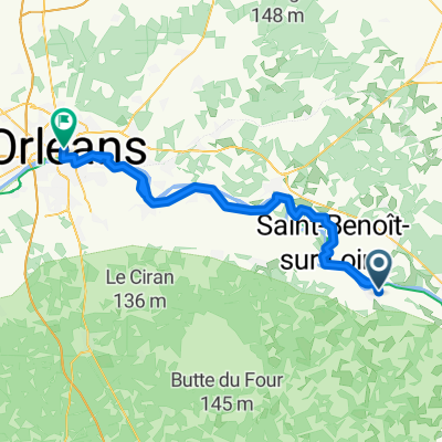
04 - Sully sur Loire - Orléans
Trasa rowerowa w Sully-sur-Loire, Region Centralny-Dolina Loary, Francja
- 53 km
- Dystans
- 82 m
- Przewyższenia
- 88 m
- Spadek
Odkryj więcej tras
 Camino 2015 18 Sully sur Loire nach Orléans
- Dystans
- 51,3 km
- Przewyższenia
- 86 m
- Spadek
- 90 m
- Lokalizacja
- Sully-sur-Loire, Region Centralny-Dolina Loary, Francja
 Loire 6 Schlössertour
- Dystans
- 397,1 km
- Przewyższenia
- 296 m
- Spadek
- 297 m
- Lokalizacja
- Sully-sur-Loire, Region Centralny-Dolina Loary, Francja
 Sully - Chateneuf
- Dystans
- 10,7 km
- Przewyższenia
- 21 m
- Spadek
- 26 m
- Lokalizacja
- Sully-sur-Loire, Region Centralny-Dolina Loary, Francja
 Sully to Orleans
- Dystans
- 50,1 km
- Przewyższenia
- 163 m
- Spadek
- 162 m
- Lokalizacja
- Sully-sur-Loire, Region Centralny-Dolina Loary, Francja
 Boulevard du Champ de Foire 3, Sully-sur-Loire nach Orléans
- Dystans
- 52,1 km
- Przewyższenia
- 142 m
- Spadek
- 147 m
- Lokalizacja
- Sully-sur-Loire, Region Centralny-Dolina Loary, Francja
 F 14 Sully-sur-Loire - Orléans
- Dystans
- 78,3 km
- Przewyższenia
- 175 m
- Spadek
- 173 m
- Lokalizacja
- Sully-sur-Loire, Region Centralny-Dolina Loary, Francja
 23 avril - Sully-sur-Loire vers Nevers
- Dystans
- 132,5 km
- Przewyższenia
- 151 m
- Spadek
- 67 m
- Lokalizacja
- Sully-sur-Loire, Region Centralny-Dolina Loary, Francja
 140 - Sully-Montargis-Gien-Sully
- Dystans
- 141,9 km
- Przewyższenia
- 163 m
- Spadek
- 160 m
- Lokalizacja
- Sully-sur-Loire, Region Centralny-Dolina Loary, Francja