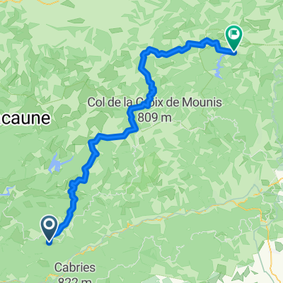


2019 Mazamet-Herepian
- 13,2 km
- 177 m
- 63 m
- Saint-Pons-de-Thomières, Occitanie, Francja

Odkrywaj mapę z 69 trasami rowerowymi i szlakami w pobliżu Saint-Pons-de-Thomières, stworzonymi przez naszą społeczność.
Portret regionu
Znajdź odpowiednią trasę rowerową dla siebie w Saint-Pons-de-Thomières – mamy tam 69 tras do odkrycia. Większość osób wybiera się tutaj na rower w miesiącach Lipiec i Sierpień.
4471 km
Zarejestrowany dystans
69
Trasy rowerowe
2792
Populacja
Wspólnota
Od naszej społeczności

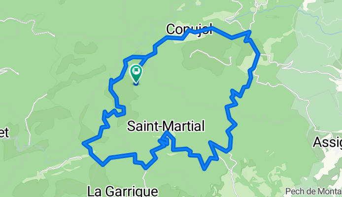
Trasa rowerowa w Saint-Pons-de-Thomières, Occitanie, Francja
Trasa rowerowa w Saint-Pons-de-Thomières, Occitanie, Francja
Trasa rowerowa w Saint-Pons-de-Thomières, Occitanie, Francja
Trasa rowerowa w Saint-Pons-de-Thomières, Occitanie, Francja