
Saint-Marcel-lès-Valence na rowerze
Odkrywaj mapę z 52 trasami rowerowymi i szlakami w pobliżu Saint-Marcel-lès-Valence, stworzonymi przez naszą społeczność.
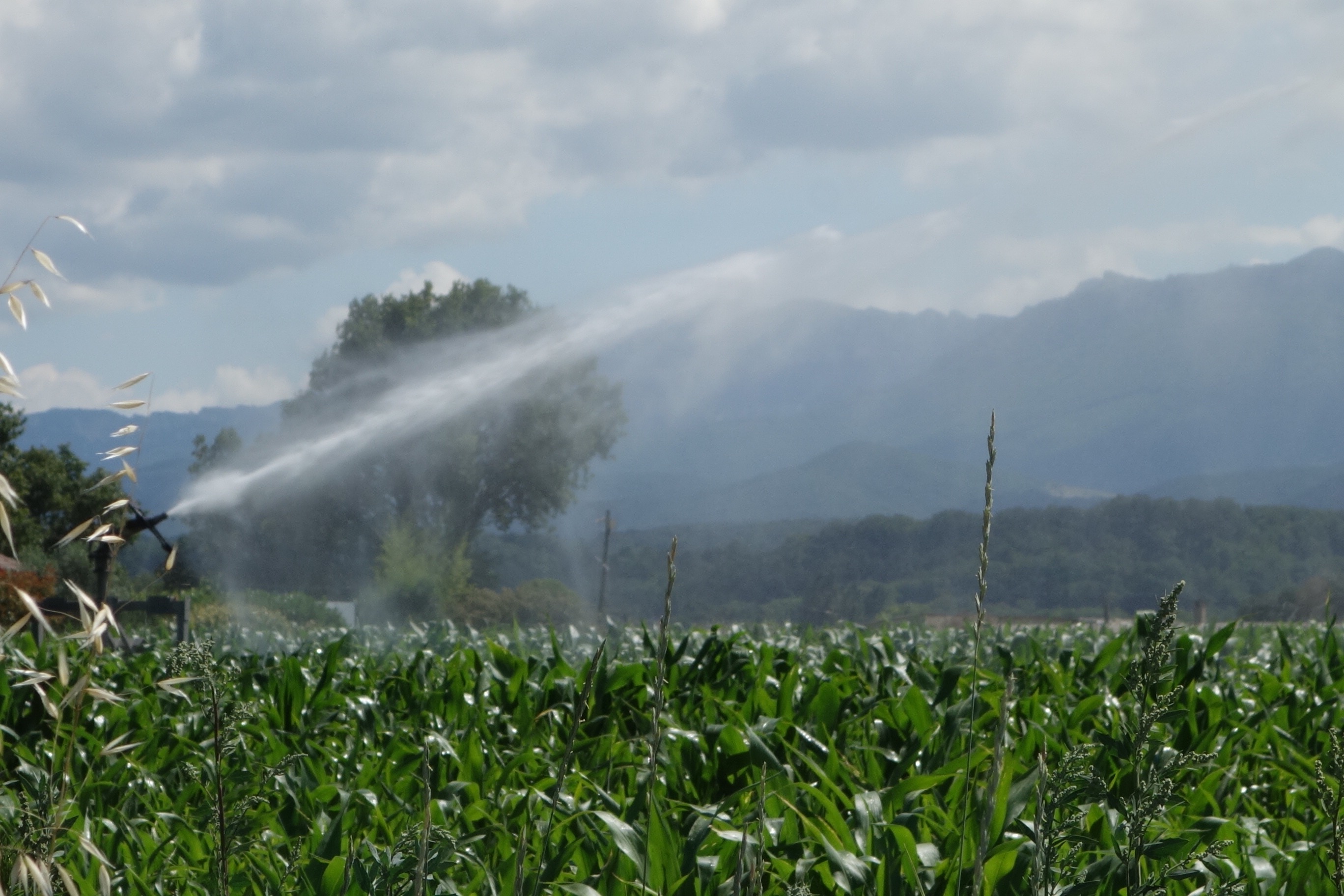
Portret regionu
Poznaj Saint-Marcel-lès-Valence
Znajdź odpowiednią trasę rowerową dla siebie w Saint-Marcel-lès-Valence – mamy tam 52 tras do odkrycia. Większość osób wybiera się tutaj na rower w miesiącu Czerwiec.
7772 km
Zarejestrowany dystans
52
Trasy rowerowe
4420
Populacja
Wspólnota
Najaktywniejsi użytkownicy w Saint-Marcel-lès-Valence


Od naszej społeczności
Najlepsze trasy rowerowe w Saint-Marcel-lès-Valence i okolicach


2016 Ride Day 104 - Valence Semi-Circle to Bourg-de-Péage (Romans-sur-Isère)
Trasa rowerowa w Saint-Marcel-lès-Valence, Auvergne-Rhône-Alpes, France
This was a very circuitous route to get to a store to keep us from starving. Except for the roads within Bourg-de-Péage, all were excellent low traffic roads.
- 58,9 km
- Dystans
- 471 m
- Przewyższenia
- 469 m
- Spadek


2016 Ride Day 91 - Valence Circle to Col de Rotisson
Trasa rowerowa w Saint-Marcel-lès-Valence, Auvergne-Rhône-Alpes, France
Great ride through Valence and surrounding hills and some flat roads. The climbing was excellent zero traffic road and there was shoulder along most of the N7 and D538 portions of the ride.
It's always a surprise to see how big the Rhône river is.
- 5,9 km
- Dystans
- 10 m
- Przewyższenia
- 22 m
- Spadek


2016 Ride Day 106 - Valence to St-Sauveur-de-Montagut
Trasa rowerowa w Saint-Marcel-lès-Valence, Auvergne-Rhône-Alpes, France
Excellent ride on mostly low traffic roads. The secton of D538 we were on had great shoulder.
- 76,4 km
- Dystans
- 413 m
- Przewyższenia
- 369 m
- Spadek


2016 Ride Day 92 - Valence to Le-Puy-en-Velay
Trasa rowerowa w Saint-Marcel-lès-Valence, Auvergne-Rhône-Alpes, France
'The word for today was "long". Great climbing and countryside…just too much of it. Fortunately, most of the last 25 kilometers or so were downhill.
Most all roads, even D15 and D150, were low or zero traffic roads.
- 138,1 km
- Dystans
- 1767 m
- Przewyższenia
- 1285 m
- Spadek
Odkryj więcej tras
 2016 Ride Day 105 - Valence Circle to Vesc
- Dystans
- 139,9 km
- Przewyższenia
- 842 m
- Spadek
- 840 m
- Lokalizacja
- Saint-Marcel-lès-Valence, Auvergne-Rhône-Alpes, France
 2016 Ride Day 90 - Valence Circle to Col de Tourniol
- Dystans
- 67,2 km
- Przewyższenia
- 1178 m
- Spadek
- 1176 m
- Lokalizacja
- Saint-Marcel-lès-Valence, Auvergne-Rhône-Alpes, France
 2016 Ride Day 91 - Valence Circle to Col de Rotisson
- Dystans
- 77 km
- Przewyższenia
- 484 m
- Spadek
- 482 m
- Lokalizacja
- Saint-Marcel-lès-Valence, Auvergne-Rhône-Alpes, France
 Lyon (train to) - Avignon - Saint Tropez - Cannes - Nice - Monte Carlo
- Dystans
- 543,1 km
- Przewyższenia
- 1398 m
- Spadek
- 1561 m
- Lokalizacja
- Saint-Marcel-lès-Valence, Auvergne-Rhône-Alpes, France
 Valence TGV - Bessette
- Dystans
- 150,6 km
- Przewyższenia
- 1726 m
- Spadek
- 875 m
- Lokalizacja
- Saint-Marcel-lès-Valence, Auvergne-Rhône-Alpes, France
 13946585-RDS Global 2022
- Dystans
- 838 km
- Przewyższenia
- 22 985 m
- Spadek
- 22 660 m
- Lokalizacja
- Saint-Marcel-lès-Valence, Auvergne-Rhône-Alpes, France
 Valence TGV-Crest
- Dystans
- 41,7 km
- Przewyższenia
- 153 m
- Spadek
- 137 m
- Lokalizacja
- Saint-Marcel-lès-Valence, Auvergne-Rhône-Alpes, France
 Valence TGV Aubenas
- Dystans
- 91,1 km
- Przewyższenia
- 865 m
- Spadek
- 777 m
- Lokalizacja
- Saint-Marcel-lès-Valence, Auvergne-Rhône-Alpes, France