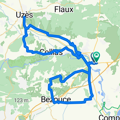
Provence 2004 1. Tag
- 83,3 km
- 339 m
- 237 m
- Remoulins, Occitanie, Francja

Znajdź odpowiednią trasę rowerową dla siebie w Remoulins – mamy tam 81 tras do odkrycia. Większość osób wybiera się tutaj na rower w miesiącach Maj i Lipiec.
Zarejestrowany dystans
Trasy rowerowe
Populacja
Trasa rowerowa w Remoulins, Occitanie, Francja
Trasa rowerowa w Remoulins, Occitanie, Francja
Trasa rowerowa w Remoulins, Occitanie, Francja
Trasa rowerowa w Remoulins, Occitanie, Francja