Ramatuelle, vinice, majak
- 20,6 km
- 562 m
- 571 m
- Ramatuelle, Prowansja-Alpy-Lazurowe Wybrzeże, Francja

Odkrywaj mapę z 131 trasami rowerowymi i szlakami w pobliżu Ramatuelle, stworzonymi przez naszą społeczność.
Portret regionu
Znajdź odpowiednią trasę rowerową dla siebie w Ramatuelle – mamy tam 131 tras do odkrycia. Większość osób wybiera się tutaj na rower w miesiącach Lipiec i Wrzesień.
4925 km
Zarejestrowany dystans
131
Trasy rowerowe
2330
Populacja
Wspólnota
Od naszej społeczności
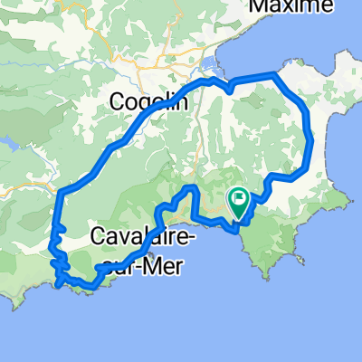
Trasa rowerowa w Ramatuelle, Prowansja-Alpy-Lazurowe Wybrzeże, Francja
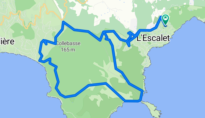
Trasa rowerowa w Ramatuelle, Prowansja-Alpy-Lazurowe Wybrzeże, Francja
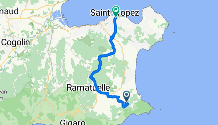
Trasa rowerowa w Ramatuelle, Prowansja-Alpy-Lazurowe Wybrzeże, Francja
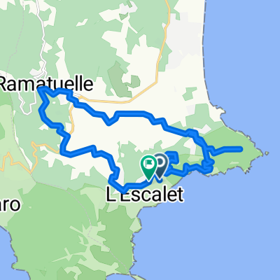
Trasa rowerowa w Ramatuelle, Prowansja-Alpy-Lazurowe Wybrzeże, Francja