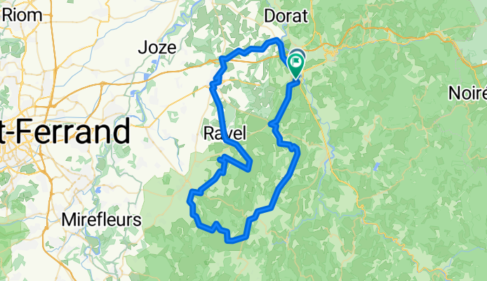
Peschadoires na rowerze
Odkrywaj mapę z 6 trasami rowerowymi i szlakami w pobliżu Peschadoires, stworzonymi przez naszą społeczność.
Portret regionu
Poznaj Peschadoires
Znajdź odpowiednią trasę rowerową dla siebie w Peschadoires – mamy tam 6 tras do odkrycia.
929 km
Zarejestrowany dystans
6
Trasy rowerowe
2060
Populacja
Wspólnota
Najaktywniejsi użytkownicy w Peschadoires
Od naszej społeczności
Najlepsze trasy rowerowe w Peschadoires i okolicach
Thiers - Meilhan
Trasa rowerowa w Peschadoires, Owernia-Rodan-Alpy, Francja
Auvergne - Aquitaine
- 522,2 km
- Dystans
- 2716 m
- Przewyższenia
- 2963 m
- Spadek
De Route de Clermont à Chemin des Torrents
Trasa rowerowa w Peschadoires, Owernia-Rodan-Alpy, Francja
- 76,9 km
- Dystans
- 890 m
- Przewyższenia
- 882 m
- Spadek
2009 Euro Tour -- Ride Day 7 — 27 June 2009 — 63300 Thiers to 42120 Le Coteau (Roanne)
Trasa rowerowa w Peschadoires, Owernia-Rodan-Alpy, Francja
This is what a bike tour is all about: Perfect weather, outstanding countryside with very pretty towns, and terrific roads. Also, whether it was the locale or yesterday’s rain, the air felt even cleaner and fresher. This route was clearly worth repeating. We should plan to return to this area sometime.<br /> <br />From the start when we climbed through Thiers until hitting La Croix du Sud, it felt like 90% climbing. So, the 30 km or so from La Croix through Roanne and across the Loire into Le Coteau was thankfully downhill or flat. With a ride time of almost eight hours, we truly appreciated this painless finish. The downhill from La Croix du Sud was also very tame with no technical parts that required hand-numbing breaking.<br /> <br />We stopped for a nice picnic lunch in La Guillermie against a beautiful view and a nice church. This was just after passing our first official “col” of the trip: Col de la Plantade at 870 M. There was at this lunch spot even a fountain of sorts with eau potable.<br /> <br />During the day, we passed from Puy-de-Dôme back into Allier for a short time and then into Loire.<br /><br />Background:<br /><br />My wife and I have been doing self-supported tours in Western Europe (a majority in France) since 1993. This series of rides covers our 2009 4.5 month route through parts of France, Germany, Austria, Switzerland, and then back to France. Our beginning and ending point is near Chadurie (south of Angouleme) where our friends have a farm with Gites and Chambres d'Hotes.<br /><br />We rode our Dawes touring bicycles purchased in 1993 heavily loaded with 700Cx32 tires. All of our riding was on paved roads, mostly with very little traffic. Pretty much the only unpaved sections were some bicycle paths in Germany and Austria. Sadly, that wasn't so great as Helen fell a number of times on the unpaved paths. Fortunately, though, no serious injury.<br /><br />If any questions, feel free to email me at jeffkadet@netdiving.com<br /><br />Jeff
- 102,7 km
- Dystans
- 1023 m
- Przewyższenia
- 1039 m
- Spadek
Thiers Le Puy en velay
Trasa rowerowa w Peschadoires, Owernia-Rodan-Alpy, Francja
4 eme étape
- 151,9 km
- Dystans
- 3152 m
- Przewyższenia
- 2672 m
- Spadek


