
Chanac na rowerze
Odkrywaj mapę z 246 trasami rowerowymi i szlakami w pobliżu Chanac, stworzonymi przez naszą społeczność.
Portret regionu
Poznaj Chanac
Znajdź odpowiednią trasę rowerową dla siebie w Chanac – mamy tam 246 tras do odkrycia. Większość osób wybiera się tutaj na rower w miesiącach Lipiec i Sierpień.
8842 km
Zarejestrowany dystans
246
Trasy rowerowe
1212
Populacja
Wspólnota
Najaktywniejsi użytkownicy w Chanac


Od naszej społeczności
Najlepsze trasy rowerowe w Chanac i okolicach

Ride Day 30—11 Oct 2005—48210 St-Chely du Tarn/Sainte Énimie — Circle
Trasa rowerowa w Chanac, Occitanie, Francja
- 58 km
- Dystans
- 951 m
- Przewyższenia
- 951 m
- Spadek

Ride Day 31—12 Oct 2005—48210 St-Chely du Tarn/Sainte Énimie to 48260 Recoules D'Aubrac (Nasbinals)
Trasa rowerowa w Chanac, Occitanie, Francja
- 86,1 km
- Dystans
- 1224 m
- Przewyższenia
- 644 m
- Spadek

F122-2024-Chanac-Florac-Les Vignes-La Malene-Chanac
Trasa rowerowa w Chanac, Occitanie, Francja
- 118,7 km
- Dystans
- 3462 m
- Przewyższenia
- 3474 m
- Spadek

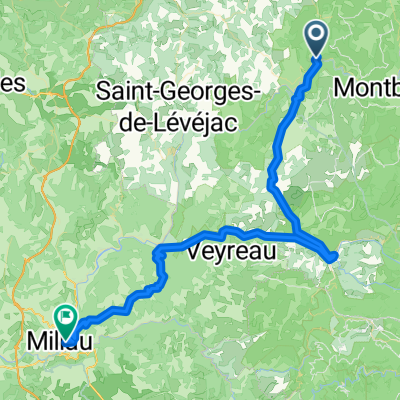
Tarnroute (Nr. 160) Ste. Enemie- Millau
Trasa rowerowa w Chanac, Occitanie, Francja
- 55,4 km
- Dystans
- 318 m
- Przewyższenia
- 436 m
- Spadek
Odkryj więcej tras
 Ste. Enimie - Millau (Causse Route nr. 159)
- Dystans
- 76,7 km
- Przewyższenia
- 1119 m
- Spadek
- 1262 m
- Lokalizacja
- Chanac, Occitanie, Francja
 Entre Culture et le Monastier
- Dystans
- 36,7 km
- Przewyższenia
- 580 m
- Spadek
- 583 m
- Lokalizacja
- Chanac, Occitanie, Francja
 1999 Radlour am Tarn
- Dystans
- 90,3 km
- Przewyższenia
- 1143 m
- Spadek
- 1115 m
- Lokalizacja
- Chanac, Occitanie, Francja
 F125-2024-Chanac-La Tieule-Chanac
- Dystans
- 65,1 km
- Przewyższenia
- 1794 m
- Spadek
- 1798 m
- Lokalizacja
- Chanac, Occitanie, Francja
 F121-2024-Chanac-Quezac-Saint Emine-Chanac
- Dystans
- 63,4 km
- Przewyższenia
- 2103 m
- Spadek
- 2109 m
- Lokalizacja
- Chanac, Occitanie, Francja
 F124-2024-Chanac-Einrollen-Trekking
- Dystans
- 58,7 km
- Przewyższenia
- 1670 m
- Spadek
- 1670 m
- Lokalizacja
- Chanac, Occitanie, Francja
 F120-2024-Chanac-Saint Emine-La Malene-Chanac
- Dystans
- 61,1 km
- Przewyższenia
- 2248 m
- Spadek
- 2255 m
- Lokalizacja
- Chanac, Occitanie, Francja
 F123-2024-Chanac-Correjac-Le Balmes-Chanac
- Dystans
- 42,9 km
- Przewyższenia
- 1243 m
- Spadek
- 1244 m
- Lokalizacja
- Chanac, Occitanie, Francja