
Beynat na rowerze
Odkrywaj mapę z 18 trasami rowerowymi i szlakami w pobliżu Beynat, stworzonymi przez naszą społeczność.
Portret regionu
Poznaj Beynat
Znajdź odpowiednią trasę rowerową dla siebie w Beynat – mamy tam 18 tras do odkrycia.
932 km
Zarejestrowany dystans
18
Trasy rowerowe
1233
Populacja
Wspólnota
Najaktywniejsi użytkownicy w Beynat


Od naszej społeczności
Najlepsze trasy rowerowe w Beynat i okolicach


Albussac (Les Quatre Routes) - Circle through Neuville
Trasa rowerowa w Beynat, Nouvelle-Aquitaine, Francja
- 37,8 km
- Dystans
- 686 m
- Przewyższenia
- 686 m
- Spadek


Albussac (Les Quatre Routes) - Circle to Brive-la-Gaillarde (Malemort)
Trasa rowerowa w Beynat, Nouvelle-Aquitaine, Francja
- 75,3 km
- Dystans
- 1422 m
- Przewyższenia
- 1422 m
- Spadek


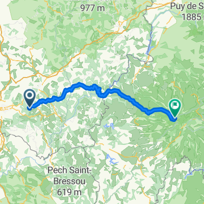
Albussac (Les Quatre Routes) to Égletons
Trasa rowerowa w Beynat, Nouvelle-Aquitaine, Francja
- 53,5 km
- Dystans
- 978 m
- Przewyższenia
- 889 m
- Spadek


Albussac (Les Quatre Routes) - Circle through Tulle
Trasa rowerowa w Beynat, Nouvelle-Aquitaine, Francja
- 59,4 km
- Dystans
- 1179 m
- Przewyższenia
- 1180 m
- Spadek
Odkryj więcej tras
 Albussac (Les Quatre Routes) - Circle to Argentat and Barrage
- Dystans
- 63,9 km
- Przewyższenia
- 1701 m
- Spadek
- 1696 m
- Lokalizacja
- Beynat, Nouvelle-Aquitaine, Francja
 Montée Lanteuil-Brousse
- Dystans
- 7,7 km
- Przewyższenia
- 354 m
- Spadek
- 95 m
- Lokalizacja
- Beynat, Nouvelle-Aquitaine, Francja
 Circuit championat
- Dystans
- 9,7 km
- Przewyższenia
- 156 m
- Spadek
- 156 m
- Lokalizacja
- Beynat, Nouvelle-Aquitaine, Francja
 puy mary 2
- Dystans
- 116,8 km
- Przewyższenia
- 1874 m
- Spadek
- 824 m
- Lokalizacja
- Beynat, Nouvelle-Aquitaine, Francja
 Palazinges - Barrage aigle
- Dystans
- 66,7 km
- Przewyższenia
- 508 m
- Spadek
- 764 m
- Lokalizacja
- Beynat, Nouvelle-Aquitaine, Francja
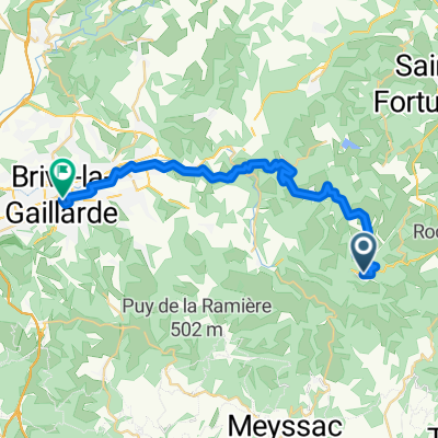 From Beynat to Brive-la-Gaillarde
- Dystans
- 28,7 km
- Przewyższenia
- 485 m
- Spadek
- 760 m
- Lokalizacja
- Beynat, Nouvelle-Aquitaine, Francja
 le planchat
- Dystans
- 3,8 km
- Przewyższenia
- 212 m
- Spadek
- 93 m
- Lokalizacja
- Beynat, Nouvelle-Aquitaine, Francja
 espagnagol
- Dystans
- 7,1 km
- Przewyższenia
- 135 m
- Spadek
- 135 m
- Lokalizacja
- Beynat, Nouvelle-Aquitaine, Francja