Strecke B: Comps sur Artuby-Valensole
- 80,7 km
- 1119 m
- 1460 m
- Bargemon, Prowansja-Alpy-Lazurowe Wybrzeże, Francja

Odkrywaj mapę z 97 trasami rowerowymi i szlakami w pobliżu Bargemon, stworzonymi przez naszą społeczność.
Portret regionu
Znajdź odpowiednią trasę rowerową dla siebie w Bargemon – mamy tam 97 tras do odkrycia. Większość osób wybiera się tutaj na rower w miesiącach Maj i Sierpień.
8740 km
Zarejestrowany dystans
97
Trasy rowerowe
1316
Populacja
Wspólnota
Od naszej społeczności
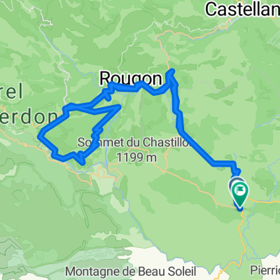
Trasa rowerowa w Bargemon, Prowansja-Alpy-Lazurowe Wybrzeże, Francja
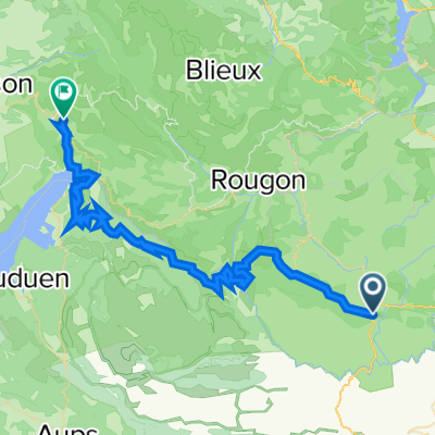
Trasa rowerowa w Bargemon, Prowansja-Alpy-Lazurowe Wybrzeże, Francja
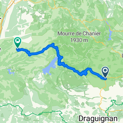
Trasa rowerowa w Bargemon, Prowansja-Alpy-Lazurowe Wybrzeże, Francja
Trasa rowerowa w Bargemon, Prowansja-Alpy-Lazurowe Wybrzeże, Francja