Jak może wyglądać jazda na rowerze w Santa Gadea del Cid.

Santa Gadea del Cid na rowerze

Odkrywaj mapę z 23 trasami rowerowymi i szlakami w pobliżu Santa Gadea del Cid, stworzonymi przez naszą społeczność.

Portret regionu

Poznaj Santa Gadea del Cid

Znajdź odpowiednią trasę rowerową dla siebie w Santa Gadea del Cid – mamy tam 23 tras do odkrycia.

1348 km

Zarejestrowany dystans

23

Trasy rowerowe

168

Populacja

Wspólnota

Najaktywniejsi użytkownicy w Santa Gadea del Cid

Od naszej społeczności
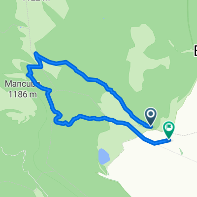
Najlepsze trasy rowerowe w Santa Gadea del Cid i okolicach

Puentelarrá-Puentelarrá por el Portillo
Rower szosowyUtwardzony
juanmariabril
0

Puentelarrá-Puentelarrá por el Portillo

Trasa rowerowa w Santa Gadea del Cid, Castille and León, Spain

Puentelarrá-Pancorbo-Cubo de Bureba-Busto de Bureba-Bu520-Frias-Quintana Martín Galíndez-Puentelarrá
77 km
Dystans
692 m
Przewyższenia
692 m
Spadek
Vuelta de Puentelarrá a Oña
Rower szosowyUtwardzony
juanmariabril
1

Vuelta de Puentelarrá a Oña

Trasa rowerowa w Santa Gadea del Cid, Castille and León, Spain

Por la Bureba, los valles del Oca y de Tobalina
98,6 km
Dystans
554 m
Przewyższenia
554 m
Spadek
Puentelarrá montes Obarenes
Rower szosowyRower górskiUtwardzonyNieutwardzony
juanmariabril
1

Puentelarrá montes Obarenes

Trasa rowerowa w Santa Gadea del Cid, Castille and León, Spain

Puentelarrá montes Obarenes, Frías
69,3 km
Dystans
693 m
Przewyższenia
693 m
Spadek
De Bergonda a Bergonda
Rower szosowyUtwardzony
juanmariabril
1

De Bergonda a Bergonda

Trasa rowerowa w Santa Gadea del Cid, Castille and León, Spain

Ruta que da la vuelta al Parque natural de Valderejo. Entra por el Valle de Tobalina (Gabanes y Promediano a Pedrosa) y sale por el Valle de Valdegobia subiendo el puerto de La Horca
78,8 km
Dystans
610 m
Przewyższenia
607 m
Spadek

Odkryj więcej tras