
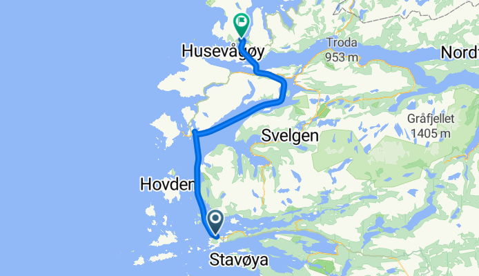

11 Floro - Naudstal
- 51,5 km
- 938 m
- 940 m
- Florø, Sogn og Fjordane Fylke, Norwegia

Znajdź odpowiednią trasę rowerową dla siebie w Florø – mamy tam 30 tras do odkrycia.
Zarejestrowany dystans
Trasy rowerowe
Populacja
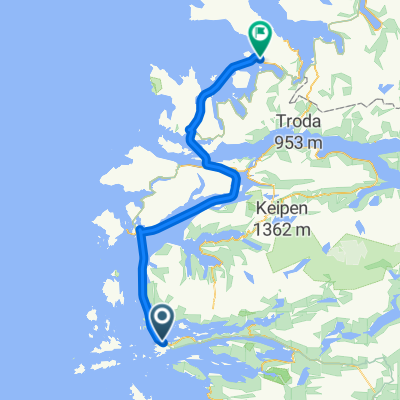
Trasa rowerowa w Florø, Sogn og Fjordane Fylke, Norwegia
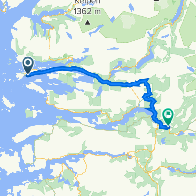
Trasa rowerowa w Florø, Sogn og Fjordane Fylke, Norwegia
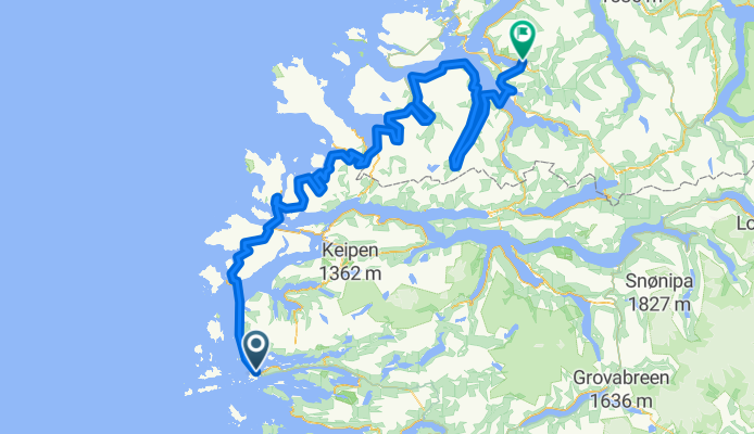
Trasa rowerowa w Florø, Sogn og Fjordane Fylke, Norwegia
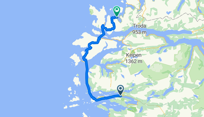
Trasa rowerowa w Florø, Sogn og Fjordane Fylke, Norwegia