Jak może wyglądać jazda na rowerze w Neirone.

Neirone na rowerze

Odkrywaj mapę z 3 trasami rowerowymi i szlakami w pobliżu Neirone, stworzonymi przez naszą społeczność.

Bądź pionierem

Zainspiruj innych rowerzystów swoją trasą w Neirone

Bikemap to globalna społeczność rowerowa z milionami tras tworzonych przez rowerzystów takich jak Ty. W Neirone jest na razie tylko kilka tras, więc narysuj swoje ulubione przejazdy na mapie, by pomóc innym odkryć najlepsze trasy.

Od naszej społeczności

Najlepsze trasy rowerowe w Neirone i okolicach
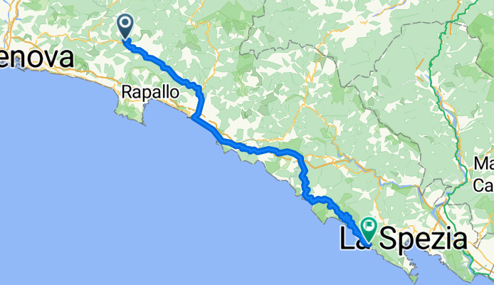
Anello del Caucaso
Rower górskiNieutwardzonyŻwir
0

Anello del Caucaso

Trasa rowerowa w Neirone, Liguria, Italy

The path winds among Monte Caucaso’s slopes, characterized by a first climb to the peak, a long downhill with a panoramic view on Fontanabuona valley. It continues in a dense forest of secular chestnuts trees. A new climb to Scoglina and, through the river Aveto Valley, returns to the starting point. If you start from Barbagelata, climbing the country road that to the summit of Monte Caucaso, where you will find a small chapel and the shelter. The view opens on Golfo Paradiso, from Portofino to Sestri Levante. Return down to the base of the summit and follow the ridge path in the direction of Pietra Cavallina, first uphill and then downhill. To the left you will find the turnoff to Passo Croci, sliding descent with some technical sections, steps, roots and rocks. At Passo Croci there are two possibilities: On right side the path leads down to Pian del Pero medium difficulty trail. From here by country road you will reach site Spina. Following the track across fields and a beech forest, with a path of reduced width, you will reach the little chapel of San Rocco; On left side the trail descends near the San Rocco chapel (with some difficult technical trail for MBT). From San Rocco, follow the country road down for about 1 km and then, with an ascent of 3 km, you will reach Struvega (rest area with slate benches). Then through a technical course marked by rock slabs and often bumpy, you will reach the asphalted road that leads to Passo della Scoglina. Pay attention to rockfall and fords. At Passo della Scoglina you will find two itineraries: If you are tired, you can go through the asphalted road directly to Barbagelata If you still have energy, you can cross the trail that winds among River Aveto. Pay attention to a series of fords. Climb up to Stre Burche (steep slope, passing by walk for a single track for MBT). From here retracing the initial section of route back to Barbagelata. STARTING POINT Barbagelata (Municipality of Lorsica) ARRIVAL POINT Barbagelata (Municipality of Lorsica) Distance 25 km Trail type trekking - trail running and MBT Technical difficulty for experts with a good technical degree of MBT (medium-high) Difference in height 2100 m Max hight 1245 m (Monte Caucaso top) Shelter Monte Caucaso (12 beds) Manager Maurizio Chénal (+39) 347 3011016
45,9 km
Dystans
1997 m
Przewyższenia
2504 m
Spadek
Toski09_5
Rower szosowyUtwardzony
styroporhirni
1

Toski09_5

Trasa rowerowa w Neirone, Liguria, Italy

96,5 km
Dystans
1392 m
Przewyższenia
1707 m
Spadek
0

prova 1

Trasa rowerowa w Neirone, Liguria, Italy

34,8 km
Dystans
1490 m
Przewyższenia
454 m
Spadek