Saint David’s na rowerze
Odkrywaj mapę z 10 trasami rowerowymi i szlakami w pobliżu Saint David’s, stworzonymi przez naszą społeczność.
Bądź pionierem
Zainspiruj innych rowerzystów swoją trasą w Saint David’s
Bikemap to globalna społeczność rowerowa z milionami tras tworzonych przez rowerzystów takich jak Ty. W Saint David’s jest na razie tylko kilka tras, więc narysuj swoje ulubione przejazdy na mapie, by pomóc innym odkryć najlepsze trasy.
Od naszej społeczności
Najlepsze trasy rowerowe w Saint David’s i okolicach
Belle Isle MTB exploration
Trasa rowerowa w Saint David’s, Saint David, Grenada
- 16,4 km
- Dystans
- 417 m
- Przewyższenia
- 416 m
- Spadek
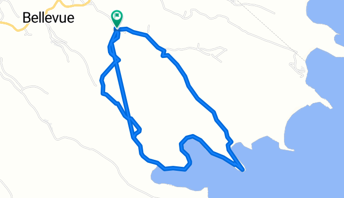
Beaton mountain bike circuit
Trasa rowerowa w Saint David’s, Saint David, Grenada
- 6,1 km
- Dystans
- 225 m
- Przewyższenia
- 244 m
- Spadek
La Sagesse MTB ride via Thebaide
Trasa rowerowa w Saint David’s, Saint David, Grenada
- 12 km
- Dystans
- 405 m
- Przewyższenia
- 411 m
- Spadek
Marlmount hike to beach and back
Trasa rowerowa w Saint David’s, Saint David, Grenada
- 8,6 km
- Dystans
- 360 m
- Przewyższenia
- 360 m
- Spadek
Odkryj więcej tras
 MTB tour from Cabier
- Dystans
- 11,9 km
- Przewyższenia
- 291 m
- Spadek
- 287 m
- Lokalizacja
- Saint David’s, Saint David, Grenada
 Hike - Vincennes circuit via Syracuse
- Dystans
- 6,1 km
- Przewyższenia
- 349 m
- Spadek
- 349 m
- Lokalizacja
- Saint David’s, Saint David, Grenada
 Hike - Windosr Forest to Morne Tranquille and back
- Dystans
- 4,4 km
- Przewyższenia
- 246 m
- Spadek
- 246 m
- Lokalizacja
- Saint David’s, Saint David, Grenada
 MTB circuit Westerhall - Laura - Minorca - Bacolet
- Dystans
- 18,3 km
- Przewyższenia
- 532 m
- Spadek
- 533 m
- Lokalizacja
- Saint David’s, Saint David, Grenada
 Grand Etang to Annandale hike
- Dystans
- 5,3 km
- Przewyższenia
- 159 m
- Spadek
- 528 m
- Lokalizacja
- Saint David’s, Saint David, Grenada
 waterfall
- Dystans
- 2,7 km
- Przewyższenia
- 154 m
- Spadek
- 153 m
- Lokalizacja
- Saint David’s, Saint David, Grenada


