


Test
- 133,3 km
- 320 m
- 319 m
- Parkville, Missouri, USA

Odkrywaj mapę z 28 trasami rowerowymi i szlakami w pobliżu Parkville, stworzonymi przez naszą społeczność.
Portret regionu
Znajdź odpowiednią trasę rowerową dla siebie w Parkville – mamy tam 28 tras do odkrycia.
534 km
Zarejestrowany dystans
28
Trasy rowerowe
5554
Populacja
Wspólnota
Od naszej społeczności

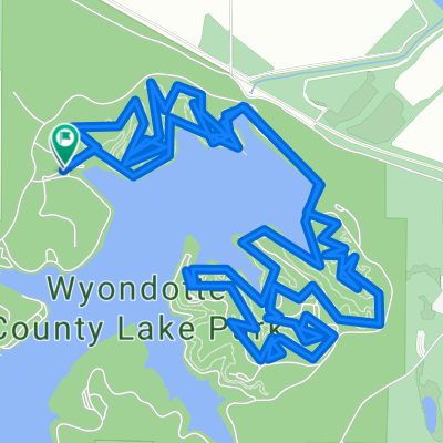
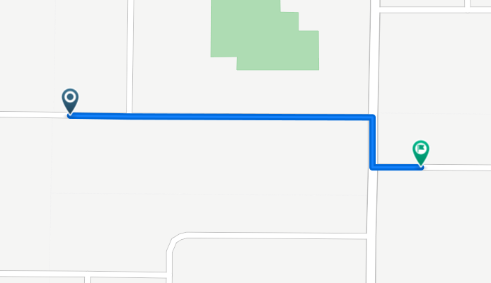
Trasa rowerowa w Parkville, Missouri, USA
Trasa rowerowa w Parkville, Missouri, USA
Trasa rowerowa w Parkville, Missouri, USA
Trasa rowerowa w Parkville, Missouri, USA