Estonia na rowerze
Odkrywaj mapę z 8530 trasami rowerowymi i szlakami w Estonia, stworzonymi przez naszą społeczność.
Portret regionu
Poznaj Estonia
Find and create the best bike routes in Estonia with the bike route planner: Estonia is a biker’s paradise where enthusiastic cyclists can watch the sun rise over swamps, visit historic and cultural places in the inland, enjoy solitude on rides through the forest and listen to tweeting birds in the early morning. The country can be crossed within a few days, but one can also ride on the bike trails along the coast and enjoy the view of the sea.
850 159 km
Zarejestrowany dystans
8530
Trasy rowerowe
1,3 milionów
Populacja
Wspólnota
Najaktywniejsi użytkownicy w Estonia
Starannie wybrane trasy
Odkryj Estonia dzięki tym kolekcjom
Od naszej społeczności
Najlepsze trasy rowerowe w Estonia
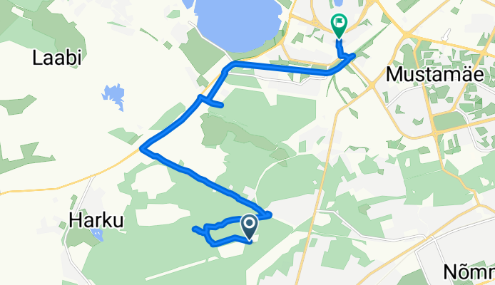
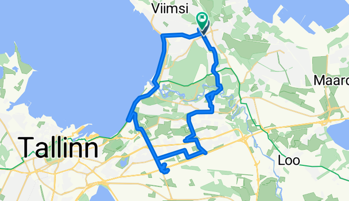
От Kalda tänav до Õismäe tee
Trasa rowerowa w Laagri, Harjumaa, Estonia
- 10 km
- Dystans
- 25 m
- Przewyższenia
- 69 m
- Spadek
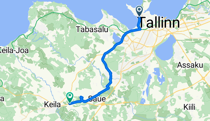
Lõime, Tallinn to Valingu-Jõgisoo tee, Tutermaa
Trasa rowerowa w Tallinn, Harjumaa, Estonia
- 28,2 km
- Dystans
- 108 m
- Przewyższenia
- 83 m
- Spadek
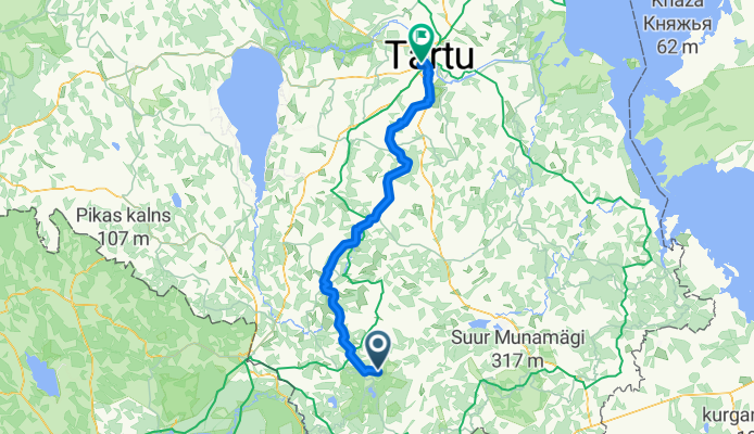
Koolitare to Ravila tänav Harimäe ja Õdri kaudu
Trasa rowerowa w Vana-Antsla, Võrumaa, Estonia
- 105,2 km
- Dystans
- 1370 m
- Przewyższenia
- 1396 m
- Spadek
Odkryj więcej tras
 Loitsu tänav 3a to Loitsu tänav
- Dystans
- 33,1 km
- Przewyższenia
- 196 m
- Spadek
- 207 m
- Lokalizacja
- Kose, Harjumaa, Estonia
 оповоРасслабленный маршрут
- Dystans
- 1280,7 km
- Przewyższenia
- 26 153 m
- Spadek
- 26 156 m
- Lokalizacja
- Kose, Harjumaa, Estonia
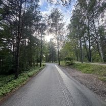 Lõime, Tallinn to Vääna, Tallinn
- Dystans
- 10,5 km
- Przewyższenia
- 62 m
- Spadek
- 17 m
- Lokalizacja
- Tallinn, Harjumaa, Estonia
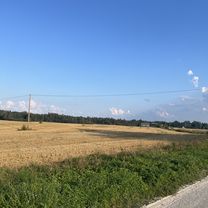 Jaama tee, Riisipere to Vaimõisa-Nurme tee, Russalu
- Dystans
- 12,5 km
- Przewyższenia
- 42 m
- Spadek
- 49 m
- Lokalizacja
- Riisipere, Harjumaa, Estonia
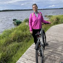 Männiku, Выру до Männiku, Выру
- Dystans
- 18,3 km
- Przewyższenia
- 123 m
- Spadek
- 125 m
- Lokalizacja
- Võru, Võrumaa, Estonia
 Männiku, Выру до Männiku, Выру
- Dystans
- 17,6 km
- Przewyższenia
- 191 m
- Spadek
- 191 m
- Lokalizacja
- Võru, Võrumaa, Estonia
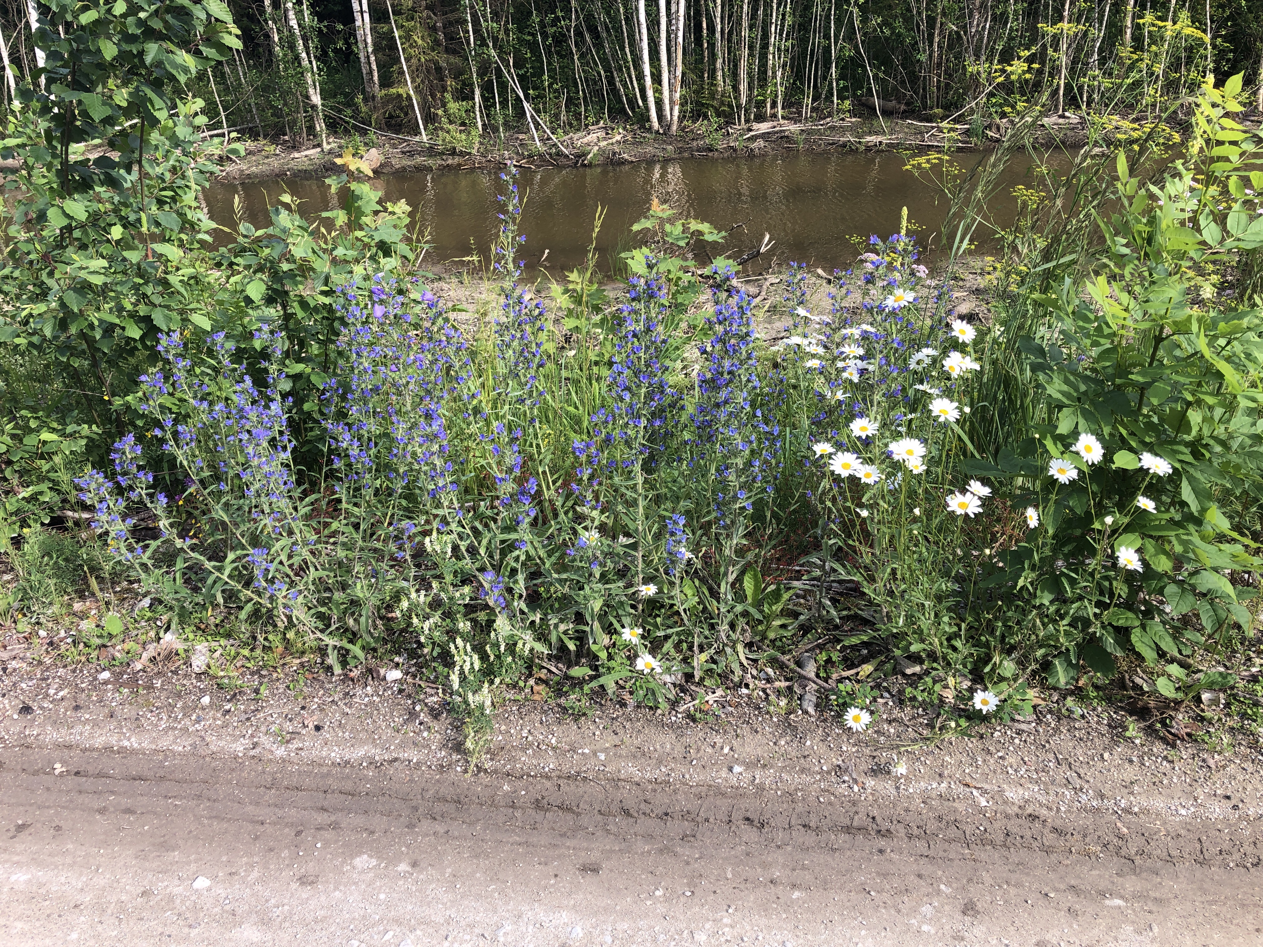 Kadaka, Sarve to Siimika
- Dystans
- 84 km
- Przewyższenia
- 2355 m
- Spadek
- 2309 m
- Lokalizacja
- Hullo, Läänemaa, Estonia
 Katleri, Таллин до Meeliku, Таллин
- Dystans
- 31 km
- Przewyższenia
- 218 m
- Spadek
- 220 m
- Lokalizacja
- Kose, Harjumaa, Estonia
Najważniejsze momenty
- Take a walk along Tallinn’s town wall and have a coffee on the town square surrounded by merchants’ houses.
- If you’re visiting Estonia in February, you should definitely try the vastlakukkel pastry, a soft wheat bun with cream, which is eaten at Vastlapäev. On this holiday, sledding determined how good this year’s harvest would be - the farther you sled, the better.
- You can stroll through the tranquil nature on wooden paths in the Kakerdaja bog in Kõrvemaa nature reserve. Here is also a lake you can for a swim in. However, there is a creepy story to the lake: Here, the Estonians sacrificed humans to their gods.
Wskazówki
- The Eurovélo routes 10, 11 and 13 pass through Estonia. Route 10 runs along the Estonian coast and also passes over the islands Muhu, Saaremaa and Hiiumaa, whereas route 11 crosses through the country. Route 13 follows the Iron Curtain trail.
- Those who want to can participate in one of Estonia’s many bike competitions. In the Tartu Rattaralli, eastern Europe’s biggest bike event, half of participants are children whereas the Mulgi cycling marathon passes through a southern Estonian city and takes place annually.
- Estonia is very flat and as long you’re not cycling on the main traffic roads, there won’t be much traffic. You might be on the move without encountering anybody due to the low population density (28 inhabitants per square kilometre).
Zobacz, gdzie ludzie jeżdżą na rowerze w Estonia
Popularne regiony do jazdy na rowerze w Estonia


