Arlington na rowerze
Odkrywaj mapę z 409 trasami rowerowymi i szlakami w pobliżu Arlington, stworzonymi przez naszą społeczność.
Portret regionu
Poznaj Arlington
Znajdź odpowiednią trasę rowerową dla siebie w Arlington – mamy tam 409 tras do odkrycia. Większość osób wybiera się tutaj na rower w miesiącach Czerwiec i Lipiec.
11 303 km
Zarejestrowany dystans
409
Trasy rowerowe
42 844
Populacja
Wspólnota
Najaktywniejsi użytkownicy w Arlington
Od naszej społeczności
Najlepsze trasy rowerowe w Arlington i okolicach
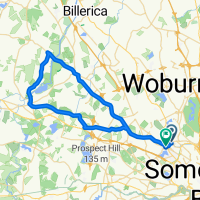
Walden Pond Loop From Hunnewell Hill
Trasa rowerowa w Arlington, Massachusetts, USA
- 63,9 km
- Dystans
- 506 m
- Przewyższenia
- 482 m
- Spadek
Cambridge to Gore Place
Trasa rowerowa w Arlington, Massachusetts, USA
- 10,5 km
- Dystans
- 68 m
- Przewyższenia
- 57 m
- Spadek
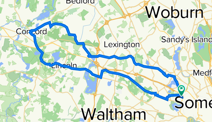
Walden Pond - Walden Pond
Trasa rowerowa w Arlington, Massachusetts, USA
- 46,6 km
- Dystans
- 459 m
- Przewyższenia
- 458 m
- Spadek
Walden Pond + deCordova
Trasa rowerowa w Arlington, Massachusetts, USA
- 44,4 km
- Dystans
- 228 m
- Przewyższenia
- 228 m
- Spadek
Odkryj więcej tras
 Arlington Lexington Burlington Woburn Winchester Loop
- Dystans
- 25,3 km
- Przewyższenia
- 108 m
- Spadek
- 108 m
- Lokalizacja
- Arlington, Massachusetts, USA
 Cambridge Watertown Loop
- Dystans
- 43,8 km
- Przewyższenia
- 244 m
- Spadek
- 244 m
- Lokalizacja
- Arlington, Massachusetts, USA
 Minuteman Loop
- Dystans
- 45,1 km
- Przewyższenia
- 344 m
- Spadek
- 346 m
- Lokalizacja
- Arlington, Massachusetts, USA
 Harvard Groton loop
- Dystans
- 125,7 km
- Przewyższenia
- 807 m
- Spadek
- 817 m
- Lokalizacja
- Arlington, Massachusetts, USA
 Strawberry Hill Curve street Loop CLONED FROM ROUTE 183722
- Dystans
- 57,5 km
- Przewyższenia
- 315 m
- Spadek
- 305 m
- Lokalizacja
- Arlington, Massachusetts, USA
 Lynn Beach
- Dystans
- 33,7 km
- Przewyższenia
- 163 m
- Spadek
- 214 m
- Lokalizacja
- Arlington, Massachusetts, USA
 End of the Bike Path and Back
- Dystans
- 27,8 km
- Przewyższenia
- 4 m
- Spadek
- 18 m
- Lokalizacja
- Arlington, Massachusetts, USA
 Arlington - Carlyle Loop
- Dystans
- 46,8 km
- Przewyższenia
- 201 m
- Spadek
- 192 m
- Lokalizacja
- Arlington, Massachusetts, USA
Trasy z Arlington
Szybka przejażdżka rowerowa od
Z Arlington do Cambridge


