


Acadia-Shenadoah on the East Coast Greenway
- 1915,7 km
- 1619 m
- 1003 m
- Tremont, Maine, USA

Znajdź odpowiednią trasę rowerową dla siebie w Tremont – mamy tam 23 tras do odkrycia.
Zarejestrowany dystans
Trasy rowerowe
Populacja
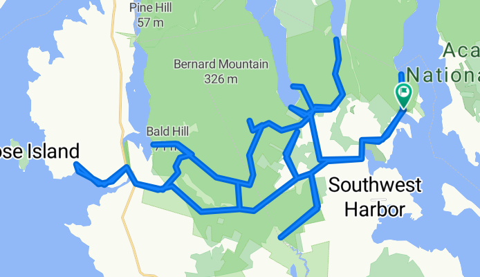
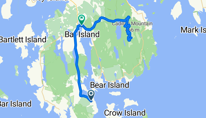
Trasa rowerowa w Tremont, Maine, USA
Trasa rowerowa w Tremont, Maine, USA
Trasa rowerowa w Tremont, Maine, USA
Trasa rowerowa w Tremont, Maine, USA


