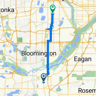
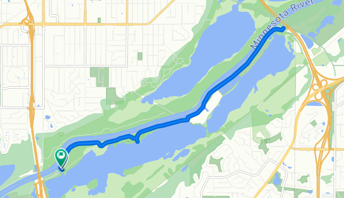
Bloomington to Bluff Trail, Bloomington
- 13,3 km
- 13 m
- 9 m
- Burnsville, Minnesota, USA

Odkrywaj mapę z 174 trasami rowerowymi i szlakami w pobliżu Burnsville, stworzonymi przez naszą społeczność.
Portret regionu
Znajdź odpowiednią trasę rowerową dla siebie w Burnsville – mamy tam 174 tras do odkrycia. Większość osób wybiera się tutaj na rower w miesiącach Czerwiec i Sierpień.
3765 km
Zarejestrowany dystans
174
Trasy rowerowe
60 306
Populacja
Wspólnota
Od naszej społeczności


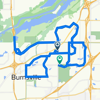
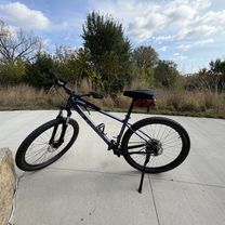
Trasa rowerowa w Burnsville, Minnesota, USA


Trasa rowerowa w Burnsville, Minnesota, USA

Trasa rowerowa w Burnsville, Minnesota, USA

Trasa rowerowa w Burnsville, Minnesota, USA
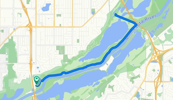
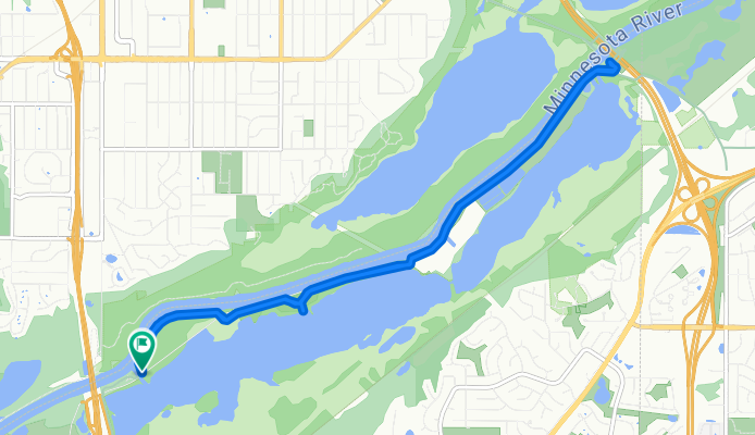
Jednodniowa wycieczka rowerowa od
Jednodniowa wycieczka rowerowa od