Handsome Cycles
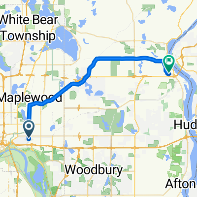
- 38,6 km
- 280 m
- 300 m
- Maplewood, Minnesota, USA

Odkrywaj mapę z 62 trasami rowerowymi i szlakami w pobliżu Maplewood, stworzonymi przez naszą społeczność.
Portret regionu
Znajdź odpowiednią trasę rowerową dla siebie w Maplewood – mamy tam 62 tras do odkrycia. Większość osób wybiera się tutaj na rower w miesiącach Lipiec i Sierpień.
1098 km
Zarejestrowany dystans
62
Trasy rowerowe
38 018
Populacja
Od naszej społeczności
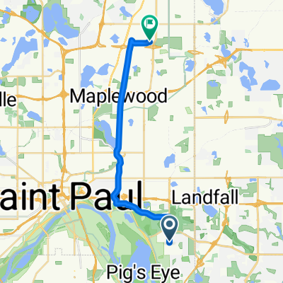
Trasa rowerowa w Maplewood, Minnesota, USA
Trasa rowerowa w Maplewood, Minnesota, USA
Trasa rowerowa w Maplewood, Minnesota, USA
Garmin VIVOACTIVE3®
Trasa rowerowa w Maplewood, Minnesota, USA