
Ogdensburg na rowerze
Odkrywaj mapę z 47 trasami rowerowymi i szlakami w pobliżu Ogdensburg, stworzonymi przez naszą społeczność.
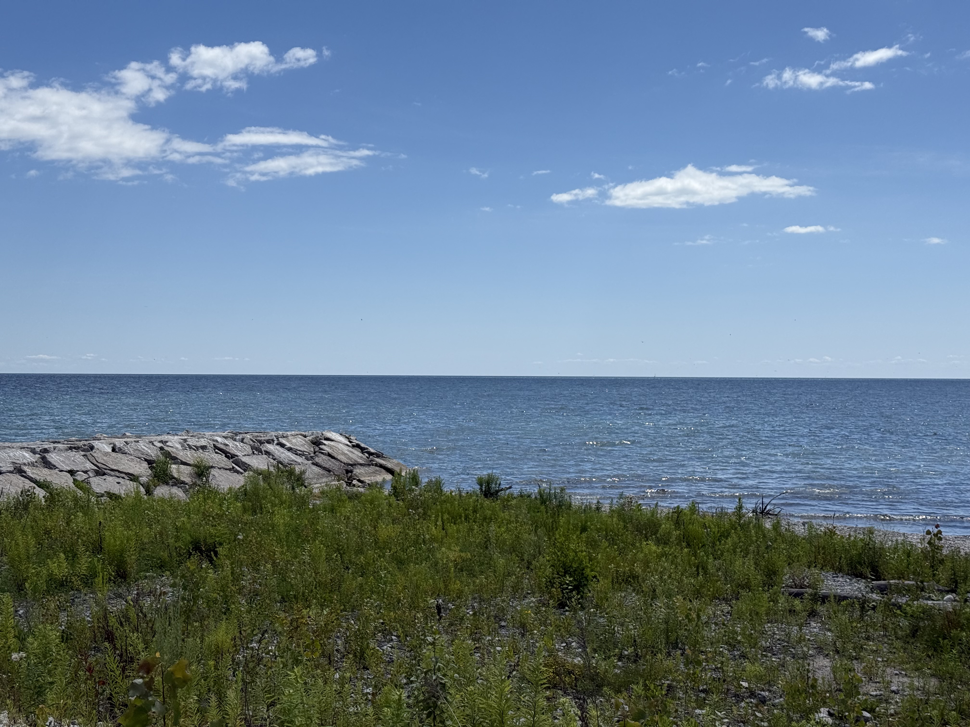
Portret regionu
Poznaj Ogdensburg
Znajdź odpowiednią trasę rowerową dla siebie w Ogdensburg – mamy tam 47 tras do odkrycia.
3849 km
Zarejestrowany dystans
47
Trasy rowerowe
11 128
Populacja
Wspólnota
Najaktywniejsi użytkownicy w Ogdensburg


Od naszej społeczności
Najlepsze trasy rowerowe w Ogdensburg i okolicach

Spencerville for Cinnamon Buns
Trasa rowerowa w Ogdensburg, Nowy Jork, USA
Flat early-autumn ride from Brockville to Spencerville and return. Great cinnamon buns in Spencerville! Actual elevation gain was 463m (as measured by Garmin Edge 705).
- 79,5 km
- Dystans
- 215 m
- Przewyższenia
- 195 m
- Spadek

Brockville Tour de Chercher les Collines
Trasa rowerowa w Ogdensburg, Nowy Jork, USA
82 km ride starting/ending in downtown Brockville, in search of hills in the eastern edge of the Frontenac Arch.
- 82,1 km
- Dystans
- 243 m
- Przewyższenia
- 238 m
- Spadek

Brockville: Socialist Pig Coffee Run
Trasa rowerowa w Ogdensburg, Nowy Jork, USA
A longer yet simple out'n'back ride from downtown Brockville to the Socialist Pig in Gananoque for great coffee.
The outbound route follows Cty Rd 2 all the way. The return route can simply retrace that route or, depending on time of day and season, return along the 1000 Islands Parkway corridor.
Caution: the 1000 Islands Parkway can be busy with tour buses, RVs, boat trailers and other traffic, especially on summer weekends or peak vacation weeks. Cty Rd 2 is a much more relaxing, if less scenic, ride.
- 103,9 km
- Dystans
- 159 m
- Przewyższenia
- 159 m
- Spadek

Vuelta a Charleston Lake
Trasa rowerowa w Ogdensburg, Nowy Jork, USA
Starting/ending on the west end of Brockville, this route circumnavigates Charleston Lake, traversing classic Frontenac Arch landscape.
Note: Not a good idea to do this route on the Friday or Monday afternoon around a long weekend, due to traffic on Outlet Road (CR #3) on the west side of Charleston Lake, especially near the Provincial Park.
- 108,3 km
- Dystans
- 424 m
- Przewyższenia
- 412 m
- Spadek
Odkryj więcej tras
 Brockville Tour de Gananoque
- Dystans
- 115,2 km
- Przewyższenia
- 168 m
- Spadek
- 166 m
- Lokalizacja
- Ogdensburg, Nowy Jork, USA
 Junetown Jaunt
- Dystans
- 70,8 km
- Przewyższenia
- 178 m
- Spadek
- 176 m
- Lokalizacja
- Ogdensburg, Nowy Jork, USA
 NE from Brockville - N Augusta and Charleville
- Dystans
- 60,3 km
- Przewyższenia
- 158 m
- Spadek
- 144 m
- Lokalizacja
- Ogdensburg, Nowy Jork, USA
 Brockville - N Augusta - Spencerville Loop
- Dystans
- 90,1 km
- Przewyższenia
- 216 m
- Spadek
- 198 m
- Lokalizacja
- Ogdensburg, Nowy Jork, USA
 Brockville to Spencerville for Cinnamon Buns
- Dystans
- 83 km
- Przewyższenia
- 198 m
- Spadek
- 175 m
- Lokalizacja
- Ogdensburg, Nowy Jork, USA
 Athens-NAugusta Loop 90km
- Dystans
- 91,3 km
- Przewyższenia
- 227 m
- Spadek
- 227 m
- Lokalizacja
- Ogdensburg, Nowy Jork, USA
 Brockville-Rockport for coffee 79km
- Dystans
- 78,9 km
- Przewyższenia
- 217 m
- Spadek
- 217 m
- Lokalizacja
- Ogdensburg, Nowy Jork, USA
 Tour de Merrickville
- Dystans
- 115,5 km
- Przewyższenia
- 164 m
- Spadek
- 142 m
- Lokalizacja
- Ogdensburg, Nowy Jork, USA