Wellsboro na rowerze
Odkrywaj mapę z 33 trasami rowerowymi i szlakami w pobliżu Wellsboro, stworzonymi przez naszą społeczność.
Portret regionu
Poznaj Wellsboro
Znajdź odpowiednią trasę rowerową dla siebie w Wellsboro – mamy tam 33 tras do odkrycia.
2112 km
Zarejestrowany dystans
33
Trasy rowerowe
3263
Populacja
Wspólnota
Najaktywniejsi użytkownicy w Wellsboro
Starannie wybrane trasy
Odkryj Wellsboro dzięki tym kolekcjom
Wycieczka
Od naszej społeczności
Najlepsze trasy rowerowe w Wellsboro i okolicach
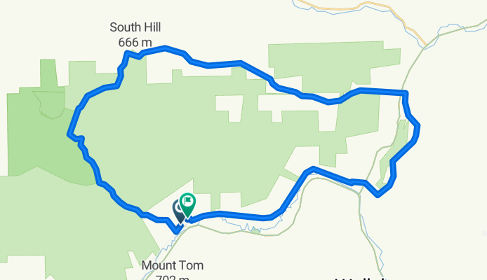
Marsh Creek Road to Marsh Creek Road via Muck
Trasa rowerowa w Wellsboro, Pensylwania, USA
- 40,8 km
- Dystans
- 565 m
- Przewyższenia
- 563 m
- Spadek
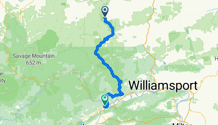
The Ladle - Day 2 - Ascension Awaits
Trasa rowerowa w Wellsboro, Pensylwania, USA
- 95,4 km
- Dystans
- 1164 m
- Przewyższenia
- 1301 m
- Spadek
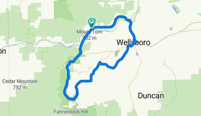
Marsh Creek Road to Marsh Creek Road
Trasa rowerowa w Wellsboro, Pensylwania, USA
- 56,6 km
- Dystans
- 556 m
- Przewyższenia
- 545 m
- Spadek
Laurel Flyer Road Race
Trasa rowerowa w Wellsboro, Pensylwania, USA
- 38,2 km
- Dystans
- 493 m
- Przewyższenia
- 478 m
- Spadek
Odkryj więcej tras
 PA Grand Canyon Rail to Trail
- Dystans
- 16,1 km
- Przewyższenia
- 80 m
- Spadek
- 126 m
- Lokalizacja
- Wellsboro, Pensylwania, USA
 pine creek rail trail, pa.
- Dystans
- 87,4 km
- Przewyższenia
- 954 m
- Spadek
- 1137 m
- Lokalizacja
- Wellsboro, Pensylwania, USA
 FTO2 - Day 3
- Dystans
- 61,7 km
- Przewyższenia
- 508 m
- Spadek
- 599 m
- Lokalizacja
- Wellsboro, Pensylwania, USA
 Pine Creek Trail
- Dystans
- 100,9 km
- Przewyższenia
- 339 m
- Spadek
- 515 m
- Lokalizacja
- Wellsboro, Pensylwania, USA
 Grand Canyon of Pennsylvania wrong direction
- Dystans
- 14,1 km
- Przewyższenia
- 77 m
- Spadek
- 77 m
- Lokalizacja
- Wellsboro, Pensylwania, USA
 Pine Creek Rail Trail
- Dystans
- 102 km
- Przewyższenia
- 262 m
- Spadek
- 451 m
- Lokalizacja
- Wellsboro, Pensylwania, USA
 4758 US-6, Wellsboro to Colton Rd, Wellsboro
- Dystans
- 31 km
- Przewyższenia
- 794 m
- Spadek
- 604 m
- Lokalizacja
- Wellsboro, Pensylwania, USA
 Wellsboro to Lake Ontario
- Dystans
- 369,7 km
- Przewyższenia
- 985 m
- Spadek
- 1299 m
- Lokalizacja
- Wellsboro, Pensylwania, USA

