
Mission Canyon na rowerze
Odkrywaj mapę z 134 trasami rowerowymi i szlakami w pobliżu Mission Canyon, stworzonymi przez naszą społeczność.
Portret regionu
Poznaj Mission Canyon
Znajdź odpowiednią trasę rowerową dla siebie w Mission Canyon – mamy tam 134 tras do odkrycia. Większość osób wybiera się tutaj na rower w miesiącach Maj i Sierpień.
4257 km
Zarejestrowany dystans
134
Trasy rowerowe
2381
Populacja
Wspólnota
Najaktywniejsi użytkownicy w Mission Canyon


Od naszej społeczności
Najlepsze trasy rowerowe w Mission Canyon i okolicach

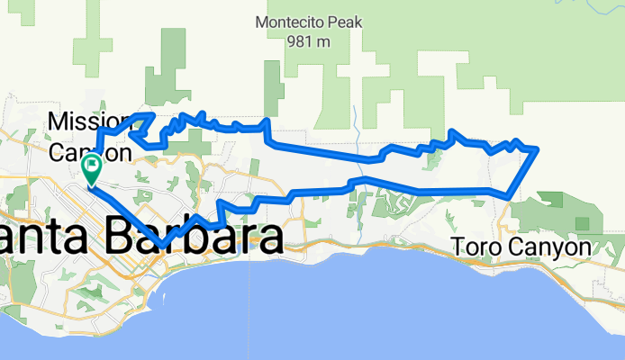
Santa Barbara Thirty
Trasa rowerowa w Mission Canyon, Kalifornia, USA
- 48,5 km
- Dystans
- 423 m
- Przewyższenia
- 423 m
- Spadek

La Cumbre
Trasa rowerowa w Mission Canyon, Kalifornia, USA
- 49,5 km
- Dystans
- 1311 m
- Przewyższenia
- 1313 m
- Spadek
Santa Barbara / Montecito foothills loop CLONED FROM ROUTE 552049
Trasa rowerowa w Mission Canyon, Kalifornia, USA
- 42,4 km
- Dystans
- 715 m
- Przewyższenia
- 715 m
- Spadek

Santa Barbara Ridge Route
Trasa rowerowa w Mission Canyon, Kalifornia, USA
- 46,7 km
- Dystans
- 1325 m
- Przewyższenia
- 1317 m
- Spadek
Odkryj więcej tras
 Elings Park Loop
- Dystans
- 16,6 km
- Przewyższenia
- 218 m
- Spadek
- 219 m
- Lokalizacja
- Mission Canyon, Kalifornia, USA
 Josh's Route from Home to UCSB
- Dystans
- 8,6 km
- Przewyższenia
- 31 m
- Spadek
- 54 m
- Lokalizacja
- Mission Canyon, Kalifornia, USA
 4100–4136 Lago Dr, Santa Barbara to 2201 Laguna St, Santa Barbara
- Dystans
- 7 km
- Przewyższenia
- 97 m
- Spadek
- 55 m
- Lokalizacja
- Mission Canyon, Kalifornia, USA
 Gibraltar
- Dystans
- 8,6 km
- Przewyższenia
- 86 m
- Spadek
- 524 m
- Lokalizacja
- Mission Canyon, Kalifornia, USA
 DISSCH Santa Barbara - Las Vegas
- Dystans
- 567,8 km
- Przewyższenia
- 2681 m
- Spadek
- 2083 m
- Lokalizacja
- Mission Canyon, Kalifornia, USA
 Santa Barbara Big 32 miles
- Dystans
- 52,2 km
- Przewyższenia
- 694 m
- Spadek
- 700 m
- Lokalizacja
- Mission Canyon, Kalifornia, USA
 Home to Gym
- Dystans
- 2,2 km
- Przewyższenia
- 9 m
- Spadek
- 12 m
- Lokalizacja
- Mission Canyon, Kalifornia, USA
 5/28/23 late afternoon bikey
- Dystans
- 20,8 km
- Przewyższenia
- 199 m
- Spadek
- 190 m
- Lokalizacja
- Mission Canyon, Kalifornia, USA