
Montclair na rowerze
Odkrywaj mapę z 65 trasami rowerowymi i szlakami w pobliżu Montclair, stworzonymi przez naszą społeczność.
Portret regionu
Poznaj Montclair
Znajdź odpowiednią trasę rowerową dla siebie w Montclair – mamy tam 65 tras do odkrycia. Większość osób wybiera się tutaj na rower w miesiącach Maj i Sierpień.
1256 km
Zarejestrowany dystans
65
Trasy rowerowe
36 664
Populacja
Wspólnota
Najaktywniejsi użytkownicy w Montclair


Od naszej społeczności
Najlepsze trasy rowerowe w Montclair i okolicach

ontario warm up
Trasa rowerowa w Montclair, Kalifornia, USA
- 12,9 km
- Dystans
- 35 m
- Przewyższenia
- 35 m
- Spadek

Carbon Canyon Regional Park
Trasa rowerowa w Montclair, Kalifornia, USA
THIS IS A ROUTE FOR ROAD BIKES !!
This route is good when you want to work on climbing and recovery reps.
I left my Apex mountain bike at home for this one and hopped on the Allez Elite for a day of climbing.
The run starts out with an easy quick pace going downhill all the way to Pipeline and Chino Hills Parkway. There begins a gradual climb until you reach Carbon Canyon Road, and that is where you begin the mountain climb. Rolling Hills all the way to Carbon Canyon park, so pace yourself and stay well hydrated.
This ride is approx 31 miles roundtrip. Safe-for Ipod use.
- 49,6 km
- Dystans
- 430 m
- Przewyższenia
- 430 m
- Spadek
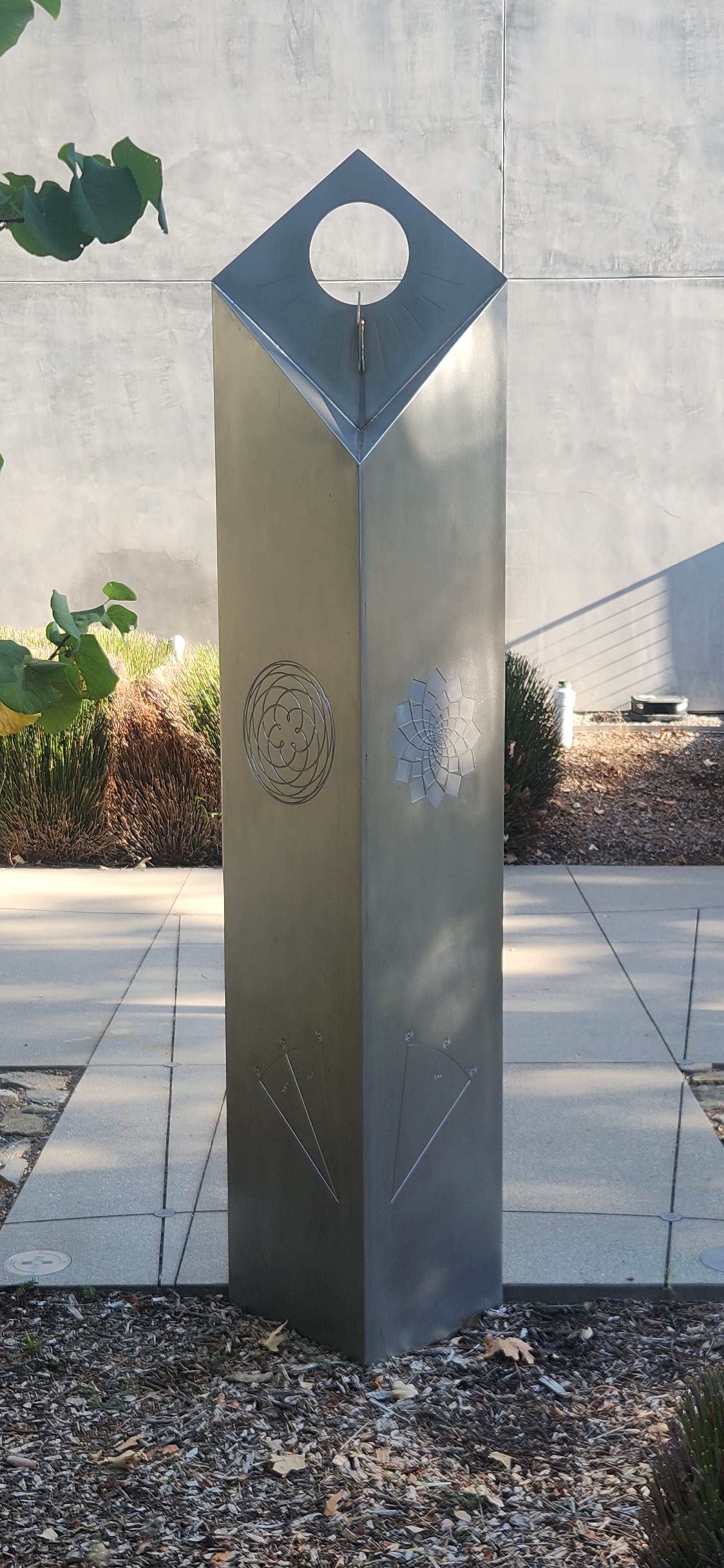
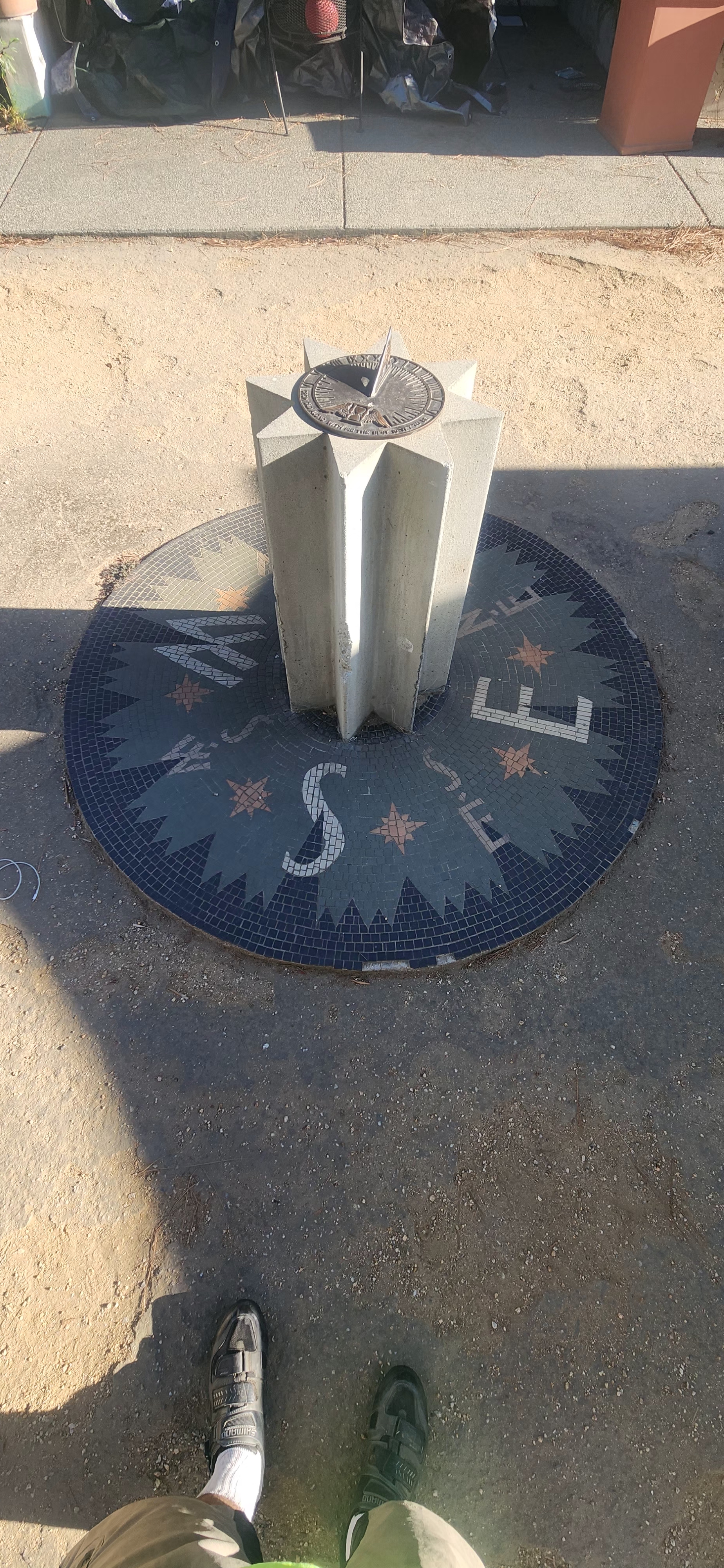
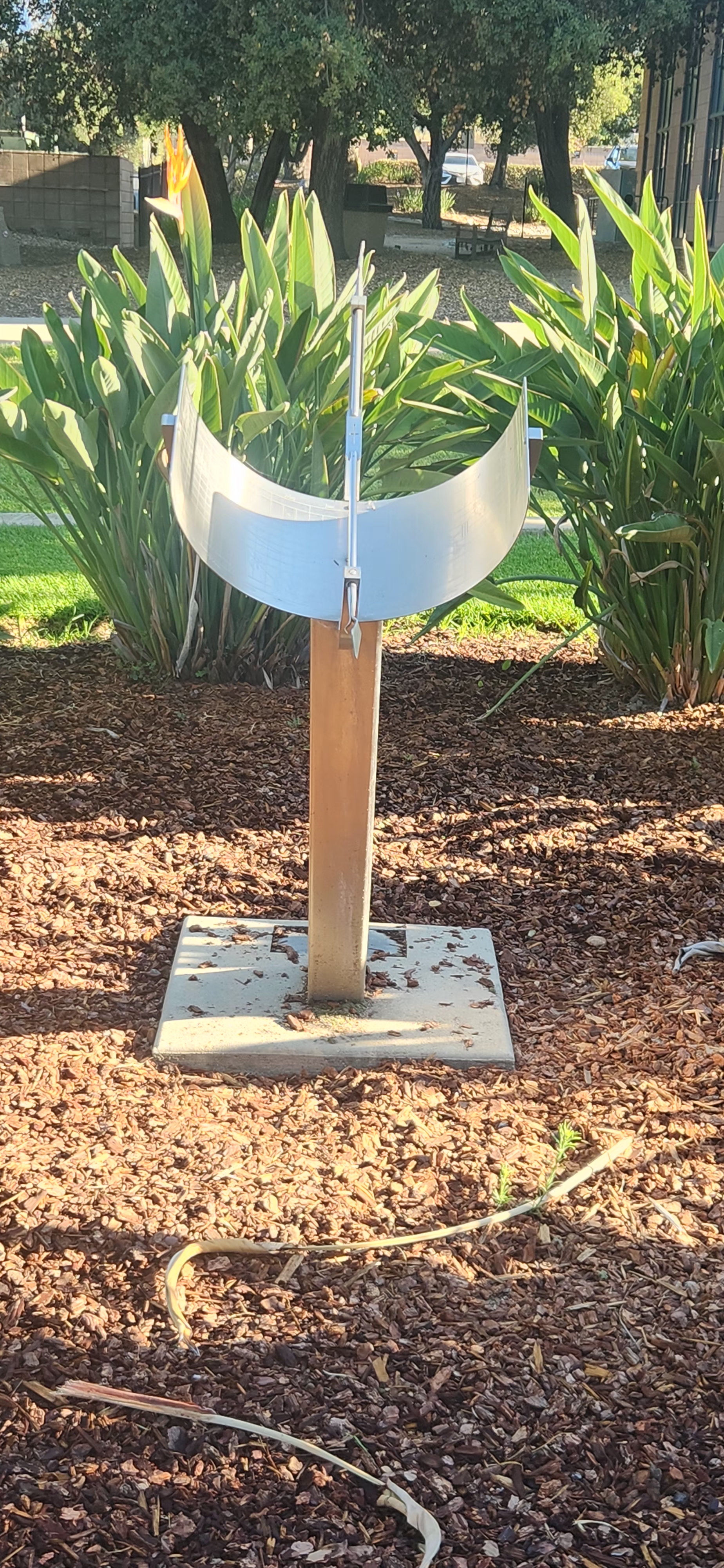
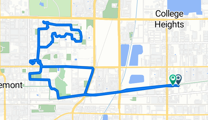
Claremont colleges sun dial tour
Trasa rowerowa w Montclair, Kalifornia, USA
- 10,5 km
- Dystans
- 147 m
- Przewyższenia
- 116 m
- Spadek

Pacific Electric Trail - Round Trip
Trasa rowerowa w Montclair, Kalifornia, USA
This trip starts out in Chino then goes thru Montclair and then into Claremont. There you enter the Pacific Electric trailhead. The trail will take you thru Upland, Rancho Cucamonga, Fontana, and finally ends in Rialto. After a brief break it's time to head all the way back. A very good ride for training with some elevation mixed in the miles.
This ride is approx 50 miles roundtrip, and a safe-for-Ipod run.
- 79,9 km
- Dystans
- 220 m
- Przewyższenia
- 221 m
- Spadek
Odkryj więcej tras
 A Ride to Central Park in Rancho Cucamonga
- Dystans
- 40,3 km
- Przewyższenia
- 221 m
- Spadek
- 221 m
- Lokalizacja
- Montclair, Kalifornia, USA
 Route 66 Trailhead
- Dystans
- 26 km
- Przewyższenia
- 126 m
- Spadek
- 124 m
- Lokalizacja
- Montclair, Kalifornia, USA
 Ontario International Airport Loop
- Dystans
- 38,5 km
- Przewyższenia
- 99 m
- Spadek
- 101 m
- Lokalizacja
- Montclair, Kalifornia, USA
 Urban Bike Route
- Dystans
- 22,3 km
- Przewyższenia
- 76 m
- Spadek
- 76 m
- Lokalizacja
- Montclair, Kalifornia, USA
 Red Hill Park
- Dystans
- 18 km
- Przewyższenia
- 55 m
- Spadek
- 54 m
- Lokalizacja
- Montclair, Kalifornia, USA
 Kimball Park
- Dystans
- 13,6 km
- Przewyższenia
- 36 m
- Spadek
- 34 m
- Lokalizacja
- Montclair, Kalifornia, USA
 Olive Street 4948, Montclair to North Campus Avenue 379, Upland
- Dystans
- 6 km
- Przewyższenia
- 29 m
- Spadek
- 351 m
- Lokalizacja
- Montclair, Kalifornia, USA
 Olive Street 4948, Montclair to Olive Street 4948, Montclair
- Dystans
- 29,9 km
- Przewyższenia
- 88 m
- Spadek
- 80 m
- Lokalizacja
- Montclair, Kalifornia, USA