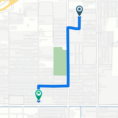
Jak może wyglądać jazda na rowerze w Billings Metropolitan Area.

Billings Metropolitan Area na rowerze

Odkrywaj mapę z 89 trasami rowerowymi i szlakami w pobliżu Billings Metropolitan Area, stworzonymi przez naszą społeczność.

Portret regionu

Poznaj Billings Metropolitan Area

Znajdź odpowiednią trasę rowerową dla siebie w Billings Metropolitan Area – mamy tam 89 tras do odkrycia. Większość osób wybiera się tutaj na rower w miesiącach Czerwiec i Lipiec.

8920 km

Zarejestrowany dystans

89

Trasy rowerowe

104 170

Populacja

Wspólnota

Najaktywniejsi użytkownicy w Billings Metropolitan Area

Od naszej społeczności

Najlepsze trasy rowerowe w Billings Metropolitan Area i okolicach

Billings, MT to Salt Lake City, UT
Rower szosowy
Tyler Sitte
0

Billings, MT to Salt Lake City, UT

Trasa rowerowa w Billings Metropolitan Area, Montana, United States of America

This should have been a great trip, but things seem to go wrong at every turn, mostly due to poor planning on my part.  First off, I made the mistake of traveling SW, which gave me headwinds almost the entire trip.  Second, I made the trip in early September, and so was met by a murderous hail storm the first day.  The hail that greeted me was snow at higher elevations, and so when I finally arrived at Red Lodge I was informed that the northern entrance into Yellowstone was closed as the road was now impassable.  This forced a diversion eastwards to Cody.  The eastern entrance, coming from that direction, was open, but the winds coming from the west were among the strongest I have ever encountered.  The route through Yellowstone and Jackson Hole, continueing down through the Snake River Canyon to Alpine was excellent, and the weather held.  (But still strong headwinds).  However when I reached Geneva, UT, the road that would have taken me west through Montpelier and on out to Logan was closed.  So, another diversion southwards down to Evanston, WY.  Unfortunately, the only way to get from Evantson to Salt Lake was to cycle Interstate 80: noise, grime, uncomfortably close traffic -- and, to top it off, I got hit with another snow storm about two hours into that final day's ride.  There was nothing to do but to slug it out, but it made for an extra dangerous (slippery, with virtually non-functioning brakes) and icy cold day.  Note to self: Next time, start at Salt Lake and work way NE to Montana.
511,1 km
Dystans
3456 m
Przewyższenia
2656 m
Spadek
Day 8 Lag 2
Rower miejskiUtwardzony
John piper
0

Day 8 Lag 2

Trasa rowerowa w Billings Metropolitan Area, Montana, United States of America

nice ride stoped for lunch met some nice people let us spened the night with one of our riders who rides faster than us lost out
102,4 km
Dystans
96 m
Przewyższenia
268 m
Spadek
Billings, MT to Salt Lake City, UT
Rower szosowyUtwardzony
MerryCrankster
1

Billings, MT to Salt Lake City, UT

Trasa rowerowa w Billings Metropolitan Area, Montana, United States of America

This should have been a great trip, but things seem to go wrong at every turn, mostly due to poor planning on my part.  First off, I made the mistake of traveling SW, which gave me headwinds almost the entire trip.  Second, I made the trip in early September, and so was met by a murderous hail storm the first day.  The hail that greeted me was snow at higher elevations, and so when I finally arrived at Red Lodge I was informed that the northern entrance into Yellowstone was closed as the road was now impassable.  This forced a diversion eastwards to Cody.  The eastern entrance, coming from that direction, was open, but the winds coming from the west were among the strongest I have ever encountered.  The route through Yellowstone and Jackson Hole, continueing down through the Snake River Canyon to Alpine was excellent, and the weather held.  (But still strong headwinds).  However when I reached Geneva, UT, the road that would have taken me west through Montpelier and on out to Logan was closed.  So, another diversion southwards down to Evanston, WY.  Unfortunately, the only way to get from Evantson to Salt Lake was to cycle Interstate 80: noise, grime, uncomfortably close traffic -- and, to top it off, I got hit with another snow storm about two hours into that final day's ride.  There was nothing to do but to slug it out, but it made for an extra dangerous (slippery, with virtually non-functioning brakes) and icy cold day.  Note to self: Next time, start at Salt Lake and work way NE to Montana.
984,6 km
Dystans
3198 m
Przewyższenia
2994 m
Spadek
swords park up black otter trail
Rower szosowyRower górskiRower miejskiUtwardzonyNieutwardzony
Dustin W. Newhall
0

swords park up black otter trail

Trasa rowerowa w Billings Metropolitan Area, Montana, United States of America

19 km
Dystans
188 m
Przewyższenia
189 m
Spadek

Odkryj więcej tras