Mandan na rowerze
Odkrywaj mapę z 5 trasami rowerowymi i szlakami w pobliżu Mandan, stworzonymi przez naszą społeczność.
Bądź pionierem
Zainspiruj innych rowerzystów swoją trasą w Mandan
Bikemap to globalna społeczność rowerowa z milionami tras tworzonych przez rowerzystów takich jak Ty. W Mandan jest na razie tylko kilka tras, więc narysuj swoje ulubione przejazdy na mapie, by pomóc innym odkryć najlepsze trasy.
Od naszej społeczności
Najlepsze trasy rowerowe w Mandan i okolicach
1st Street Southeast 801, Mandan to Westwood Street 1224, Bismarck
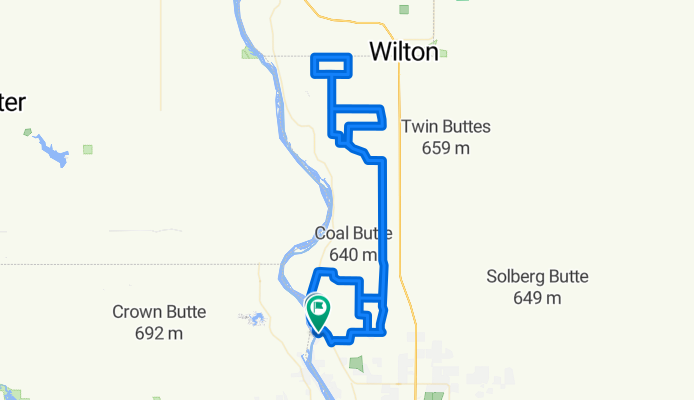
Trasa rowerowa w Mandan, Dakota Północna, USA
- 10,1 km
- Dystans
- 0 m
- Przewyższenia
- 20 m
- Spadek
BURLEIGH COUNTY CUP
Trasa rowerowa w Mandan, Dakota Północna, USA
- 121,7 km
- Dystans
- 582 m
- Przewyższenia
- 583 m
- Spadek
Docs, Crocs, and Frocks Bikers Rout
Trasa rowerowa w Mandan, Dakota Północna, USA
- 32,1 km
- Dystans
- 139 m
- Przewyższenia
- 140 m
- Spadek
Docs, Crocs, Scholars and Frocks: Bike Route
Trasa rowerowa w Mandan, Dakota Północna, USA
- 15,5 km
- Dystans
- 112 m
- Przewyższenia
- 112 m
- Spadek


