- 7,2 km
- 63 m
- 39 m
- Harbor, Oregon, USA

Oregon na rowerze
Odkrywaj mapę z 11 630 trasami rowerowymi i szlakami w Oregon, stworzonymi przez naszą społeczność.
Portret regionu
Poznaj Oregon
Znajdź odpowiednią trasę rowerową dla siebie w Oregon – mamy tam 11 630 tras do odkrycia. Większość osób wybiera się tutaj na rower w miesiącach Lipiec i Sierpień.
654 370 km
Zarejestrowany dystans
11 630
Trasy rowerowe
Wspólnota
Najaktywniejsi użytkownicy w Oregon
Starannie wybrane trasy
Odkryj Oregon dzięki tym kolekcjom
 Wycieczka
- Wycieczka
- Wycieczka
 Wycieczka
Od naszej społeczności
Najlepsze trasy rowerowe w Oregon
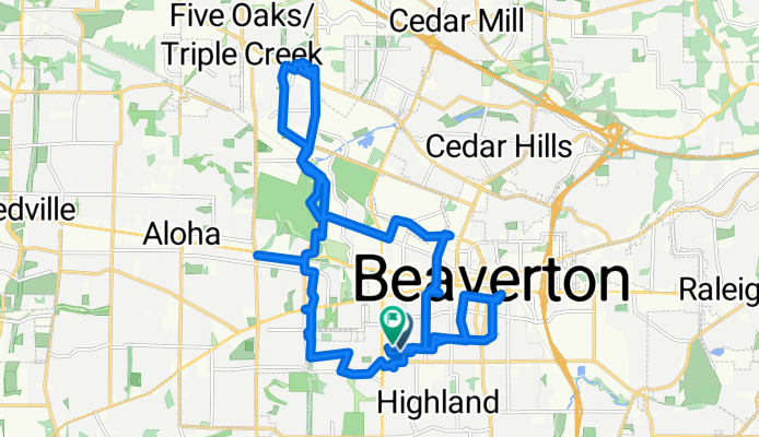
New Gears and Selling Stuff
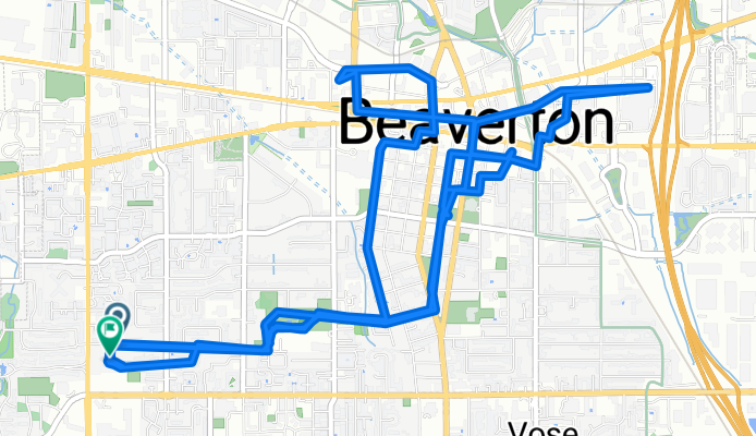
Trasa rowerowa w Beaverton, Oregon, USA
- 15,3 km
- Dystans
- 80 m
- Przewyższenia
- 78 m
- Spadek
Odkryj więcej tras
- Boat Basin Road to Boat Basin Road
- Boring Barton loop
- 77,9 km
- 485 m
- 485 m
- Lents, Oregon, USA
- eyeglasses ride
- 21,9 km
- 261 m
- 261 m
- Beaverton, Oregon, USA
- west to east 6 miler
- 12,8 km
- 145 m
- 143 m
- Salem, Oregon, USA
- Bay City to Main St, Bay City
- 5,8 km
- 44 m
- 31 m
- Bay City, Oregon, USA
- Klink Social Ride - South Loop cutoff
- 21,6 km
- 80 m
- 60 m
- Eugene, Oregon, USA
- SW Sweek Dr, Tualatin to SW Sweek Dr, Tualatin
- 10,2 km
- 39 m
- 43 m
- Tualatin, Oregon, USA
- Walk with Jan in Tualatin
- 11,9 km
- 71 m
- 67 m
- Tualatin, Oregon, USA
Regiony rowerowe w Oregon
Sandy
12 trasy rowerowe
Toledo
2 trasy rowerowe
Creswell
6 trasy rowerowe
Hillsboro
105 trasy rowerowe
Clatskanie
3 trasy rowerowe
Zobacz, gdzie ludzie jeżdżą na rowerze w USA


