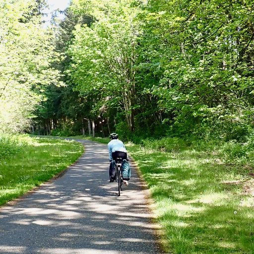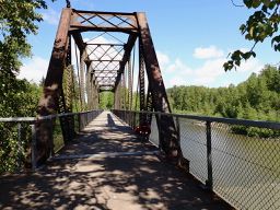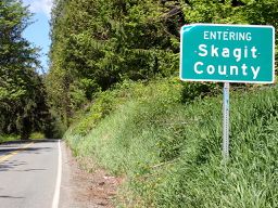
Marysville na rowerze
Odkrywaj mapę z 10 trasami rowerowymi i szlakami w pobliżu Marysville, stworzonymi przez naszą społeczność.
Portret regionu
Poznaj Marysville
Znajdź odpowiednią trasę rowerową dla siebie w Marysville – mamy tam 10 tras do odkrycia.
206 km
Zarejestrowany dystans
10
Trasy rowerowe
60 020
Populacja
Wspólnota
Najaktywniejsi użytkownicy w Marysville
Od naszej społeczności
Najlepsze trasy rowerowe w Marysville i okolicach
Marysville to Burlington
Trasa rowerowa w Marysville, Waszyngton, USA
- 69 km
- Dystans
- 499 m
- Przewyższenia
- 508 m
- Spadek
1–25 SR-529, Marysville to 1–25 SR-529, Marysville
Trasa rowerowa w Marysville, Waszyngton, USA
- 4,9 km
- Dystans
- 0 m
- Przewyższenia
- 3 m
- Spadek
Route to 4304–4398 Marine Dr, Tulalip
Trasa rowerowa w Marysville, Waszyngton, USA
- 13,5 km
- Dystans
- 147 m
- Przewyższenia
- 133 m
- Spadek
Odkryj więcej tras
 84th Dr NE, Marysville to 7708 20th St SE, Lake Stevens
- Dystans
- 11 km
- Przewyższenia
- 93 m
- Spadek
- 131 m
- Lokalizacja
- Marysville, Waszyngton, USA
 Recovered Route
- Dystans
- 2 km
- Przewyższenia
- 0 m
- Spadek
- 0 m
- Lokalizacja
- Marysville, Waszyngton, USA
 8508 55th Pl NE, Marysville to 8508 55th Pl NE, Marysville
- Dystans
- 40,5 km
- Przewyższenia
- 358 m
- Spadek
- 339 m
- Lokalizacja
- Marysville, Waszyngton, USA
 1509 Second St, Marysville to 6423 68th St NE, Marysville
- Dystans
- 3,8 km
- Przewyższenia
- 3 m
- Spadek
- 4 m
- Lokalizacja
- Marysville, Waszyngton, USA
 6430 68th St NE, Marysville to 1514 Third St, Marysville
- Dystans
- 3,9 km
- Przewyższenia
- 3 m
- Spadek
- 16 m
- Lokalizacja
- Marysville, Waszyngton, USA
 1716 Fourth St, Marysville to 3229 Hoyt Ave, Everett
- Dystans
- 10,8 km
- Przewyższenia
- 78 m
- Spadek
- 41 m
- Lokalizacja
- Marysville, Waszyngton, USA


