Anglia na rowerze
Odkrywaj mapę z 336 900 trasami rowerowymi i szlakami w Anglia, stworzonymi przez naszą społeczność.
Portret regionu
Poznaj Anglia
Znajdź odpowiednią trasę rowerową dla siebie w Anglia – mamy tam 336 900 tras do odkrycia. Większość osób wybiera się tutaj na rower w miesiącach Maj i Lipiec.
12 559 324 km
Zarejestrowany dystans
336 900
Trasy rowerowe
Wspólnota
Najaktywniejsi użytkownicy w Anglia
Starannie wybrane trasy
Odkryj Anglia dzięki tym kolekcjom
Od naszej społeczności
Najlepsze trasy rowerowe w Anglia
Cymru North Coast - DAY 2.zz
Trasa rowerowa w Hoole, Anglia, Zjednoczone Królestwo Wielkiej Brytanii
- 80 km
- Dystans
- 108 m
- Przewyższenia
- 125 m
- Spadek
Bxl - Londres J3 : Deal - Ramsgate - WestgateOnSea - Herne Bay - Whitstable
Trasa rowerowa w Deal, Anglia, Zjednoczone Królestwo Wielkiej Brytanii
- 59,1 km
- Dystans
- 105 m
- Przewyższenia
- 104 m
- Spadek
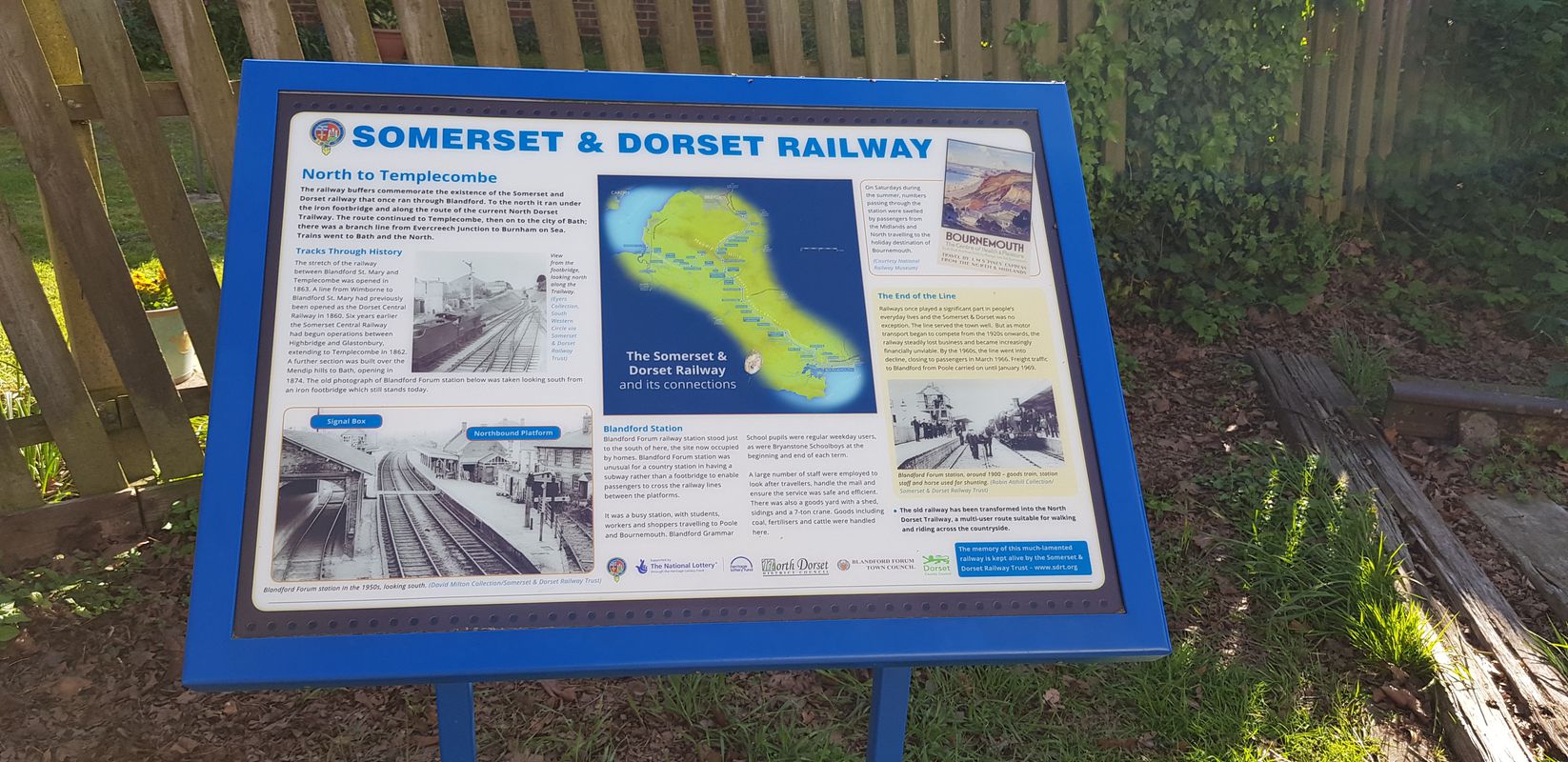
shillingstone to blandford
Trasa rowerowa w Sturminster Newton, Anglia, Zjednoczone Królestwo Wielkiej Brytanii
- 19,1 km
- Dystans
- 486 m
- Przewyższenia
- 468 m
- Spadek
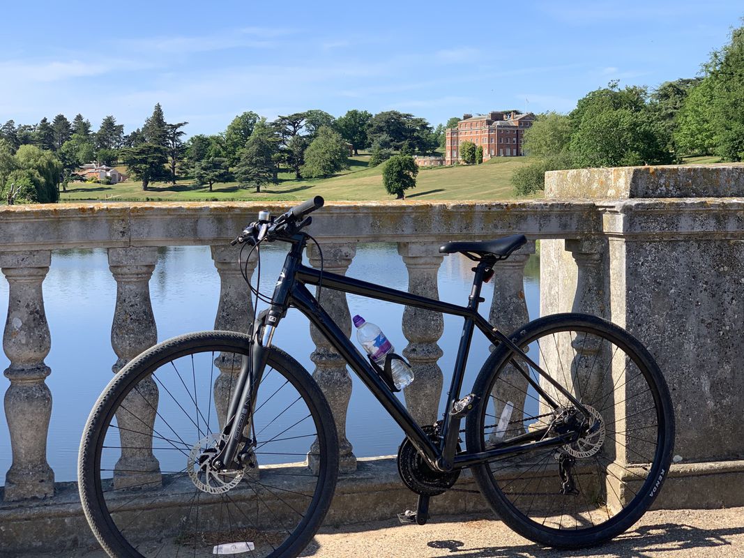
Aston Lane to Aston lane via fields, tracks, Brockett Hall Golf Course and nature reserve. nice.
Trasa rowerowa w Knebworth, Anglia, Zjednoczone Królestwo Wielkiej Brytanii
- 32,4 km
- Dystans
- 371 m
- Przewyższenia
- 369 m
- Spadek
Odkryj więcej tras
 Reddish Vale, Brinnington/Portwood, Stockport Road
- Dystans
- 12,4 km
- Przewyższenia
- 93 m
- Spadek
- 90 m
- Lokalizacja
- Burnage, Anglia, Zjednoczone Królestwo Wielkiej Brytanii
 Henley Thames Path 15 mile circuit.
- Dystans
- 26 km
- Przewyższenia
- 218 m
- Spadek
- 218 m
- Lokalizacja
- Wargrave, Anglia, Zjednoczone Królestwo Wielkiej Brytanii
 Kennet/Ramsbury
- Dystans
- 23,2 km
- Przewyższenia
- 230 m
- Spadek
- 232 m
- Lokalizacja
- Hungerford, Anglia, Zjednoczone Królestwo Wielkiej Brytanii
 A nice gentle circular ride taking in Woodbury, Tipton St John, Otterton and Exmouth
- Dystans
- 39,6 km
- Przewyższenia
- 304 m
- Spadek
- 323 m
- Lokalizacja
- Topsham, Anglia, Zjednoczone Królestwo Wielkiej Brytanii
 Hove Park to Bramber loop
- Dystans
- 49,4 km
- Przewyższenia
- 358 m
- Spadek
- 381 m
- Lokalizacja
- Hove, Anglia, Zjednoczone Królestwo Wielkiej Brytanii
 poppedoutforfruit
- Dystans
- 50,6 km
- Przewyższenia
- 499 m
- Spadek
- 541 m
- Lokalizacja
- Enfield Town, Anglia, Zjednoczone Królestwo Wielkiej Brytanii
 Girolibero: London-Paris
- Dystans
- 490,2 km
- Przewyższenia
- 733 m
- Spadek
- 703 m
- Lokalizacja
- City of Westminster, Anglia, Zjednoczone Królestwo Wielkiej Brytanii
 Epping forest ride
- Dystans
- 20,8 km
- Przewyższenia
- 214 m
- Spadek
- 214 m
- Lokalizacja
- Buckhurst Hill, Anglia, Zjednoczone Królestwo Wielkiej Brytanii
Regiony rowerowe w Anglia
Saint Neots
28 trasy rowerowe
Buckingham
49 trasy rowerowe
Romsey
179 trasy rowerowe
Thornton Dale
70 trasy rowerowe
Epsom
281 trasy rowerowe
Zobacz, gdzie ludzie jeżdżą na rowerze w Zjednoczone Królestwo Wielkiej Brytanii
Popularne regiony do jazdy na rowerze w Zjednoczone Królestwo Wielkiej Brytanii


