
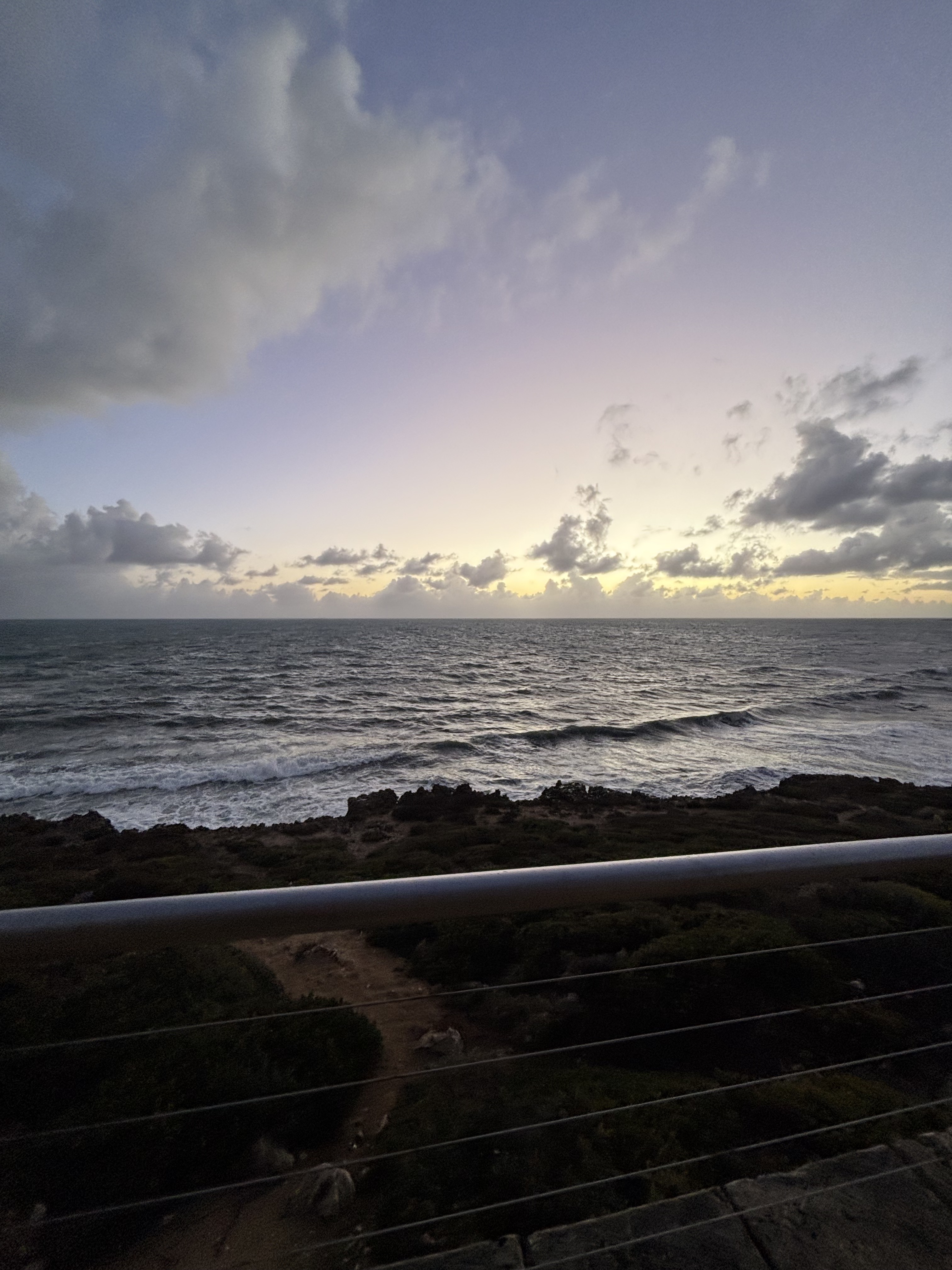
Hillarys na rowerze
Odkrywaj mapę z 102 trasami rowerowymi i szlakami w pobliżu Hillarys, stworzonymi przez naszą społeczność.
Portret regionu
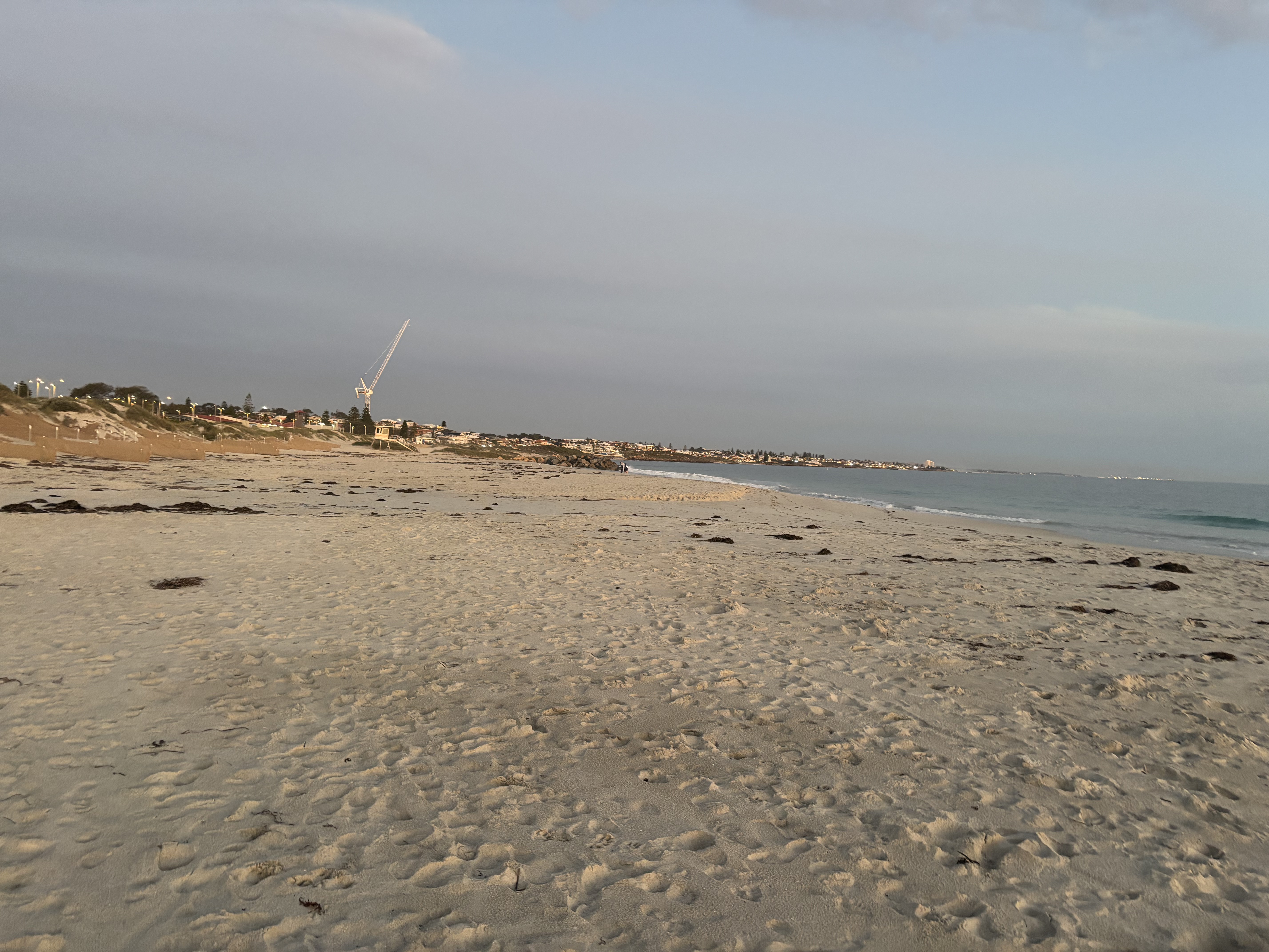
Poznaj Hillarys
Znajdź odpowiednią trasę rowerową dla siebie w Hillarys – mamy tam 102 tras do odkrycia. Większość osób wybiera się tutaj na rower w miesiącach Styczeń i Kwiecień.
4743 km
Zarejestrowany dystans
102
Trasy rowerowe
10 160
Populacja
Wspólnota
Najaktywniejsi użytkownicy w Hillarys


Od naszej społeczności
Najlepsze trasy rowerowe w Hillarys i okolicach


Hillaries, City, Mitchel Fwy Ride
Trasa rowerowa w Hillarys, Australia Zachodnia, Australia
- 68,8 km
- Dystans
- 374 m
- Przewyższenia
- 320 m
- Spadek


Hillaries, City, Subiaco, Burnsbeach Ride
Trasa rowerowa w Hillarys, Australia Zachodnia, Australia
- 73,5 km
- Dystans
- 479 m
- Przewyższenia
- 427 m
- Spadek

Centennial Gardens, Hillarys to Centennial Gardens, Hillarys
Trasa rowerowa w Hillarys, Australia Zachodnia, Australia
- 12,8 km
- Dystans
- 106 m
- Przewyższenia
- 109 m
- Spadek

Centennial Gardens, Hillarys to Centennial Gardens, Hillarys
Trasa rowerowa w Hillarys, Australia Zachodnia, Australia
- 15,3 km
- Dystans
- 84 m
- Przewyższenia
- 83 m
- Spadek
Odkryj więcej tras
 Northern Suburbs, Hillarys to 35 Ocean Pde, Iluka
- Dystans
- 12,2 km
- Przewyższenia
- 68 m
- Spadek
- 65 m
- Lokalizacja
- Hillarys, Australia Zachodnia, Australia
 Perth CBD via Kings Park loop
- Dystans
- 61,3 km
- Przewyższenia
- 264 m
- Spadek
- 260 m
- Lokalizacja
- Hillarys, Australia Zachodnia, Australia
 Joondalup Greenwood loop
- Dystans
- 44,4 km
- Przewyższenia
- 194 m
- Spadek
- 195 m
- Lokalizacja
- Hillarys, Australia Zachodnia, Australia
 Royal Street & Anaconda Innaloo
- Dystans
- 49 km
- Przewyższenia
- 227 m
- Spadek
- 211 m
- Lokalizacja
- Hillarys, Australia Zachodnia, Australia
 Urban Lair to ECU
- Dystans
- 14,8 km
- Przewyższenia
- 75 m
- Spadek
- 58 m
- Lokalizacja
- Hillarys, Australia Zachodnia, Australia
 Deverall Square 9, Hillarys to Fantome Road 9, Craigie
- Dystans
- 69 km
- Przewyższenia
- 264 m
- Spadek
- 240 m
- Lokalizacja
- Hillarys, Australia Zachodnia, Australia
 Deverall Square 9, Hillarys to Lakeside Drive 98, Joondalup
- Dystans
- 83,3 km
- Przewyższenia
- 351 m
- Spadek
- 296 m
- Lokalizacja
- Hillarys, Australia Zachodnia, Australia
 Southside Drive 28, Hillarys to Elliott Road 137, Scarborough
- Dystans
- 8,2 km
- Przewyższenia
- 67 m
- Spadek
- 23 m
- Lokalizacja
- Hillarys, Australia Zachodnia, Australia