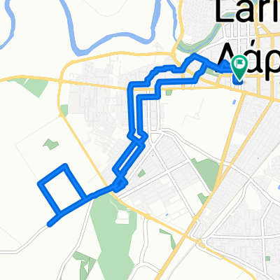
- 43,7 km
- 1733 m
- 850 m
- Kalampáka, Thessaly, Grecja

Thessaly na rowerze
Odkrywaj mapę z 1159 trasami rowerowymi i szlakami w Thessaly, stworzonymi przez naszą społeczność.
Portret regionu
Poznaj Thessaly
Znajdź odpowiednią trasę rowerową dla siebie w Thessaly – mamy tam 1 159 tras do odkrycia. Większość osób wybiera się tutaj na rower w miesiącach Maj i Czerwiec.
98 096 km
Zarejestrowany dystans
1159
Trasy rowerowe
Wspólnota
Najaktywniejsi użytkownicy w Thessaly
Starannie wybrane trasy
Odkryj Thessaly dzięki tym kolekcjom
- Wycieczka
- Wycieczka
Od naszej społeczności
Najlepsze trasy rowerowe w Thessaly
Pteleos - Velestino
Trasa rowerowa w Almiros, Thessaly, Grecja
- 55,1 km
- Dystans
- 590 m
- Przewyższenia
- 490 m
- Spadek
Pyrgetós - Makrýgialos
Trasa rowerowa w Pyrgetós, Thessaly, Grecja
- 73,5 km
- Dystans
- 370 m
- Przewyższenia
- 452 m
- Spadek
Βασίλη Τσιτσάνη to Δημουλά Άθου
Trasa rowerowa w Lárisa, Thessaly, Grecja
- 3,8 km
- Dystans
- 12 m
- Przewyższenia
- 49 m
- Spadek
Kastraki - Kalambaka
Trasa rowerowa w Kastráki, Thessaly, Grecja
- 15,9 km
- Dystans
- 469 m
- Przewyższenia
- 1063 m
- Spadek
Odkryj więcej tras
- Kalambaka - Metsovo
- Moderate route in Σοφάδες
- 20,6 km
- 68 m
- 73 m
- Sofádes, Thessaly, Grecja
- Catarare Pilio Mount
- 17,7 km
- 1197 m
- 54 m
- Zagorá, Thessaly, Grecja
- Pyli-Elati-Pertouli-Neraidochori(return)
- 62,9 km
- 1242 m
- 1242 m
- Pýli, Thessaly, Grecja
- Road Circuit
- 20,1 km
- 418 m
- 415 m
- Argalastí, Thessaly, Grecja
- Βόλος - Μηλιές - Χορευτό
- 68,2 km
- 1065 m
- 1064 m
- Wolos, Thessaly, Grecja
- Ηρώων Πολυτεχνείου to Ηρώων Πολυτεχνείου
- 10,1 km
- 40 m
- 40 m
- Lárisa, Thessaly, Grecja
- Φαναρι-Κανάλια-Φανάρι
- 17,5 km
- 427 m
- 429 m
- Magoúla, Thessaly, Grecja
Regiony rowerowe w Thessaly
Zobacz, gdzie ludzie jeżdżą na rowerze w Grecja
Popularne regiony do jazdy na rowerze w Grecja


