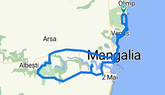
Jak może wyglądać jazda na rowerze w 23 August.

23 August na rowerze

Odkrywaj mapę z 49 trasami rowerowymi i szlakami w pobliżu 23 August, stworzonymi przez naszą społeczność.

Portret regionu

Poznaj 23 August

Znajdź odpowiednią trasę rowerową dla siebie w 23 August – mamy tam 49 tras do odkrycia. Większość osób wybiera się tutaj na rower w miesiącach Lipiec i Sierpień.

3310 km

Zarejestrowany dystans

49

Trasy rowerowe

2849

Populacja

Wspólnota

Najaktywniejsi użytkownicy w 23 August

Od naszej społeczności

Najlepsze trasy rowerowe w 23 August i okolicach

Hotel Amfiteatru-Mangalia-Limanu-Hagieni-Arsa-Pecineaga-23August-Hotel Amfiteatru
Rower górskiUtwardzonyNieutwardzonyŻwir
George Tutuianu
1

Hotel Amfiteatru-Mangalia-Limanu-Hagieni-Arsa-Pecineaga-23August-Hotel Amfiteatru

Trasa rowerowa w 23 August, Okręg Konstanca, Rumunia

55,7 km
Dystans
344 m
Przewyższenia
344 m
Spadek
Olimp - Mangalia
Rower górski
Cornel Bucur
1

Olimp - Mangalia

Trasa rowerowa w 23 August, Okręg Konstanca, Rumunia

25,5 km
Dystans
130 m
Przewyższenia
129 m
Spadek
hotel Amfiteatru Olimp-Mangalia și retur
Rower górski
George Tutuianu
0

hotel Amfiteatru Olimp-Mangalia și retur

Trasa rowerowa w 23 August, Okręg Konstanca, Rumunia

26,6 km
Dystans
100 m
Przewyższenia
101 m
Spadek
Through the vast Dobrogea
Rower szosowyRower miejskiUtwardzonyNieutwardzony
2

Through the vast Dobrogea

Trasa rowerowa w 23 August, Okręg Konstanca, Rumunia

A poorly paved sector (8-10 km) in the first part (from Pecineaga to Amzacea), then from here a lot of head wind on top of a demanding and leg sapping track with a lot of up and downs (there are valleys/bottoms) for about 50 km until Cerchezu (85% of the total ascent is done in this part) - fortunatelly, the head wind stops when you turn the course south. Between km 60 and 70 you have 3-4 parts when you go downhill on a straight road and perfect asphalt when you can reach easily top speed (I've went 59,8 km/h with a trekking bike without forcing). On the southern part of the route you have a more steady parcours (that's how I've felt it, although on map doesn't look necesarilly so - maybe the head wind was a very important factor on this aspect). In the second segment of the southern part I've had another spicy thing, a powerful storm formed on the North Sea who came down from north and then heading west which I've encountered at Cotu Vaii (heavy raining- with chunks of ice and a lot of lightning - which was a bit frightening because were some 15 km with quite little covering down the road (few trees and electric. pillars) - I've stopped for half and hour and then still heavy raining all the way back. Heavy, but very beautiful tour.
128,3 km
Dystans
458 m
Przewyższenia
458 m
Spadek

Odkryj więcej tras