


Пшк 2012-08-18 Микулич-Космач 40км
- 39,8 km
- 1067 m
- 1040 m
- Tatariv, Obwód iwanofrankiwski, Ukraina

Odkrywaj mapę z 76 trasami rowerowymi i szlakami w pobliżu Tatariv, stworzonymi przez naszą społeczność.
Portret regionu
Znajdź odpowiednią trasę rowerową dla siebie w Tatariv – mamy tam 76 tras do odkrycia. Większość osób wybiera się tutaj na rower w miesiącach Czerwiec i Sierpień.
3419 km
Zarejestrowany dystans
76
Trasy rowerowe
1508
Populacja
Od naszej społeczności
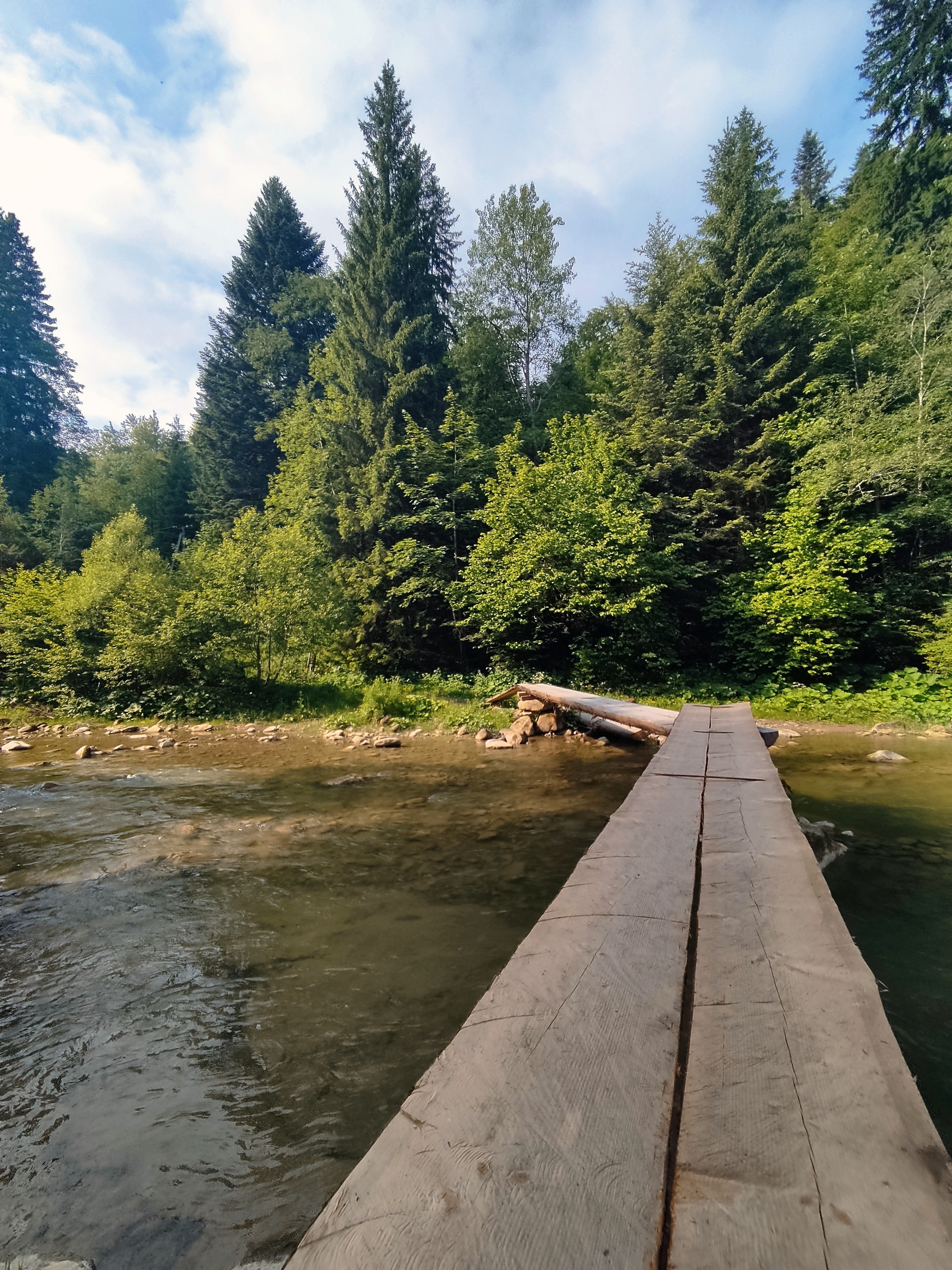
Trasa rowerowa w Tatariv, Obwód iwanofrankiwski, Ukraina
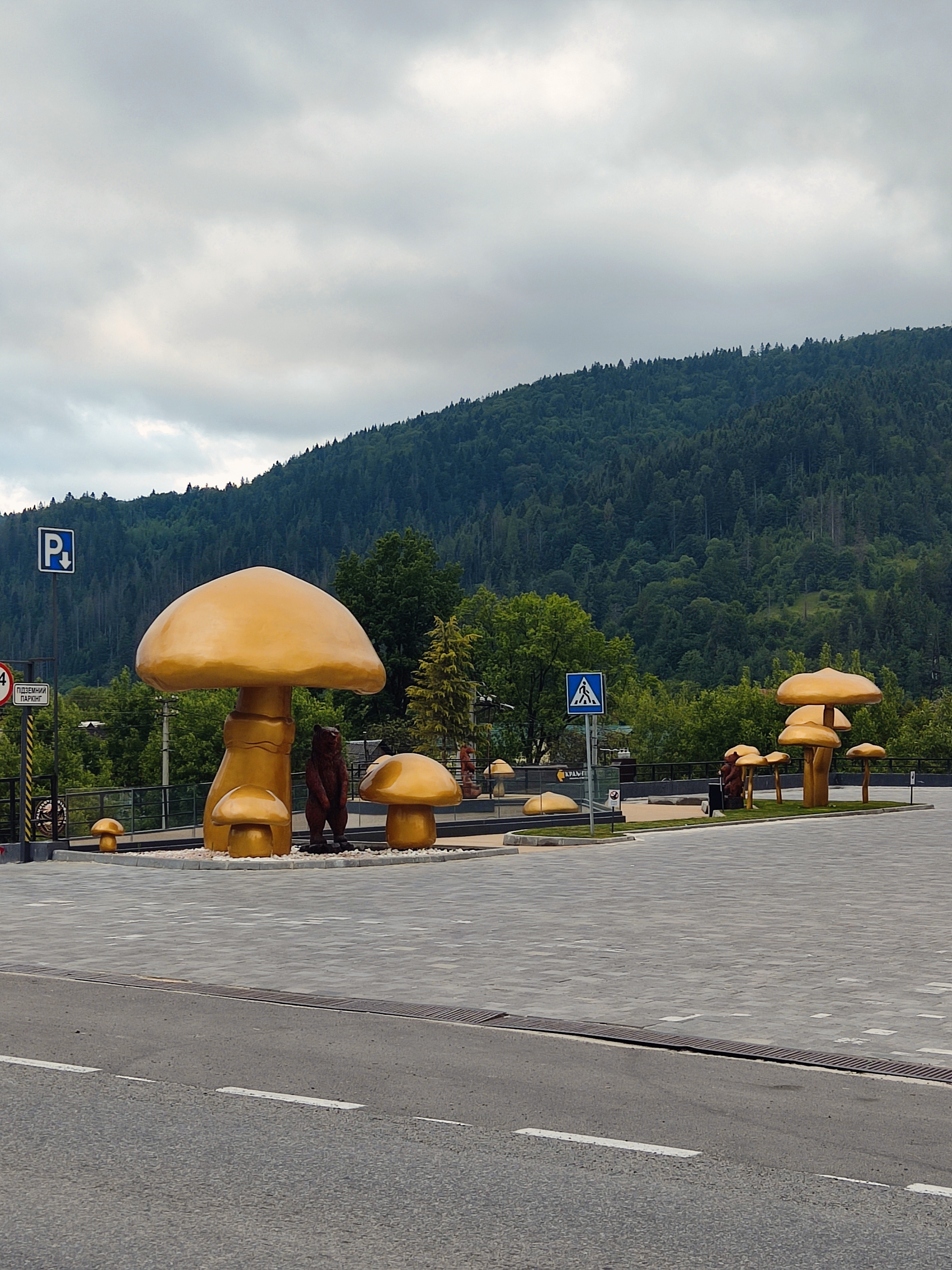
Trasa rowerowa w Tatariv, Obwód iwanofrankiwski, Ukraina
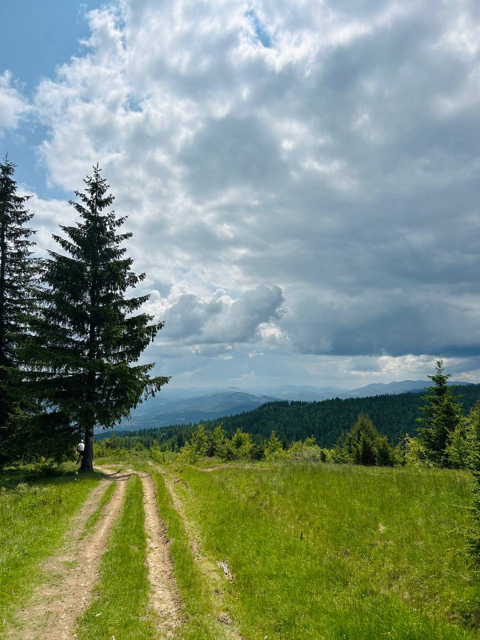
Trasa rowerowa w Tatariv, Obwód iwanofrankiwski, Ukraina


Trasa rowerowa w Tatariv, Obwód iwanofrankiwski, Ukraina


