
Ashton-Sandy Spring na rowerze
Odkrywaj mapę z 7 trasami rowerowymi i szlakami w pobliżu Ashton-Sandy Spring, stworzonymi przez naszą społeczność.
Portret regionu
Poznaj Ashton-Sandy Spring
Znajdź odpowiednią trasę rowerową dla siebie w Ashton-Sandy Spring – mamy tam 7 tras do odkrycia.
819 km
Zarejestrowany dystans
7
Trasy rowerowe
5628
Populacja
Wspólnota
Najaktywniejsi użytkownicy w Ashton-Sandy Spring


Od naszej społeczności
Najlepsze trasy rowerowe w Ashton-Sandy Spring i okolicach

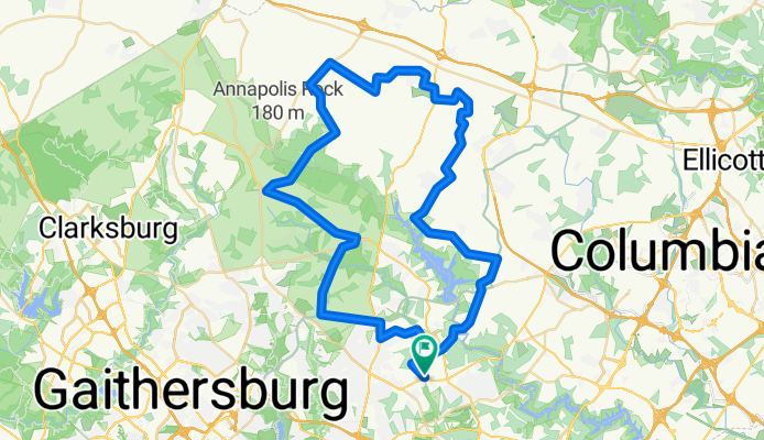
Sherwood/Howard County Loop
Trasa rowerowa w Ashton-Sandy Spring, Maryland, USA
- 46 km
- Dystans
- 389 m
- Przewyższenia
- 388 m
- Spadek

Virginie no1 - trajet effectue
Trasa rowerowa w Ashton-Sandy Spring, Maryland, USA
- 576,4 km
- Dystans
- 1912 m
- Przewyższenia
- 1916 m
- Spadek
HoMontCo challenge 46
Trasa rowerowa w Ashton-Sandy Spring, Maryland, USA
- 73,5 km
- Dystans
- 838 m
- Przewyższenia
- 806 m
- Spadek

210 Haviland Mill Rd, Ashton to 210 Haviland Mill Rd, Ashton
Trasa rowerowa w Ashton-Sandy Spring, Maryland, USA
- 5,1 km
- Dystans
- 110 m
- Przewyższenia
- 126 m
- Spadek