
Kenmore Hills na rowerze
Odkrywaj mapę z 192 trasami rowerowymi i szlakami w pobliżu Kenmore Hills, stworzonymi przez naszą społeczność.
Portret regionu
Poznaj Kenmore Hills
Znajdź odpowiednią trasę rowerową dla siebie w Kenmore Hills – mamy tam 192 tras do odkrycia. Większość osób wybiera się tutaj na rower w miesiącach Kwiecień i Maj.
2992 km
Zarejestrowany dystans
192
Trasy rowerowe
2577
Populacja
Wspólnota
Najaktywniejsi użytkownicy w Kenmore Hills


Od naszej społeczności
Najlepsze trasy rowerowe w Kenmore Hills i okolicach

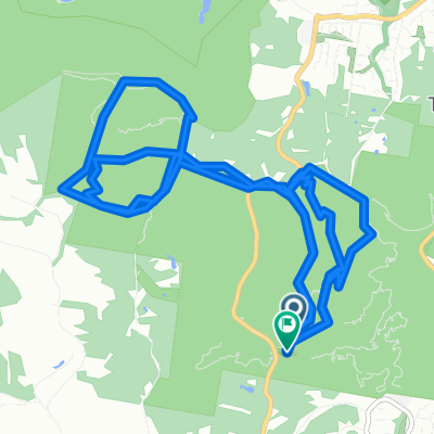
Long bike tour from Fig Tree Pocket to Mt Ommaney
Trasa rowerowa w Kenmore Hills, State of Queensland, Australia
- 31,3 km
- Dystans
- 260 m
- Przewyższenia
- 281 m
- Spadek

Loop: Moggil, Ipswich, Jindalee
Trasa rowerowa w Kenmore Hills, State of Queensland, Australia
- 39,9 km
- Dystans
- 376 m
- Przewyższenia
- 377 m
- Spadek

moggill ferry loop
Trasa rowerowa w Kenmore Hills, State of Queensland, Australia
- 48,9 km
- Dystans
- 772 m
- Przewyższenia
- 763 m
- Spadek

From Brookfield to Saint Lucia
Trasa rowerowa w Kenmore Hills, State of Queensland, Australia
- 14 km
- Dystans
- 135 m
- Przewyższenia
- 147 m
- Spadek
Odkryj więcej tras
 Seventeen Mile Rocks Loop
- Dystans
- 18,6 km
- Przewyższenia
- 207 m
- Spadek
- 184 m
- Lokalizacja
- Kenmore Hills, State of Queensland, Australia
 Route from Quail Trail, Mount Coot-Tha
- Dystans
- 19,3 km
- Przewyższenia
- 681 m
- Spadek
- 680 m
- Lokalizacja
- Kenmore Hills, State of Queensland, Australia
 18 Farnworth Street, Chapel Hill to 18 Farnworth Street, Chapel Hill
- Dystans
- 15,9 km
- Przewyższenia
- 330 m
- Spadek
- 330 m
- Lokalizacja
- Kenmore Hills, State of Queensland, Australia
 2–12 Spearwood Place, Kenmore Hills to 95-111 Ward Street, Indooroopilly
- Dystans
- 6,4 km
- Przewyższenia
- 90 m
- Spadek
- 113 m
- Lokalizacja
- Kenmore Hills, State of Queensland, Australia
 Gap Creek
- Dystans
- 11,1 km
- Przewyższenia
- 248 m
- Spadek
- 247 m
- Lokalizacja
- Kenmore Hills, State of Queensland, Australia
 New commute from Chapel Hill
- Dystans
- 13,8 km
- Przewyższenia
- 184 m
- Spadek
- 245 m
- Lokalizacja
- Kenmore Hills, State of Queensland, Australia
 Indooroopilly-Moggill ferry loop
- Dystans
- 39,4 km
- Przewyższenia
- 294 m
- Spadek
- 294 m
- Lokalizacja
- Kenmore Hills, State of Queensland, Australia
 Toowong then UQ loop
- Dystans
- 24,5 km
- Przewyższenia
- 247 m
- Spadek
- 250 m
- Lokalizacja
- Kenmore Hills, State of Queensland, Australia